Name/Title
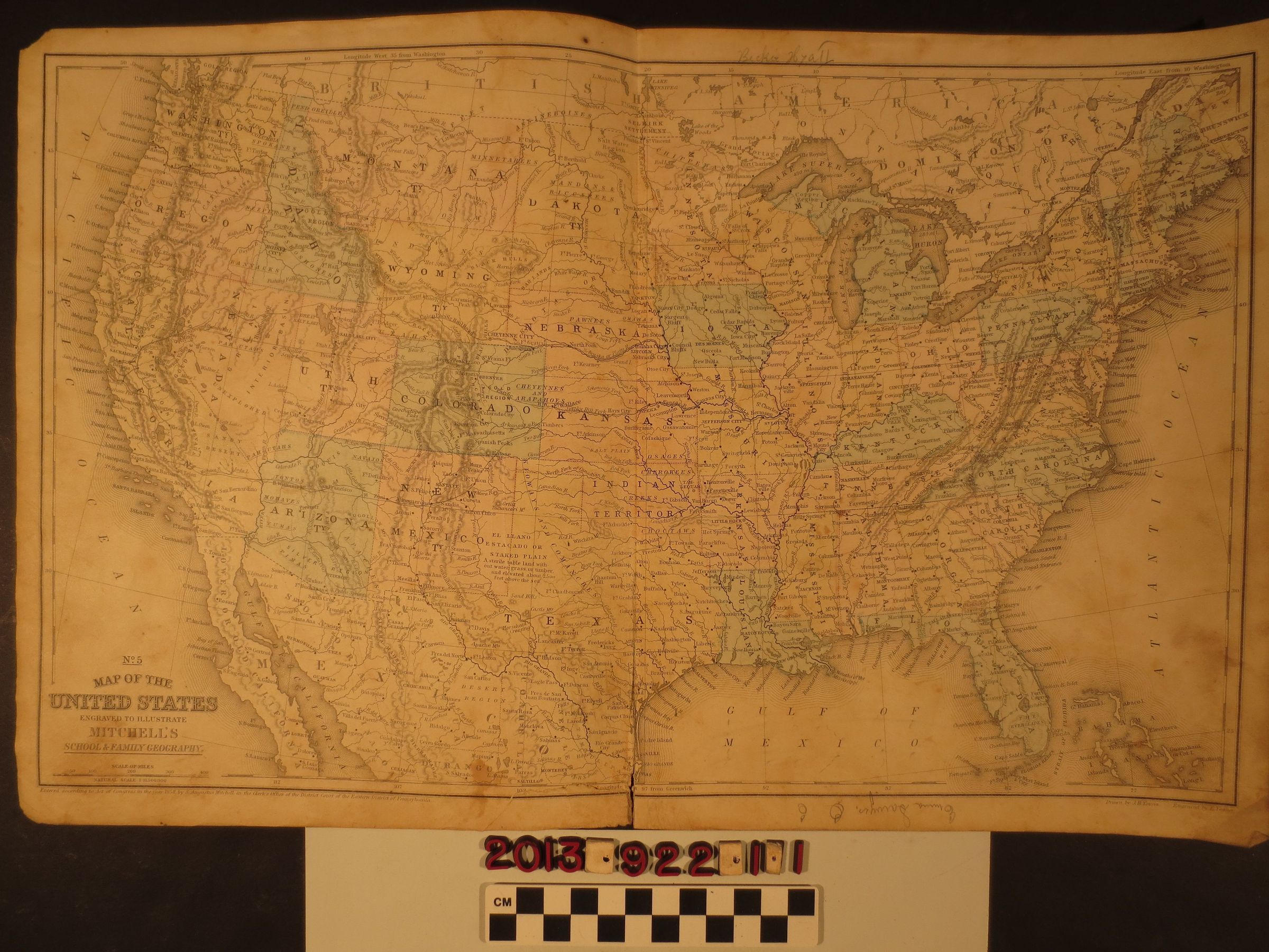
"No. 5 Map of the United States"Entry/Object ID
2013.922.1.1Description
"No. 5 Map of the United States," S. Augustus Mitchell, 1858. Part of "Mitchell's School & Family Geography," the map has the states and territories of the country in several colors, including California and the western territories and states that, excepting the Dakotas, have their present boundaries. Also of note is "Indian Territory," being the future Oklahoma. There are many ink inscriptions on the reverse and a couple of pencil markings on the front that may indicate the map was a gift. With heavy soiling, stains, creases, a tear at the centerfold, at which there is adhesive tape on the reverse, and dogeared corners, the condtion is fair.Lexicon
Search Terms
Cattle--Marking--Los Angeles County (Calif.), Cattle brands--Los Angeles County (Calif.)