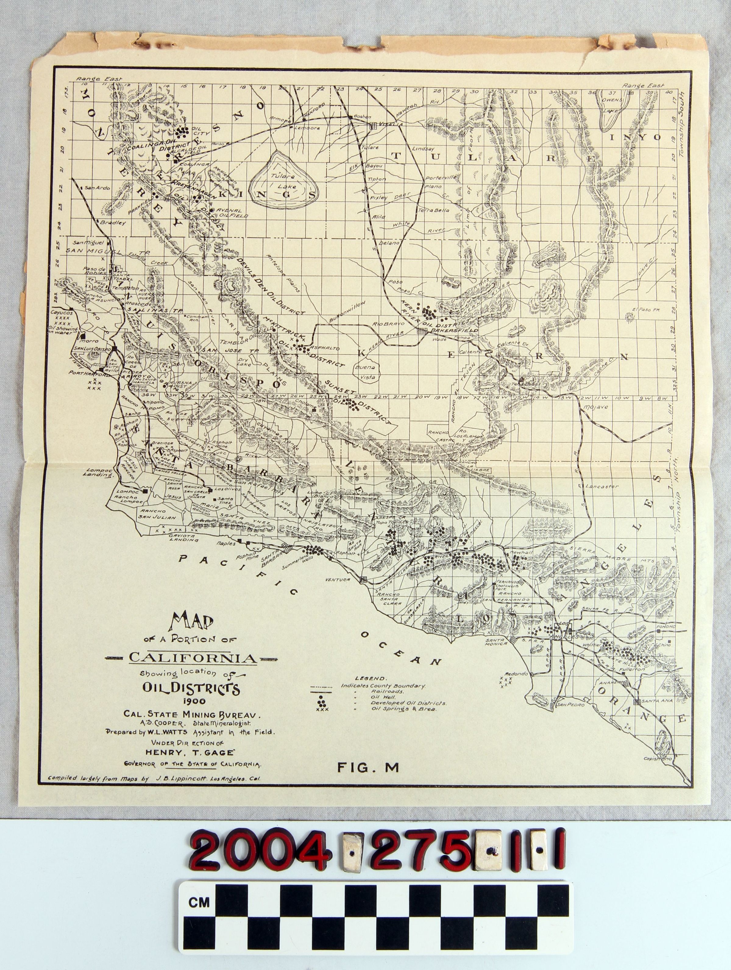
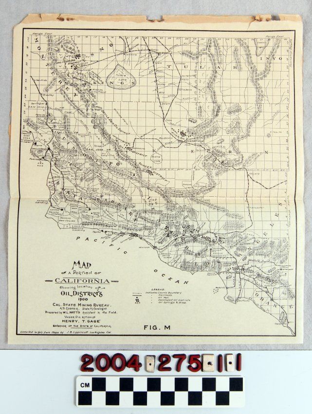
OIL DISTRICTS IN SOUTHERN AND CENTRAL CALIFORNIA, ca. 1900.
Entry/Object ID
2004.275.1.1
Description
OIL DISTRICTS IN SOUTHERN AND CENTRAL CALIFORNIA, ca. 1900. It is an oil district map that shows the areas of Monterey, Fresno, Tulare, Inyo, San Luis Obispo, Santa Barbara, Ventura, Los Angeles, Orange, Kern. The map was prepared by W.L. Watts and compiled with the help of other maps by J.B. Lippincott of Los Angeles, Ca. It is in overall good condition.
Lexicon
Search Terms
California. Department of Oil and Gas, Petroleum prospecting--California, Southern, Oil fields--California, Southern, Petroleum industry and trade--California, Southern, Petroleum mining--California, Southern