Name/Title
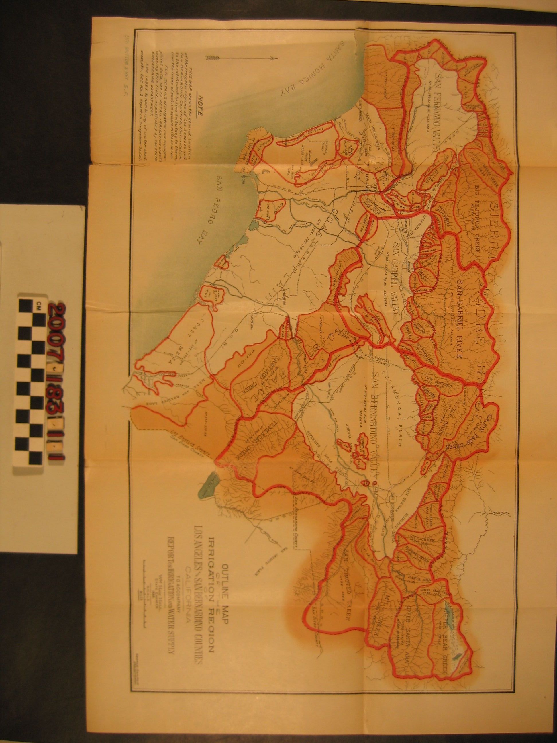
"Outline Map of the Irrigation Region of Los Angeles and San Bernardino Counties"Entry/Object ID
2007.183.1.1Description
"Outline Map of the Irrigation Region of Los Angeles and San Bernardino Counties," George Sandow, draftsman, Britton and Rey, lithographers from the "Report on Irrigation and Water Supply" By William Hammond Hall, California State Engineer, 1888. The item shows many delineated regions tied to catchment basins, mountain sources of water, and rivers. For these areas there is an identification number, amount of square miles, and number of acres. There are other features, including county boundaries, some towns and cities, major rail lines, and others. With original folds, browning, creases, tears on folds, and edge wear, the condition is fair.Lexicon
Search Terms
Britton & Rey [firm], California, Southern--Description and travel, Irrigation--California, Southern, Water-supply--California, Southern