Name/Title
PASADENA, WHITTIER AND POMONA (U. S. DEPARTMENT OF AGRICULTURE)Entry/Object ID
92.43.1.8Description
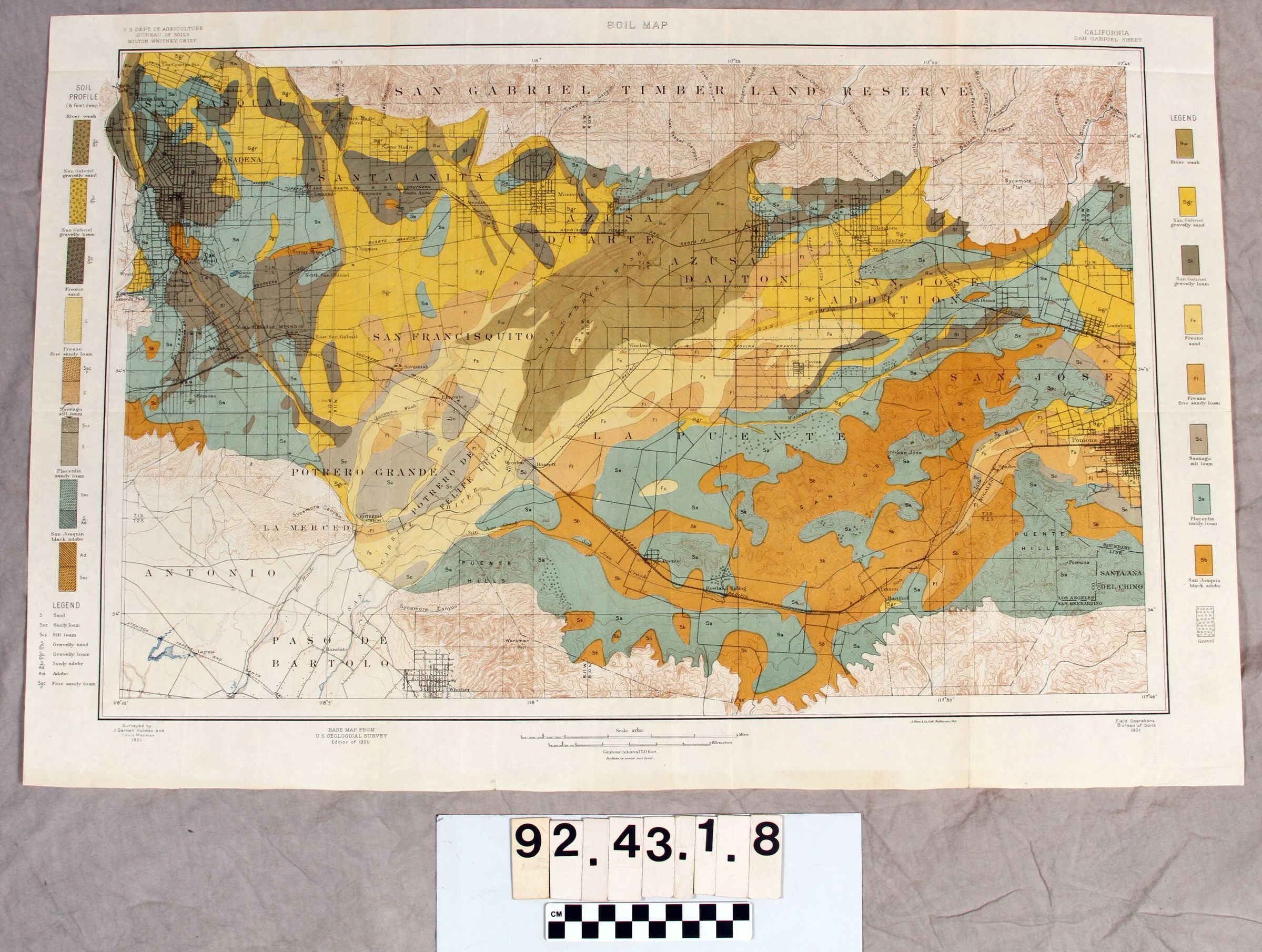
PASADENA, WHITTIER AND POMONA (U. S. DEPARTMENT OF AGRICULTURE)
Map - cream paper, black ink, orange, yellow, brown, green, taupe (with and without patterns) ink used for types of soil, U.S. Department of Agriculture, Bureau of Soils, Milton Whitney, Chief, California, San Gabriel Sheet, Surveyed by J. Garnell Holmes and Louis Mesmer, includes Pasadena, Whittier, Pomona, and types of soils of mapped areas. On reverse in center printed in black ink reads "28".Lexicon
Search Terms
Documentary Artifact, Maps