Plate 27 from Baist's Real Estate Atlas Surveys of Los Angeles
Entry/Object ID
2013.649.1.2
Description
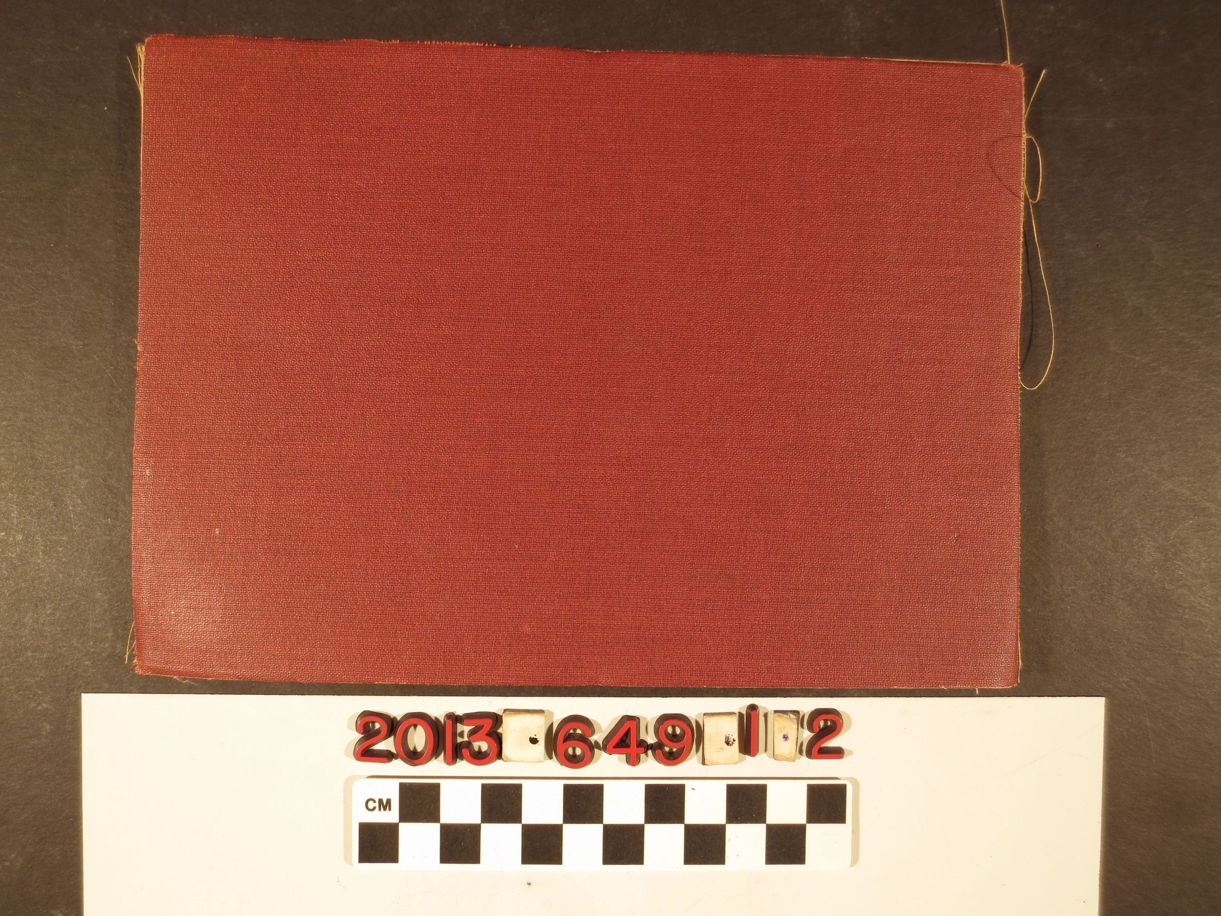
Plate 27 from Baist's Real Estate Atlas Surveys of Los Angeles, Philadelphia, 1914. The plate covers much of East Los Angeles, now Lincoln Heights; Montecity Heights, Sycamore Park; Glassell Park and other areas of northeast Los Angeles. Streets, lot numbers, undeveloped tracts and variations in color for the different properties. The item folds so that there are burgundy cloth boards enclosing the image and the plate number at the upper right corner of the front. With some stains, tears, creases, soiling and rubbing, the overall condition is good.
Lexicon
Search Terms
Cattle--Marking--Los Angeles County (Calif.), Cattle brands--Los Angeles County (Calif.)