Name/Title
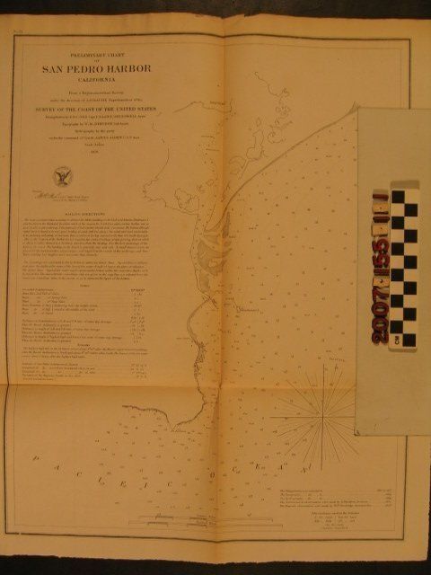
"Preliminary Chart of San Pedro Harbor California"Entry/Object ID
2007.155.1.1Description
Map, "Preliminary Chart of San Pedro Harbor California," United States Coast Survey Office, 1859. The item shows the area from the Palos Verdes Peninsula at the bottom to "New Town" or Wilmington at the top with soundings, descriptions of physical composition (kelp, hard sand, rocks), Deadman's Island and nearby buoys, and the existing landing (with indications of a road and structures). At the upper left is the title, credit to participants, the date, a detailed set of "Sailing Directions" describing the anchorage, information about tides, and remarks. With some edge tears, creasing, stains, and original folds with browning along them, the condition is fair.Lexicon
Search Terms
United States. Coast Survey Office, Ports--California--San Pedro (Los Angeles), Surveys--California--San Pedro (Los Angeles)