Name/Title
PRELIMINARY SURVEY OF SAN PEDRO ANCHORAGE AND VICIITY OF SANTA BARBARA CALIFORNIAEntry/Object ID
2003.216.1.1Description
PRELIMINARY SURVEY OF SAN PEDRO ANCHORAGE AND VICIITY OF SANTA BARBARA CALIFORNIA
Color: Black; White
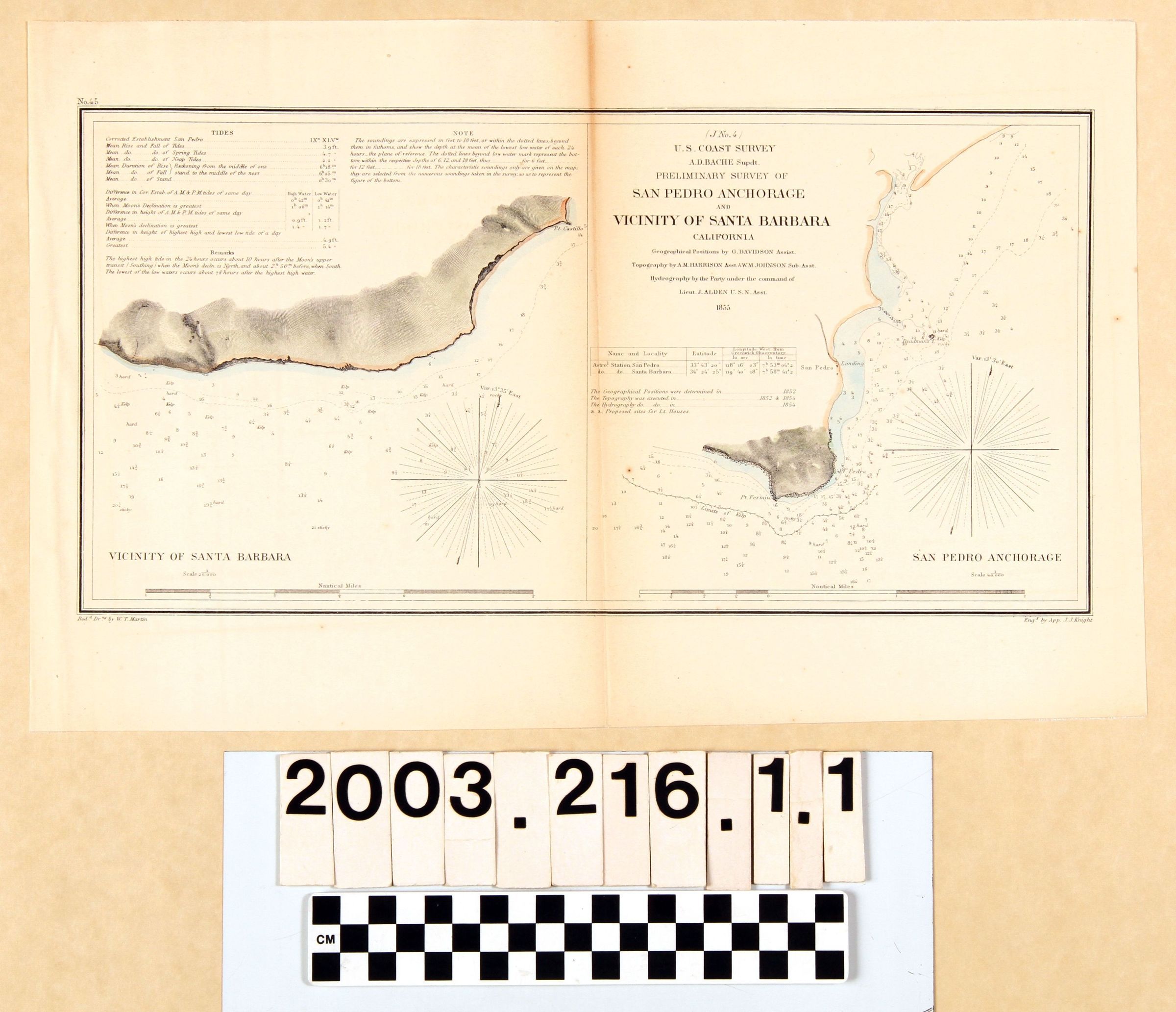
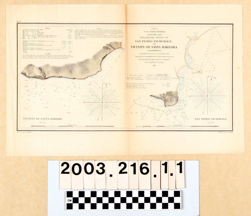
Map, "Preliminary Survey of San Pedro Anchorage and Vicinity of Santa Barbara California," by the U. S. Coast Survey, United States Navy, 1855. The map was supervised by A. D. Bache with geography done in 1852 by G. Davidson, topography done by A, M. Harrison with assistance from A. W. M. Johnson in 1852 and 1854, and hydrography done by a party led by J. Alden in 1854. The engraving was by J. J. Knight and the drawing readied by W. T. Martin. The map is divided into two panels, with the left of the Santa Barbara area and the right of San Pedro. Both show the coast, sounding locations, areas of kelp concentrations, and a few place names or landmarks. The title and list of preparators are at the left of the right panel, along with information on survey element dates and a latitude and longitude chart. At the upper left of the Santa Barbara panel is information on tides, remarks, and notes. Both panels have compass points for variations and scales of nautical miles. The engraver and drawing preparator's names are at the bottom right and left, respectively, and the number 45 at the upper left. With light creases at the left; minor browning; and original center fold; and light foxing at the right, the overall condition is good.Lexicon
LOC Thesaurus for Graphic Materials
AnchorageSearch Terms
Two-dimensional, Maps, United States. Navy, United States Coast Survey, Harbors--Anchorage--San Pedro (Calif.), Harbors--Anchorage--Santa Barbara (Calif.), Surveying--Plotting, Topographical drawing--California, Topographical surveying--California