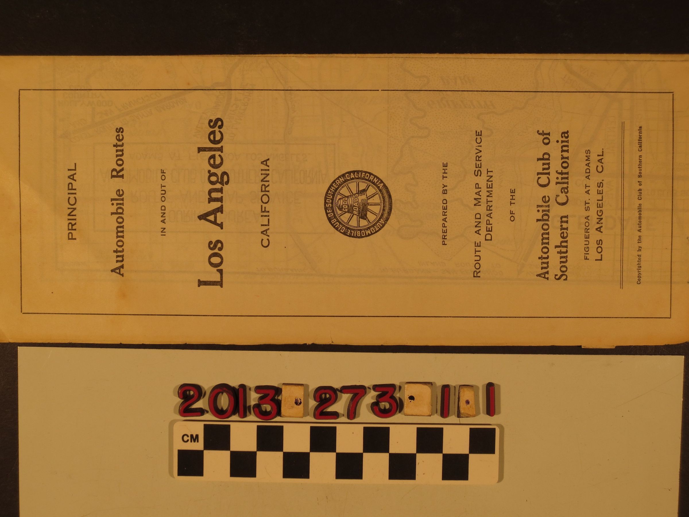
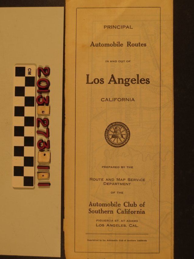
"Principal Automobile Routes In and Out of Los Angeles California"
Entry/Object ID
2013.273.1.1
Description
A road map, "Principal Automobile Routes In and Out of Los Angeles California," Automobile Club of Southern California, Los Angeles, ca. 1920s. The map folds out to take in much of the city and environs, from west Los Angeles on the west to Pasadena and Alhambra on the east and from Glendale and Eagle Rock on the north to Huntington Park and south Los Angeles on the south. Major arterial roadways are in thick black lines and smaller ones are in thinner lines. Someone has used orange crayon to mark certain routes from the northeast, southwest and southwest. Other panels concern directions from various directions to downtown and there is an index of towns and locations with principal access roads. With tape repairs, some significant browning, small tears on folds and and at the edges and creases, the overall condition is fair.
Lexicon
Search Terms
United States. Department of the Interior. Commission for Settling Land Claims in California, United States. Treasury Department, United States. Congress. House of Representatives