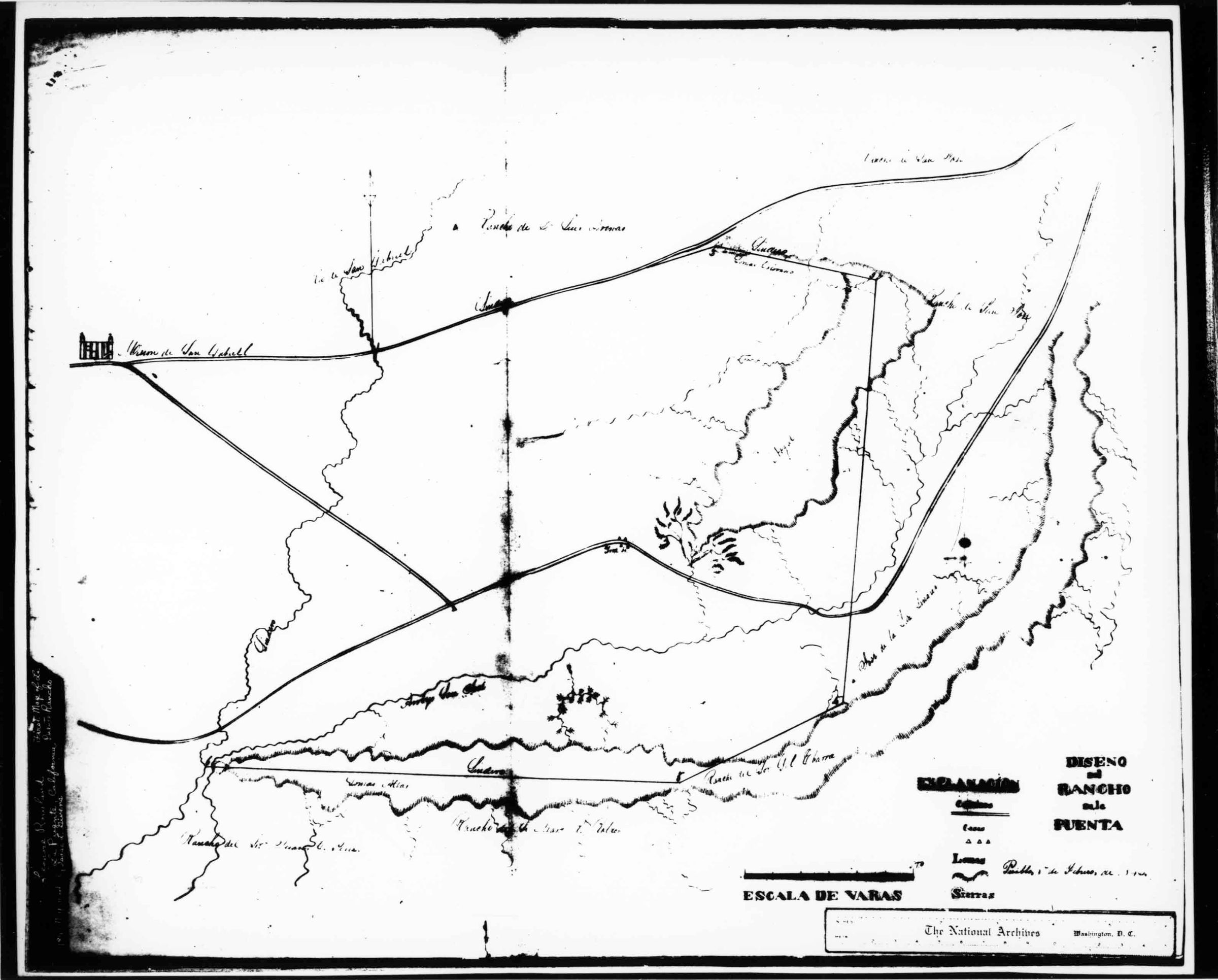
A black and white reproduction photograph of a map of the Rancho La Puente, 1842. The original map is from the National Archives, is based upon the survey of Isaac Given, and was used by John Rowland in his claim to the rancho. A copy negative is 93.47.1b
Number-Units: 1