Name/Title
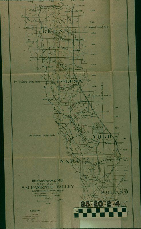
RECONNAISANCE MAP OF THE WEST SIDE OF SACRAMENTO VALLEYEntry/Object ID
95.20.2.4Description
RECONNAISANCE MAP OF THE WEST SIDE OF SACRAMENTO VALLEY
Color: White
A reconnaissance map of the western Sacramento Valley mining district northern California, issued by the California State Mining Bureau and compiled by Lawrence Vander Leck and Fletcher Hamilton, 1920. The plate has the district, including sections of, from north to south, Glenn, Colusa, Yolo, Napa, and Solano counties, laid out in township grids with many townships identified and the sections numbered. Physical features identifoed include mountain ranges and individual peaks; lines for creeks and rivers; and place parallels are given as well as the line of the Mt. Diablo Meridian. Railroad lines are also in several locations of the map as are a few small faul lines. In good condition, the artifact has creases from being folded, as Plate IV, into item .10, Petroleum Resources of California, Bulletin 89 (Sacramento: California State Mining Bureau), 1921, and very slight discoloration.Lexicon
Search Terms
Two-dimensional, Maps, California State Mining Bureau, Oil fields--California, Petroleum--Prospecting--California, Petroleum industry and trade--California