Name/Title
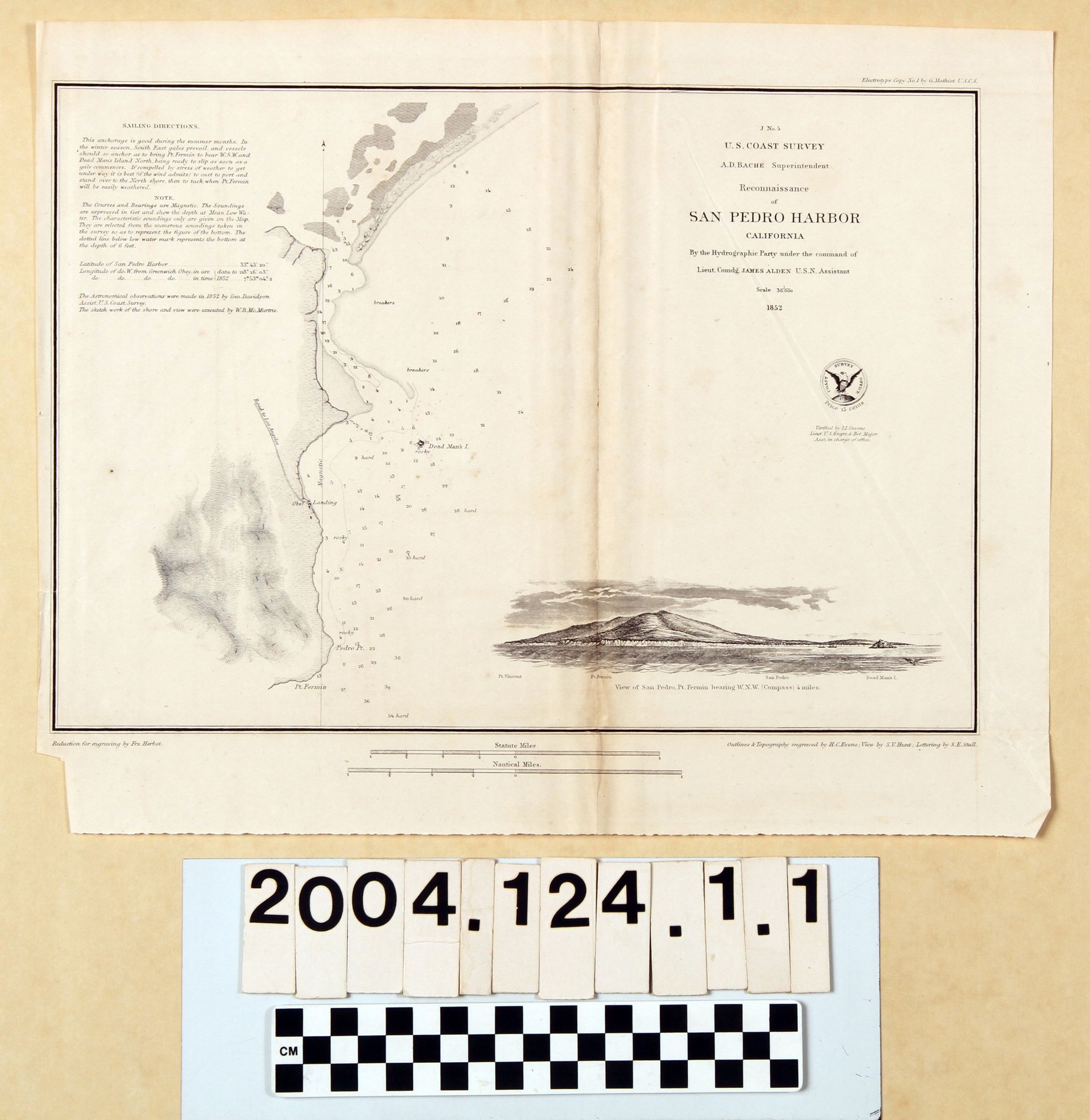
"RECONNAISSANCE OF SAN PEDRO HARBOR"Entry/Object ID
2004.124.1.1Description
Color: Black; White
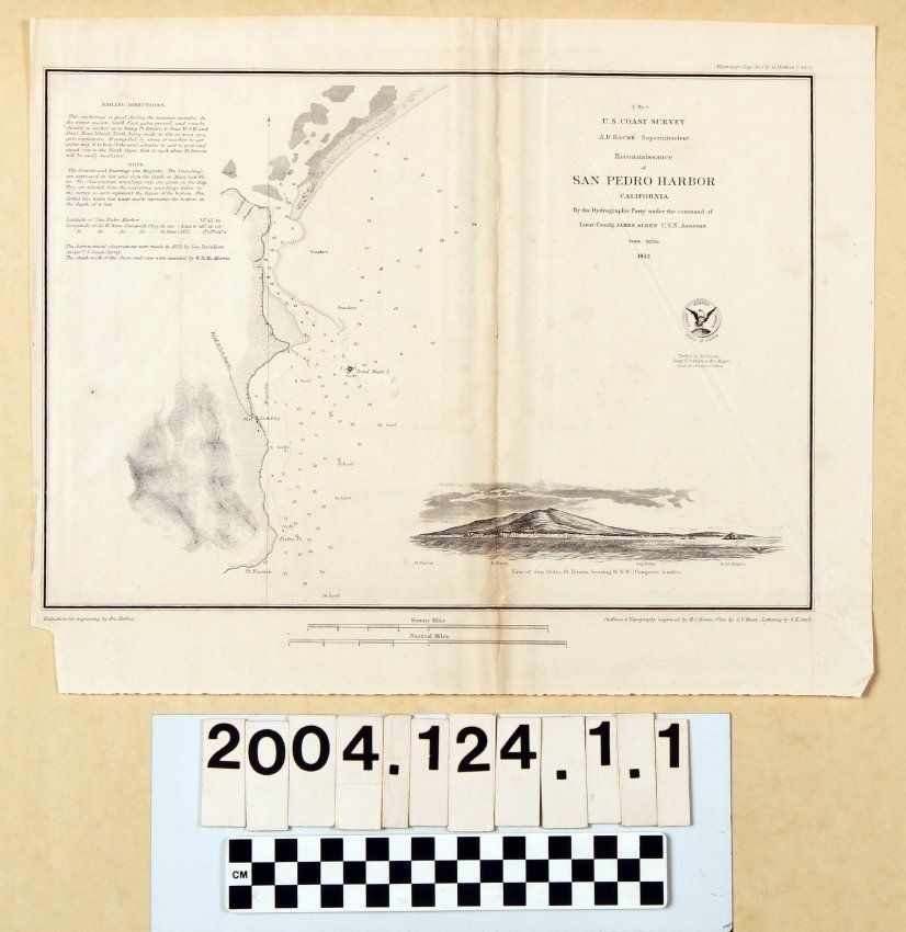
Map, "Reconnaissance of San Pedro Harbor [J No. 5]," U. S. Coast Survey, United States Navy, 1852. The map was conducted under the auspices of superintendent A. D. Bache under the command of naval officer James Alden. The map shows the area on the eastern side of the Palos Verdes peninsula up toward present Wilmington with topographical details, notations of bottoms, and soundings, as well as occasional inland references, such as the "Road to Los Angelos [sic]" on the left coming from a landing and observatory. There are also locations of hard, rocky, and breaker areas. Dead Man's Island is also of note--there would be later attempts to survey it for a possible railroad wharf. At the upper left are sailing directions, notes, and the positions of longitude, latitude, and variations of the magnetic needle. At the upper right is the title and date. A view of the harbor is at the bottom, below which are scales for statute and naturical miles. Artists' credits are at the bottom left and right, as well as at the top right. With brittleness, creases, some soiling, Ware and tears at the left center edge, the overall condition is good.Lexicon
LOC Thesaurus for Graphic Materials
AnchorageSearch Terms
Two-dimensional, Maps, United States. Navy, United States Coast Survey, Harbors--Anchorage--San Pedro (Los Angeles, Calif.), Surveys--Plotting, Topographical drawing--California, Topographical surveying--California