Name/Title
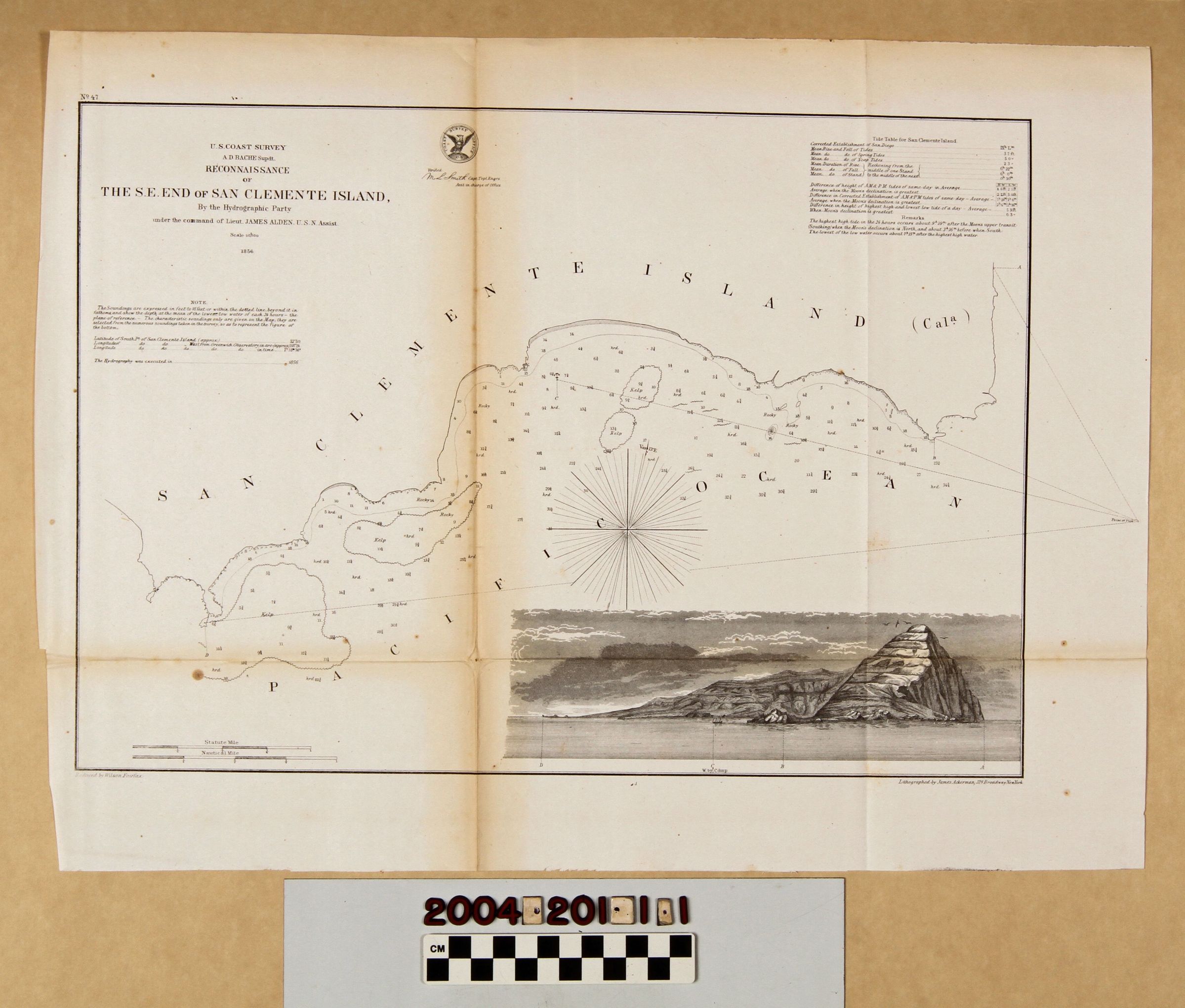
"RECONNAISSANCE OF THE S.E. END OF SAN CLEMENTE ISLAND"Entry/Object ID
2004.201.1.1Description
"RECONNAISSANCE OF THE S.E. END OF SAN CLEMENTE ISLAND"
Color: Black; White
Map, "Reconnaissance of the S.E. End of San Clemente Island," U. S. Coast Survey, United States Navy, 1856. The map was conducted under the auspices of superintendent A. D. Bache under the command of naval officer James Alden with reduction by Wilson Fairfax and lithography by James Ackerman. The map shows the surveyed area including some topographical details, notations of bottoms, and soundings, as well as areas of rock or kelp offshore. At the bottom right corner is a view of the area from the east with letters indicating points of view as shown on the map, including an anchored boat at point c). At the lower left are scales of statute and nautical miles. At the upper right are tide tables and notes. At the upper left is the title, date, and names of survey leaders, the verifying stamp of the survey with the signature of the head of the topographical engineers, and a note on soundings, location of latitude and longitude, and the date of the hydrography. With acid burns at the front near the center creases, creases, a dent at the top front, a few areas of foxing, losses to the lower left corner area, possible pest damage at the bottom center edge, and slight edge tears, the condition is good.Lexicon
LOC Thesaurus for Graphic Materials
AnchorageSearch Terms
Two-dimensional, Maps, United States. Navy, United States Coast Survey, Harbors--Anchorage--San Clemente Island (Calif.), Surveys--Plotting, Topographical drawing--California, Topographical surveying--California, Islands--California