Name/Title
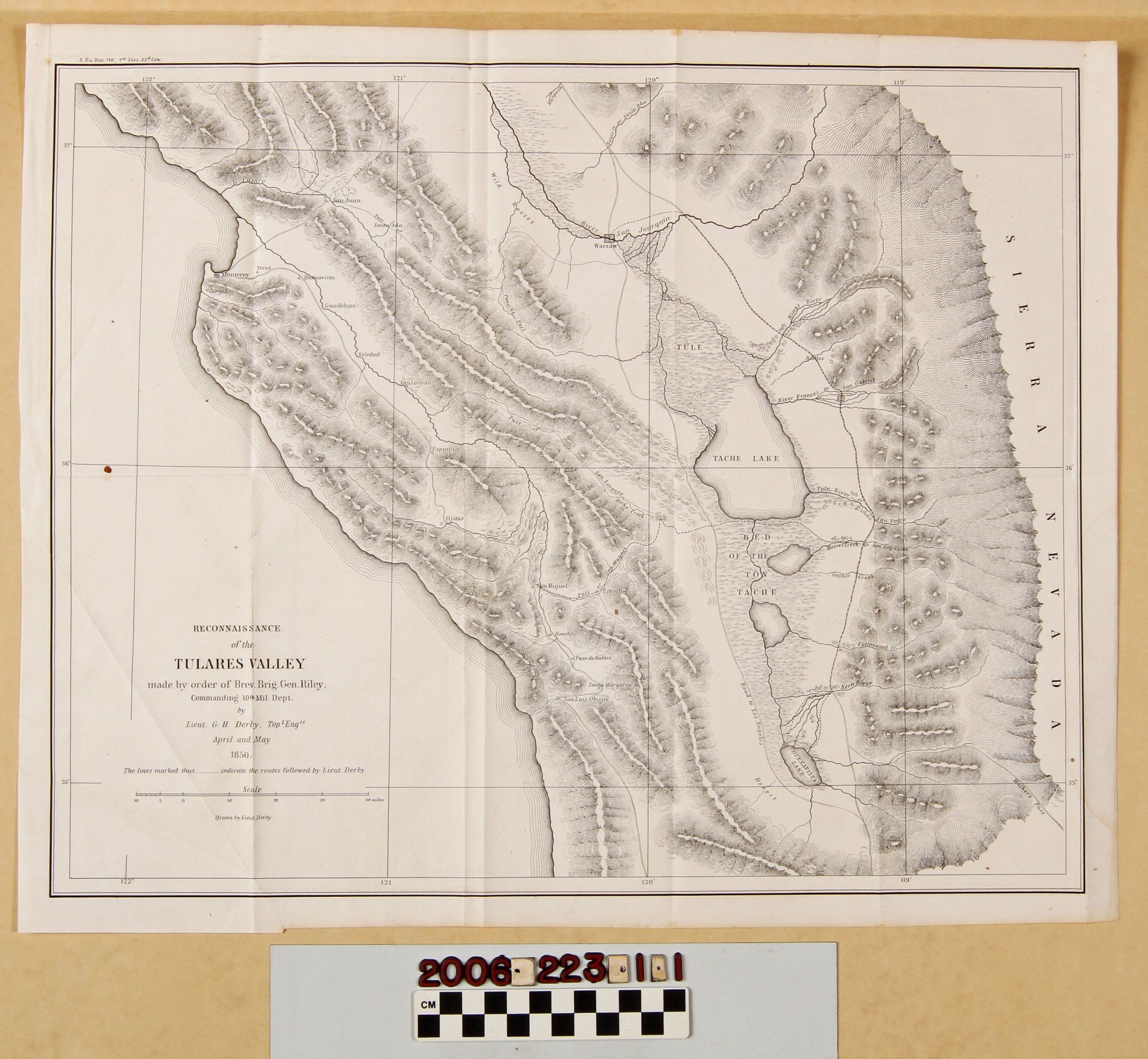
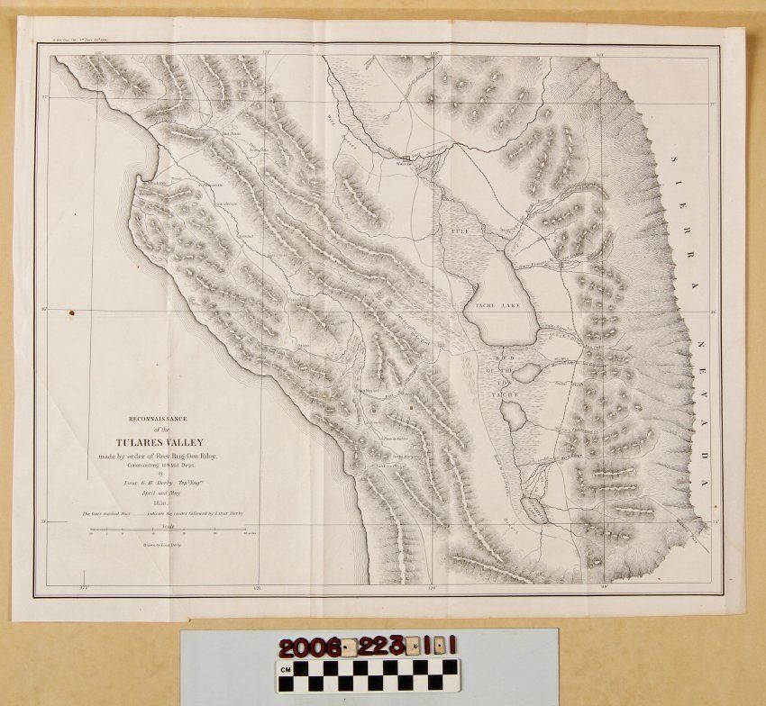
"Reconnaissance of the Tulares Valley"Entry/Object ID
2006.223.1.1Description
"Reconnaissance of the Tulares Valley," Lieutenant G. H. Derby, April and May 1850. The map shows the southern end of the San Joaquin Valley and adjacent coast, showing settlements, mission locations, rivers, mountain and hill locations, the route taken by the reconnaissance group, and existing roads, including the "Road to Los Angelos" that may have been that also taken in driving cattle to the gold fields. With some creases, especially on the lower left corner, a few spots of foxing, liquid stains on the edge, a few stains, and folds, the condition is good.Lexicon
Search Terms
United States Army, California--Description and travel, Roads--California, San Joaquin Valley (Calif.)--Description and travel