Name/Title
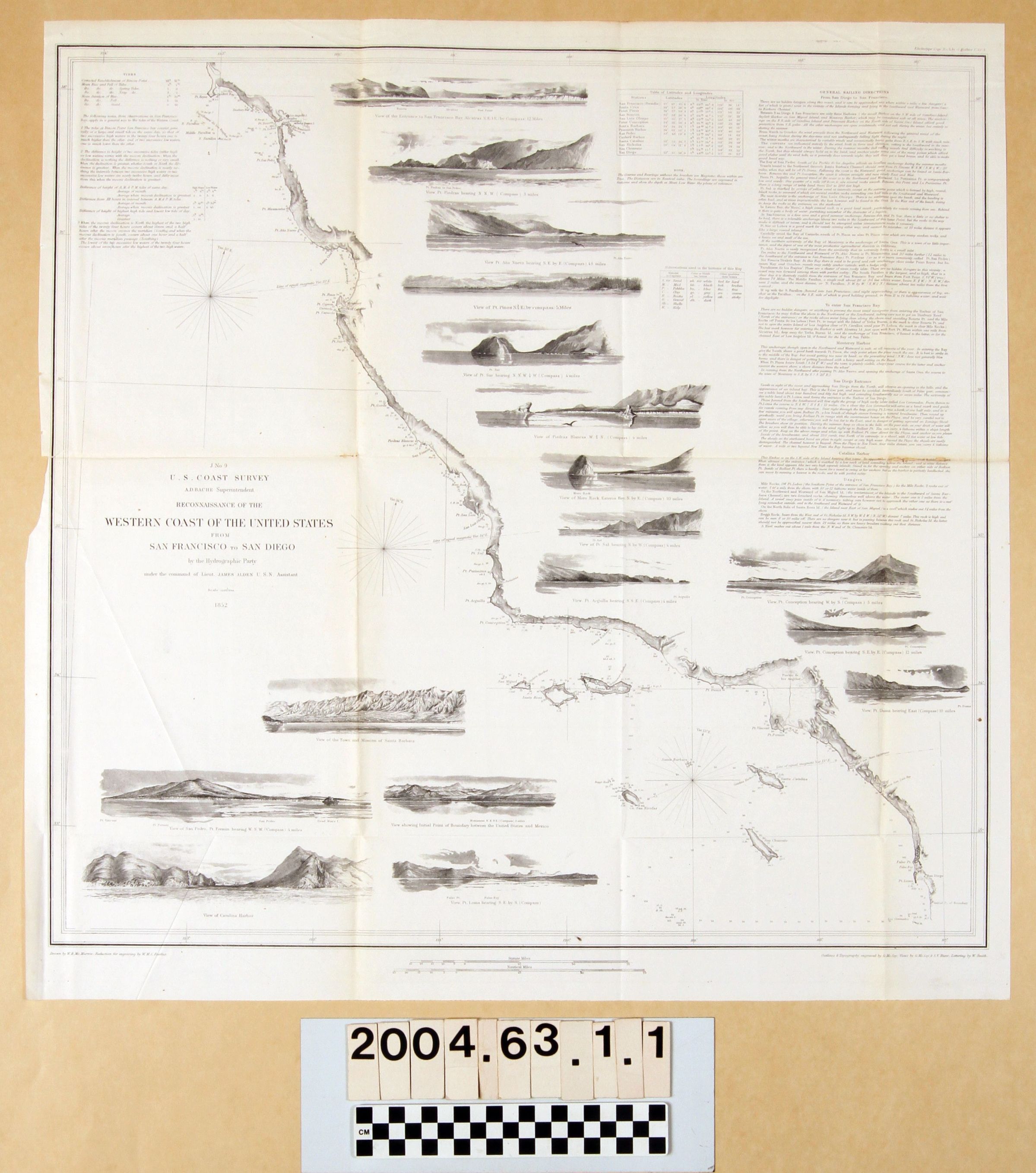
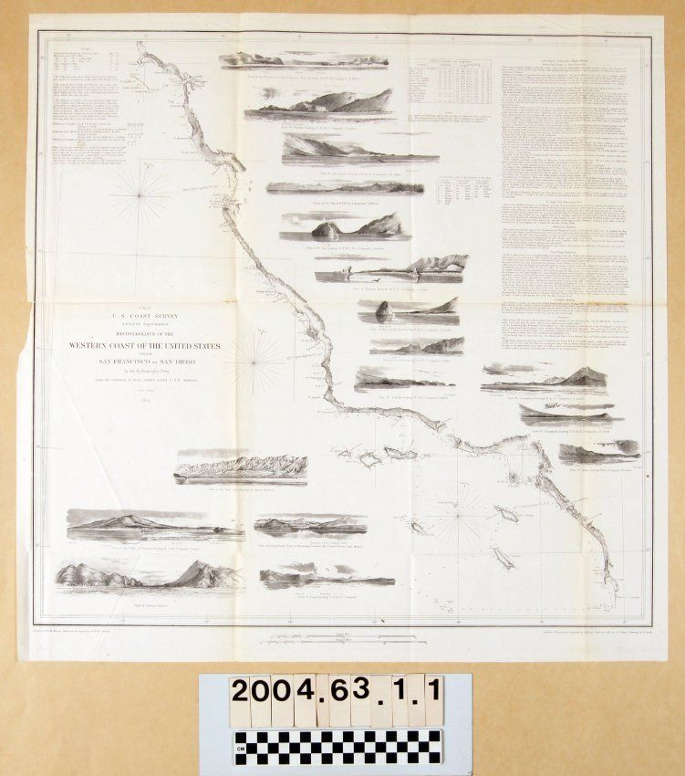
"RECONNAISSANCE OF THE WESTERN COAST OF THE UNITED STATES FROM SAN FRANCISCO TO SAN DIEGO"Entry/Object ID
2004.63.1.1Description
"RECONNAISSANCE OF THE WESTERN COAST OF THE UNITED STATES FROM SAN FRANCISCO TO SAN DIEGO"
Color: Black; White
Map, "Reconnaissance of the Western Coast of the United States from San Francisco to San Diego [J No. 9]," U. S. Coast Survey, United States Navy, 1852. The map was conducted under the auspices of superintendent A. D. Bache under the command of naval officer James Alden. The map shows the coast with detailed coastal mapping and soundings, as well as occasional inland references, such as the "Pueblo de los Angelos" and the road running from it to the harbor at San Pedro. The are also seventeen views of various points along the coast, including ones of San Pedro and Point Fermin, as well as Catalina Harbor. At the upper right are detailed sailing instructions for several harbors, including the notation that anchorage at San Pedro is good during summer, but implying that it is not so well otherwise. Tables for latitude and longitude of landings, abbreviations for bottoms identification and information on tides, at the upper left, are also of note. The title is at the center left next to a compass, and scales of statute and nautical miles are at the bottom center. The names of the engraver, view artists, and letterer are at the bottom right and left. The copy electrotypist's name is at the upper right. With creases, yellowing, original folds, and evidence of pest damage or tears at the center horizontal fold's right side, the overall condition is good.Lexicon
LOC Thesaurus for Graphic Materials
AnchorageSearch Terms
Two-dimensional, Maps, United States. Navy, United States Coast Survey, Harbors--Anchorage--California, Surveys--Plotting, Topographical drawing--California, Topographical surveying--California