Name/Title
REPRODUCED 1884 MAP FROM "MAPS OF LOS ANGELES"Entry/Object ID
2003.251.1.2Description
REPRODUCED 1884 MAP FROM "MAPS OF LOS ANGELES"
Color: Black; Blue; Green; Orange; Yellow
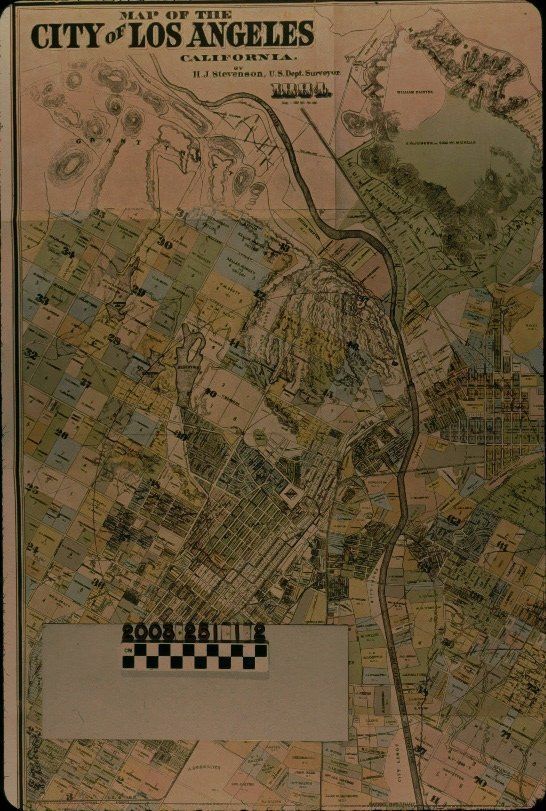
A reproduction of an 1884 map of Los Angeles by U. S. Deputy Surveyor H. J. Stevenson from the book "Maps of Los Angeles: From Ord's Survey to the End of the Boom of the Eighties," by W. W. Robinson (Los Angeles: Dawson's Bookshop,) 1966. The item shows the area from the Griffith Park and Highland Park areas to the north to the city boundary on the south and from near U. S. C. and north to the Hollywood Hills on the west, to the East Los Angeles and Boyle Heights areas on the east. Colored sections show individually-owned properties, tracts and subdivisions, city-owned lands, and such areas as parks, cemeteries, and other land types. The Los Angeles River, creeks, hills, roads, reservoirs, and other features are also of note. One and two mile radii from the Plaza are also provided. At the top left is the title, surveyor's name, and date, as well as a note that the scale is 1200 feet to the inch. At the bottom is the date entered by Stevenson at the Library of Congress. At the top right is a caption from the book, noting that this reproduction is slightly smaller than the original and from whose collection the original came. With only folds from its housing in the book, the item is in mint condition.Lexicon
Search Terms
Two-dimensional, Maps, Maps--Los Angeles (Calif.), Land tenure--Los Angeles (Calif.)