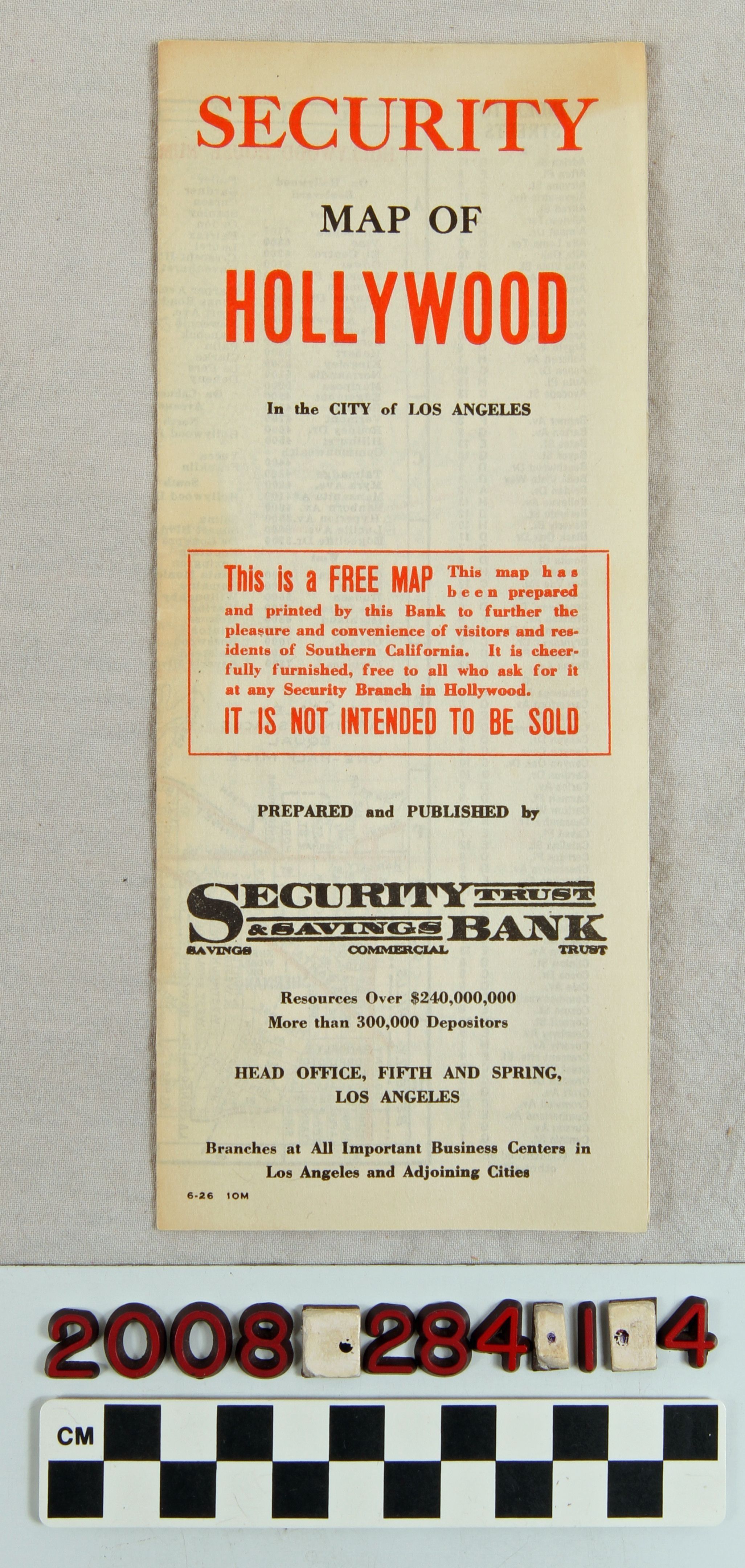
"Security Map of Hollywood in the City of Los Angeles"
Entry/Object ID
2008.284.1.4
Description
"Security Map of Hollywood in the City of Los Angeles," issued by Security Trust and Savings Bank, June 1926. When unfolded there is a four-panel map of the community from Beverly Boulevard on the south to Hollywoodland and Griffith Park on the north and from Doheny Drive on the west to east of Hoover Street on the east. Red lines indicate major roads. There is also a table of house numbers and an index to streets, the latter of which continues on the reverse along with a decription and images of nearby bank branches. With some edge browning and light soiling, the condition is good.
Lexicon
Search Terms
California. Department of Public Health. Bureau of Child Hygiene, United States. Department of Labor. Children's Bureau.