Name/Title
SKETCH J, NO. 2, SHOWING THE PROGRESS OF THE SURVEY OF THE WESTERN COAST OF THE UNITED STATES, SECTIONS X & XIEntry/Object ID
2003.217.1.1Description
SKETCH J, NO. 2, SHOWING THE PROGRESS OF THE SURVEY OF THE WESTERN COAST OF THE UNITED STATES, SECTIONS X & XI
Color: Black; White
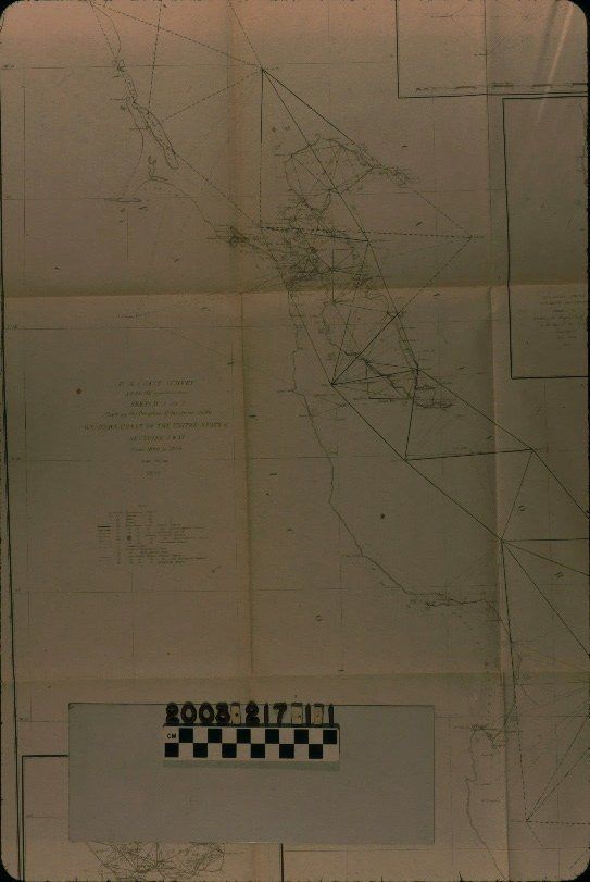
Map, "Sketch J, No. 2, Showing the Progress of the Survey on the Western Coast of the United States, Sections X & XI," U. S. Coast Survey, United States Navy, 1855. The map was conducted under the auspices of superintendent A. D. Bache with details compiled from 1850 to 1855. The map shows the coast from south of Monterey to near Fort Ross and areas in around the San Francisco Bay inland. The title and legend are at the left center and denote the markings for astronomical, magnetic, tidal, current, and primary, secondary, and tertiary occupied and unoccupied stations. Also marked are state boundaries, limits of topographic and hydrographic sheets. Points of latitude and longitude are at the border and a scale of statute miles is at the bottom. There are also insets of the mouth and partial inland areas of the Columbia River, the Bay of San Diego, and San Pedro and vicnity. This latter contains the area from Point Conception in the north to Las Bolsas in present Orange County in the south. The approximate meridian, and chartings of coastal and some inland locations are also marked. With some archival tape along fold lines; light creases throughout and one significant one through the San Pedro inset; light browning; a few areas of foxing; and the original folds, the overall condition is good.Lexicon
LOC Thesaurus for Graphic Materials
AnchorageSearch Terms
Two-dimensional, Maps, United States. Navy, United States Coast Survey, Harbors--Anchorage--San Pedro (Calif.), Harbors--Anchorage--California, Surveying--Plotting, Topographical drawing--California, Topographical surveying--California