Name/Title
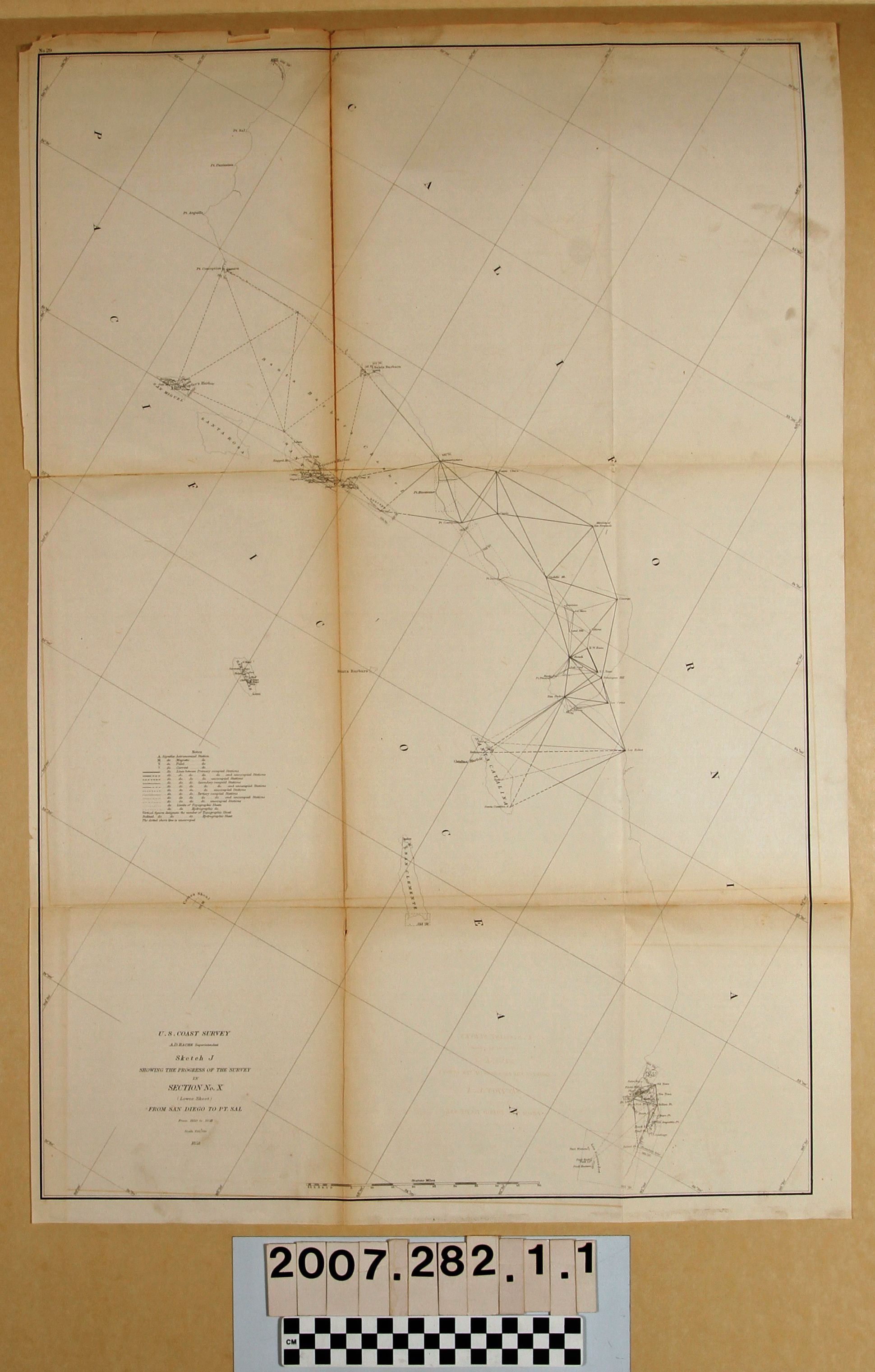
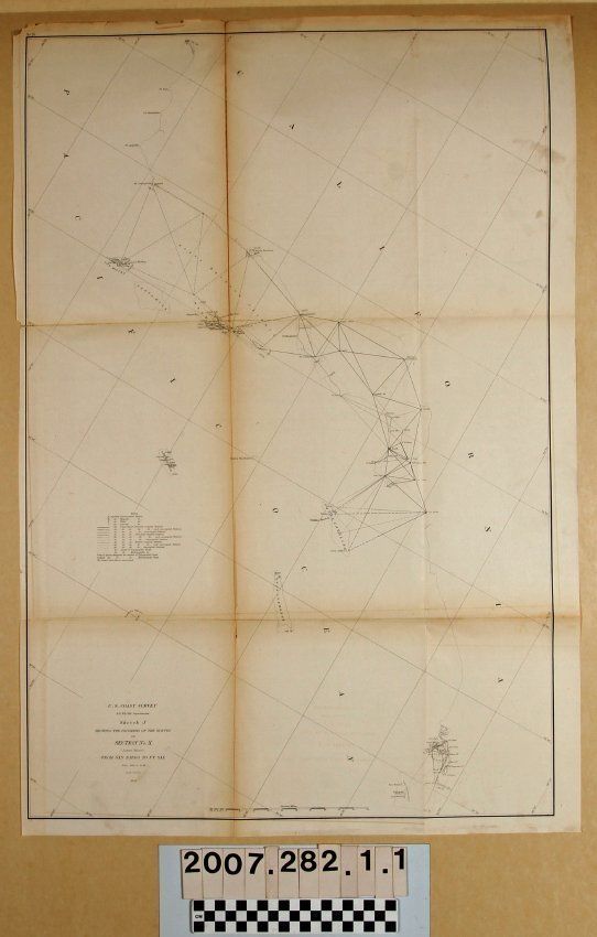
SKETCH J, SHOWING THE PROGRESS OF THE SURVEY IN SECTION NO. X (LOWER SHEET) FROM SAN DIEGO TO POINT SALEntry/Object ID
2007.282.1.1Description
"Sketch J, Showing the Progress of the Survey in Section X (Lower Sheet) from San Diego to Point Sal From 1850 to 1858," U. S. Coast Survey, United States Navy, 1858. The map was conducted under the auspices of superintendent A. D. Bache and shows the coast from the U. S./Mexico border below San Diego to San Luis Obispo, though the survey markings go as far north as Point Conception. In the Los Angeles area the markings are generally around the Palos Verdes peninsula and the San Pedro area, but also include inland areas as far as "Cowango" or Cahuenga Pass and also out to Santa Catalina Island. The title and legend are at the left center and denote the markings for astronomical, magnetic, tidal, current, and primary, secondary, and tertiary occupied and unoccupied stations. Also marked are points of latitude and longitude and a scale of statute miles is at the bottom left. With tears, small missing sections, soiling, and much tape suporting folds, the condition is fair.Lexicon
LOC Thesaurus for Graphic Materials
AnchorageSearch Terms
United States. Navy, United States Coast Survey, Harbors--Anchorage--San Pedro (Calif.), Harbors--Anchorage--Santa Barbara (Calif.), Harbors--Anchorages--San Diego (Calif.), Surveys--Plotting, Topographical drawing--California, Topographical surveying--California