Name/Title
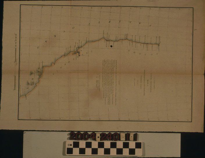
SKETCH J, SHOWING THE PROGRESS OF THE SURVEY OF THE WESTERN COAST, 1849-1851Entry/Object ID
2004.240.1.1Description
SKETCH J, SHOWING THE PROGRESS OF THE SURVEY OF THE WESTERN COAST, 1849-1851
Color: Black; White
Map, "Sketch J, Showing the Progress of the Survey on the Western Coast, 1849-1851," U. S. Coast Survey, United States Navy, 1851. The map was conducted under the auspices of superintendent A. D. Bache and shows the coast from the Mexican border to the Columbia River separating Oregon from Washington. The title and scale are at the upper right and include notes on what had been accomplished with reconnaisances, preliminary surveys, and surveys. A legend of letter symbols for astronomical, magnetic, and tidal stations is also provided. Harbors, islands, points, bays, and other features are noted, although little had been done on the coast area near Los Angeles to date. A scale of statute miles is at the bottom. With creases from original folds, soiling, some discoloration, fading, and archival support in evidence, the overall condition is good.Lexicon
LOC Thesaurus for Graphic Materials
AnchorageSearch Terms
Two-dimensional, Maps, United States. Navy, United States Coast Survey, Harbors--Anchorage--California, Surveying--Plotting, Topographical drawing--California, Topographical surveying--California