Name/Title
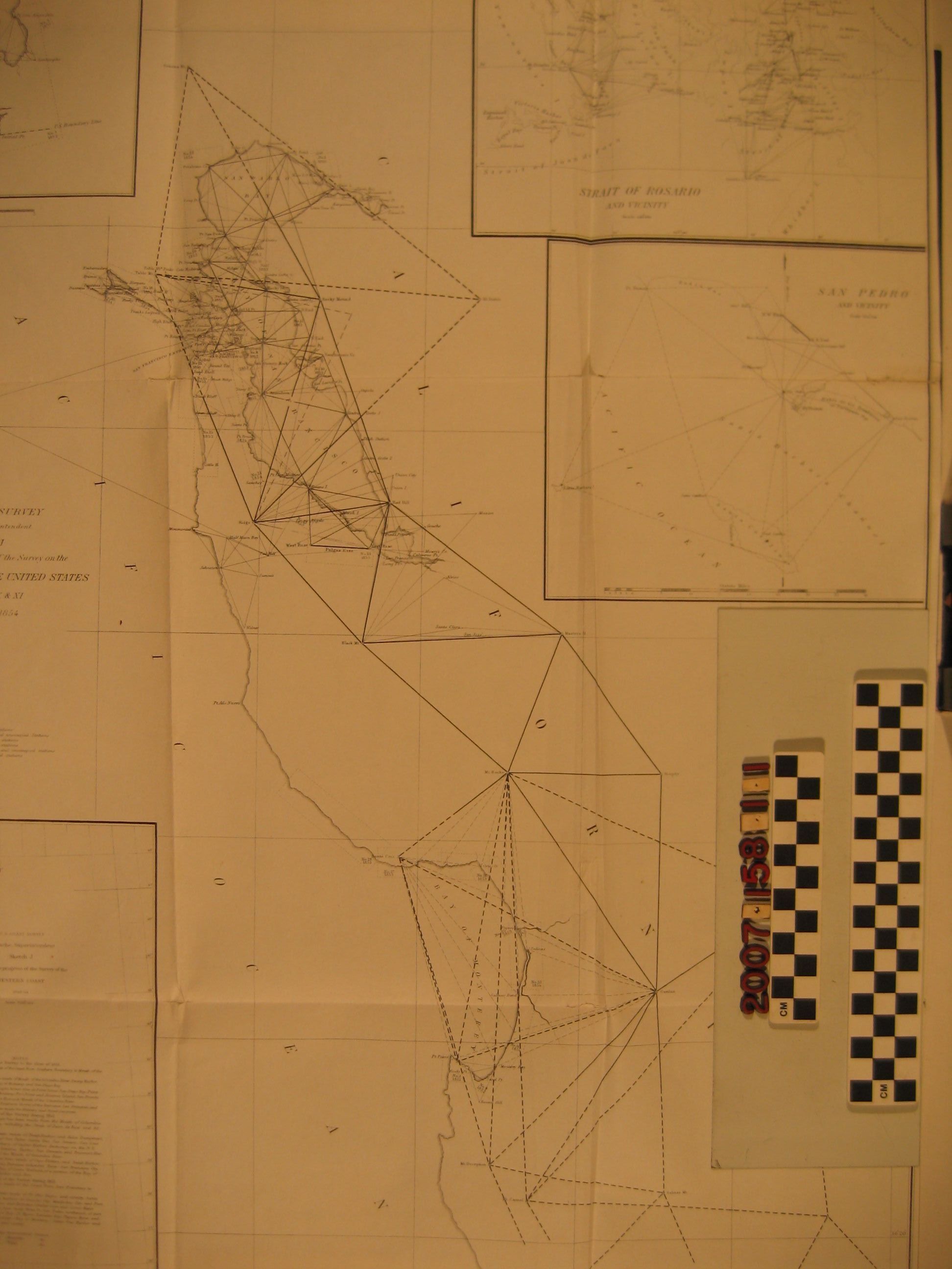
"Sketch J Showing the Progress of the Survey on the Western Coast of the United States, Section X & XI From 1850 to 1854"Entry/Object ID
2007.158.1.1Description
"Sketch J Showing the Progress of the Survey on the Western Coast of the United States, Section X & XI From 1850 to 1854," U. S. Coast Survey, 1854. The item has a main section covering the area from south of Monterey to the San Pablo Bay area near San Francisco, showing triangulations and recording when particular surveys were done. There are also five insets, one showing the entire western coast from Mexico to Canada as surveyed from 1849 to 1854, giving dates when site-specific surveys were done, and containing progress notes by year from 1851 to 1854. Others are for the Columbia River, Strait of Rosario, San Diego Bay, and San Pedro and vicinity, all showing triangulations and dates of surveys. In the case of San Pedro, the work is from 1854 and includes a starting porint at "Ceritos", the Rancho Los Cerritos of Jonathan Temple. With edge tears and rubbing, original folds, taped repairs of fold tears, and some soiling, the overall condition is fair.Lexicon
LOC Thesaurus for Graphic Materials
AnchorageSearch Terms
United States Coast Survey, United States. Navy, Surveys--United States, Surveys--California--San Pedro Harbor, Harbors--Anchorage--California, Surveying--Plotting, Topographical drawing--California, Topographical surveying--California