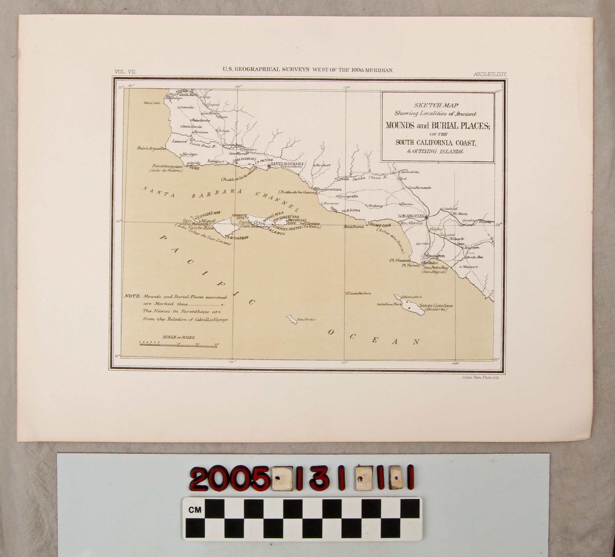
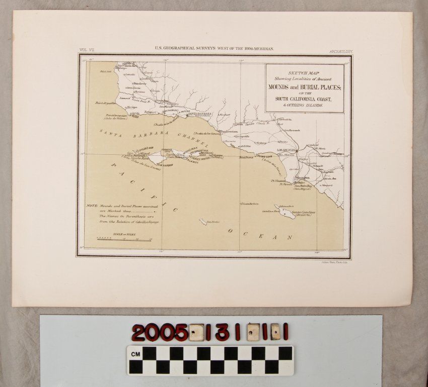
"SKETCH MAP SHOWING LOCALITIES OF ANCIENT MOUNDS AND BURIAL PLACES OF THE SOUTH CALIFORNIA COAST AND OUTLYING ISLANDS"
Entry/Object ID
2005.131.1.1
Description
"SKETCH MAP SHOWING LOCALITIES OF ANCIENT MOUNDS AND BURIAL PLACES OF THE SOUTH CALIFORNIA COAST AND OUTLYING ISLANDS," United States Geological Surveys, 1879.
Map shows Santa Maria to Orange County, Pomona to the Channel Islands with crosses indicating locations of burial places. Print is in good condition with minor water tide mark on right edge.
Lexicon
Search Terms
United States Geological Surveys, Indians of North America--Funeral customs and rites