Name/Title
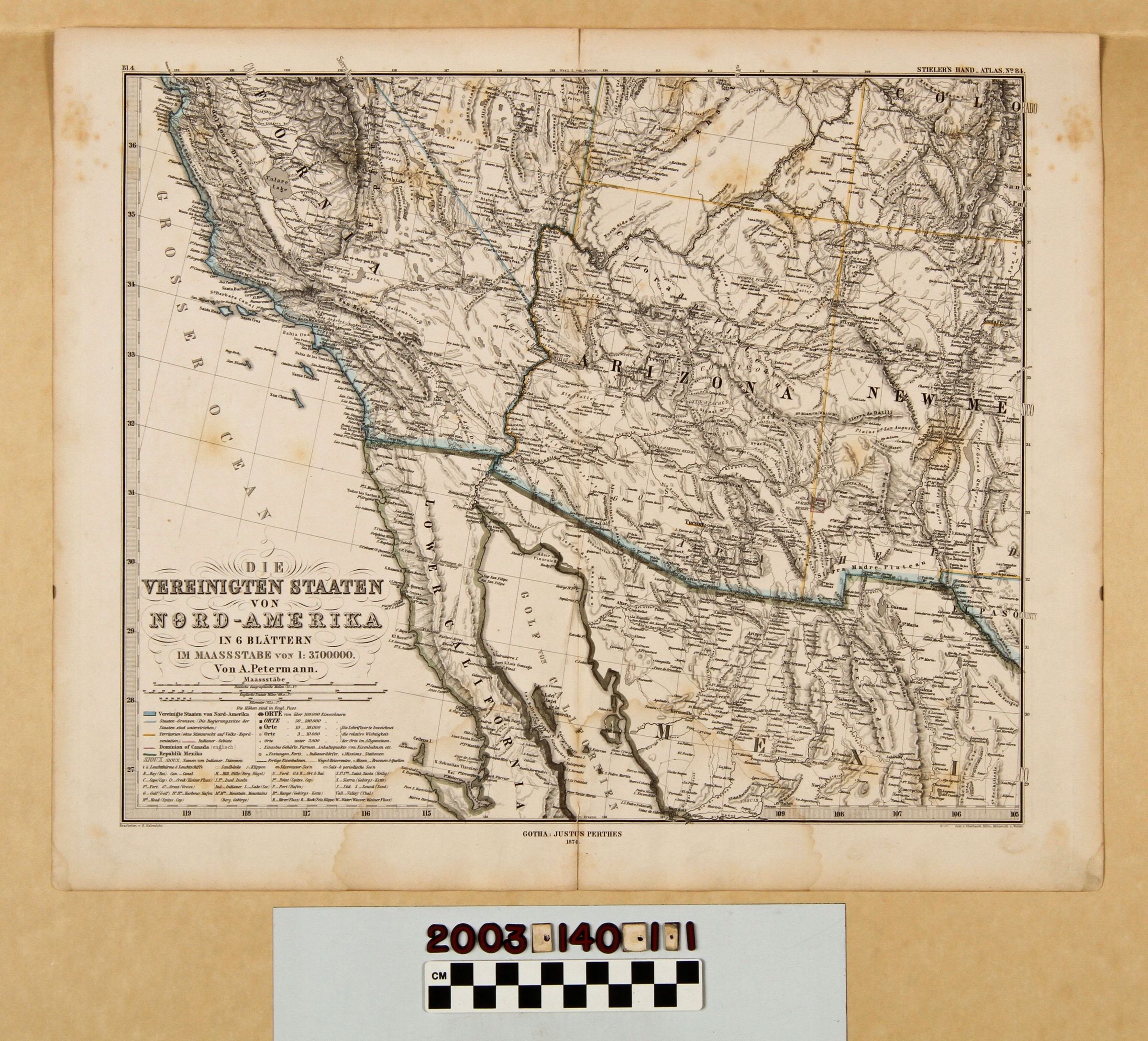
STIELER HAND ATLAS MAP OF SOUTHERN CALIFORNIA AND SURROUNDING AREAS, 1874Entry/Object ID
2003.140.1.1Description
STIELER HAND ATLAS MAP OF SOUTHERN CALIFORNIA AND SURROUNDING AREAS, 1874
Color: Black; Blue; White; Yellow
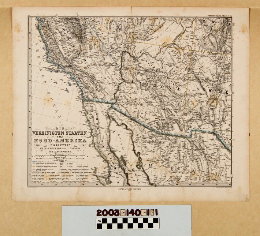
A map of Southern California and surrounding areas of the western United States and northwestern Mexico, 1874. The item, which was published in Adolf Stieler's "Hand Atlas" in Germany, has the title, the mapmaker, A. Petermann's name, and scale and legend information at the lower left. The publisher's name, Justus Parthes, city of Gothenborg, and the date at the center. Degrees of latitude and longitude are on the margins as is the note at the top right that this was map 84 of the atlas. The view is of southern California from Monterey Bay and points east southward with the furthest east being Santa Fe, and parts of Colorado and the El Paso area of Texas. The furthest north also includes parts of Nevada and Utah, while to the south it runs to the lower half of Baja California, Guaymas and Concepcion in Mexico. With original folds, creases, soiling, yellowing, foxing, some moisture damage at the bottom center, stains, and tears at the bottom and top of the center vertical fold, the condition is fair.Lexicon
Search Terms
Two-dimensional, Maps, Justus Perthes [publisher], California, Southern--Description and travel