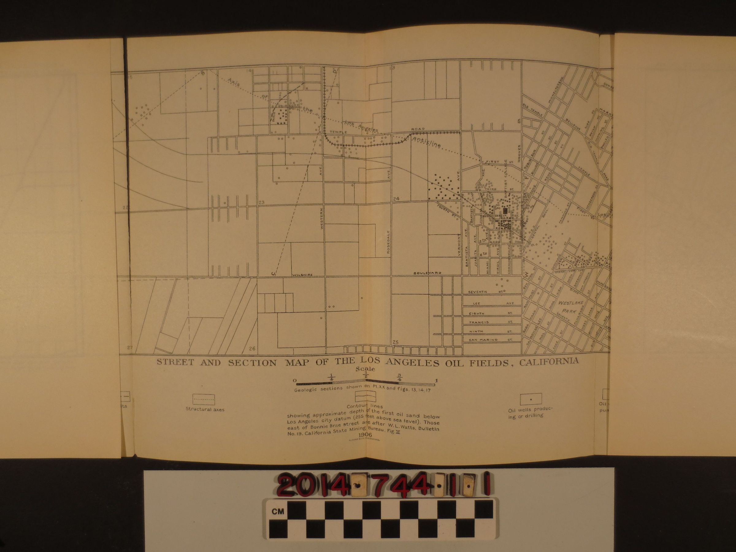
"Street and section map of the Los Angeles oil fields, California"
Entry/Object ID
2014.744.1.1
Description
"Street and section map of the Los Angeles oil fields, California" U.S. Geological Survey, Bulletin 309, Plate XIX, 1906. A map compiled from city engineer's map and county records by Ralph Arnold, 1905. Well data compiled by W.L.Walker from locations by Charles A. Blackmar and other sources. Streets and landmarks featured on the map include La Brea Road, Fourth Street, Wilshire Boulevard, Hoover Street, Los Angeles River, Westlake Park and Echo Park. The map is folded in six vertical sections. The first two sections are mostly detached from the rest at the fold, overall in good condition.