Name/Title
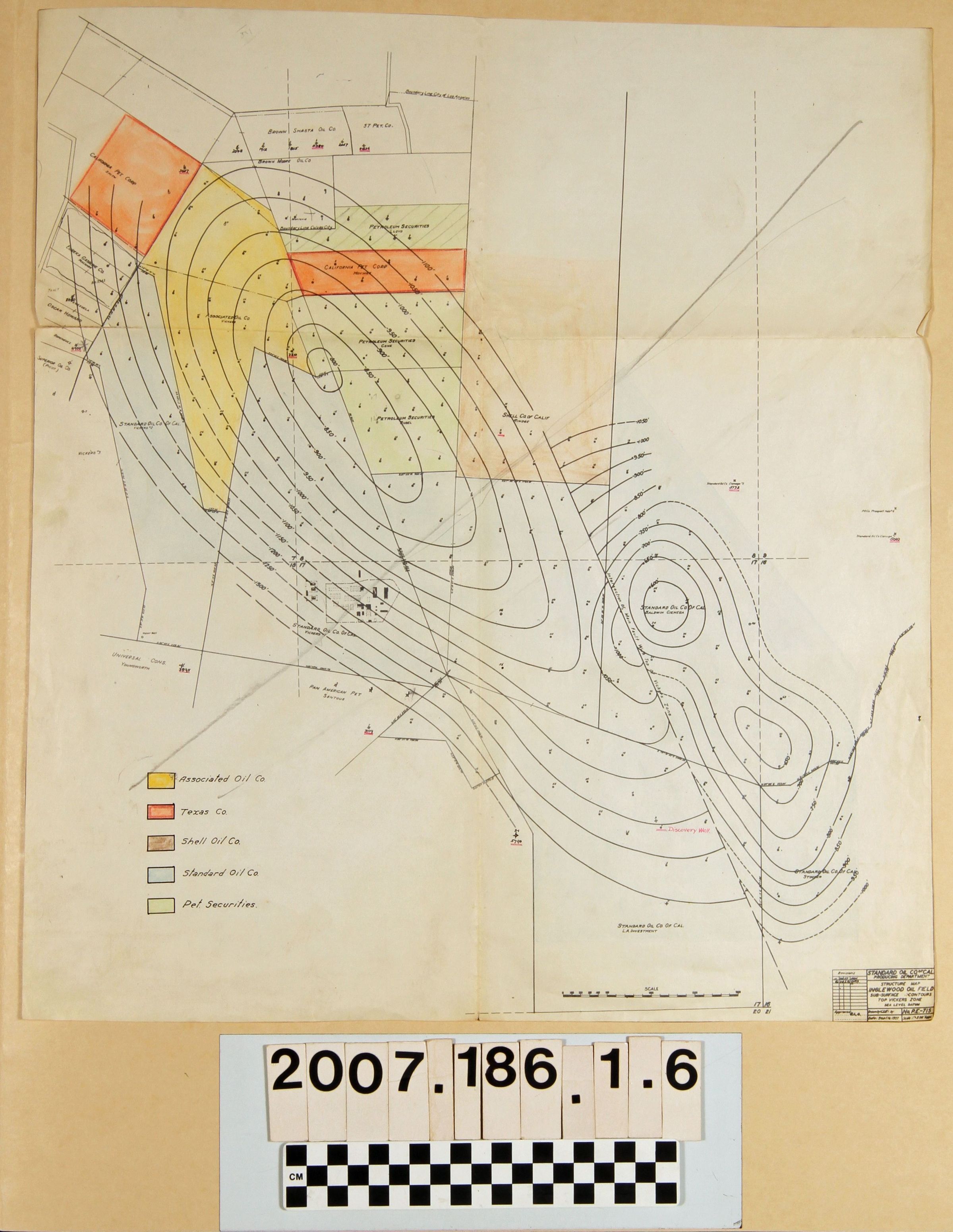
"Structure Map, Inglewood Oil Field"Entry/Object ID
2007.186.1.6Description
"Structure Map, Inglewood Oil Field," Standard Oil Company of California, 16 June 1927 with revisions to 20 June 1928. The item showsthe grographical contours of fields in and around the Baldwin Hills area, as well as tracts with the names of landowners and leasing oil companies, including Standard. These are colored to represent five of the major leasing companies in the field with a legend at the lower left. Much of this land was part-owned in the 1870s by F. P. F. Temple and William Workman and lost to E. J. "Lucky" Baldwin, whose heirs still owned part of the land in the 1920s. With folds, heavy creasing, a tear at the left edge, and edge wear, the overall condition is fair.Lexicon
Search Terms
Standard Oil Company of California, Oil fields--California--Los Angeles County, Oil wells--California--Los Angeles County, Petroleum prospecting--California--Los Angeles County