Name/Title
Survey PlansEntry/Object ID
2009.16.42.4Description
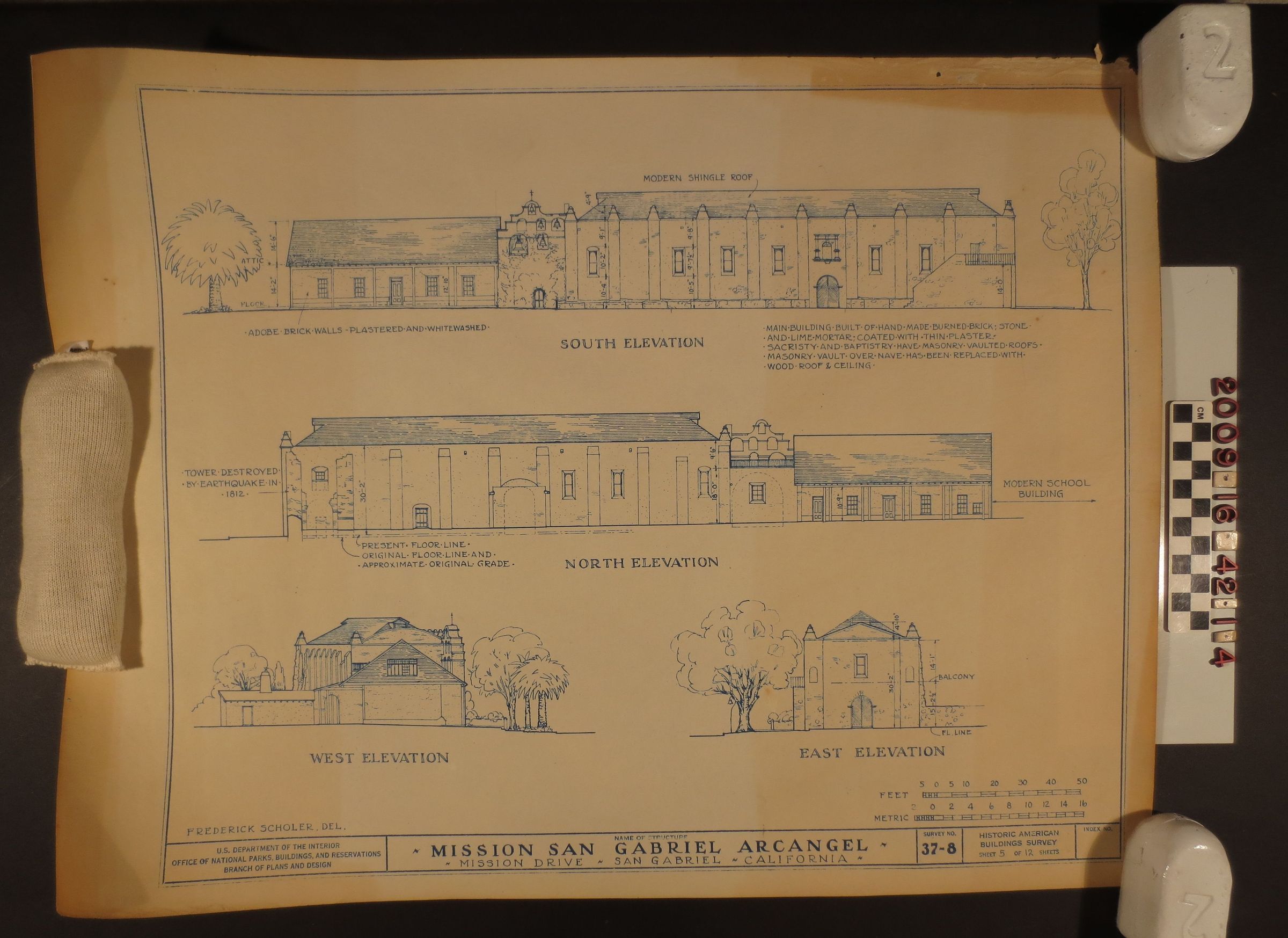
Exterior plan, ca. 1830s -1970s. The plan is part of the"Historic American Building Survey sheet 5 of 12 sheets/ Survey No. 37 - 8." The plan shows details of the exterior views of the Mission San Gabriel, specifically the west, east, north, and south elevations. A name of the possible surveyor is located on the front side, bottom left corner, Frederick Scholer.Del. There is heavy acid burn to the right and left side, edging; possible pest damage to the upper right edge due to silver fish; moderate discoloration, yellowing over all; begining signs of foxing. It is in fair condition.