Name/Title
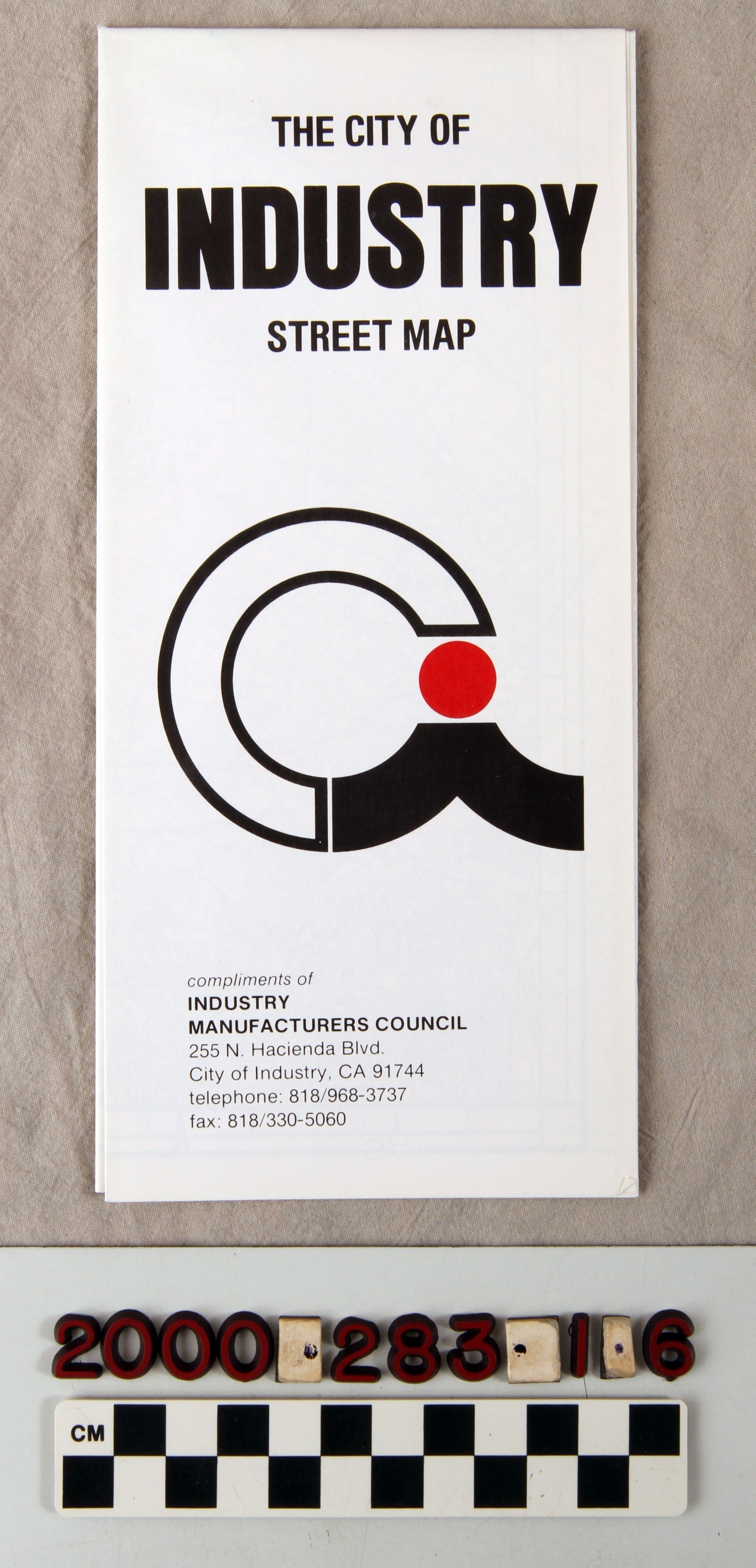
"THE CITY OF INDUSTRY STREET MAP"Entry/Object ID
2000.283.1.6Description
Color: Black; Red; White
"The City of Industry Street Map," issued by the Industry Manufacturers Council, ca. 1990s. The object is of white paper with the title at the top of the front. At the center is the red and black logo of the city, and at the bottom is the name and address of the Industry Manufacturers Council. All of the lettering is in black. Listed on the back are telephone numbers for general city services. Inside are an introduction to the city, its goverment, vital statistics, and growth information. Also inside are a listing of all city streets and the map, bordered clockwise by El Monte, San Dimas, Diamond Bar, and Whittier. The map was found inside a folder which is item .1, along with a user permit application which is .2; a Homestead Museum brochure that is .3; a representatives brocure that is .4; a new business guide that is .5; a letter from mayor Dave Winn that is .7; a general information sheet that is .8; a general directory that is .9; a city statistics sheet that is .10; and a business card for the city's administrative planning aide, Mary C. Rescoe, that is .11. The object is in good condition with no signs of wear or damage.Lexicon
LOC Thesaurus for Graphic Materials
Municipal governmentSearch Terms
Three-dimensional, Maps, Industry Manufacturers Council, Maps--City of Industry (Calif.), Streets--City of Industry (Calif.), City planning--City of Industry (Calif.), Industrial management