Name/Title
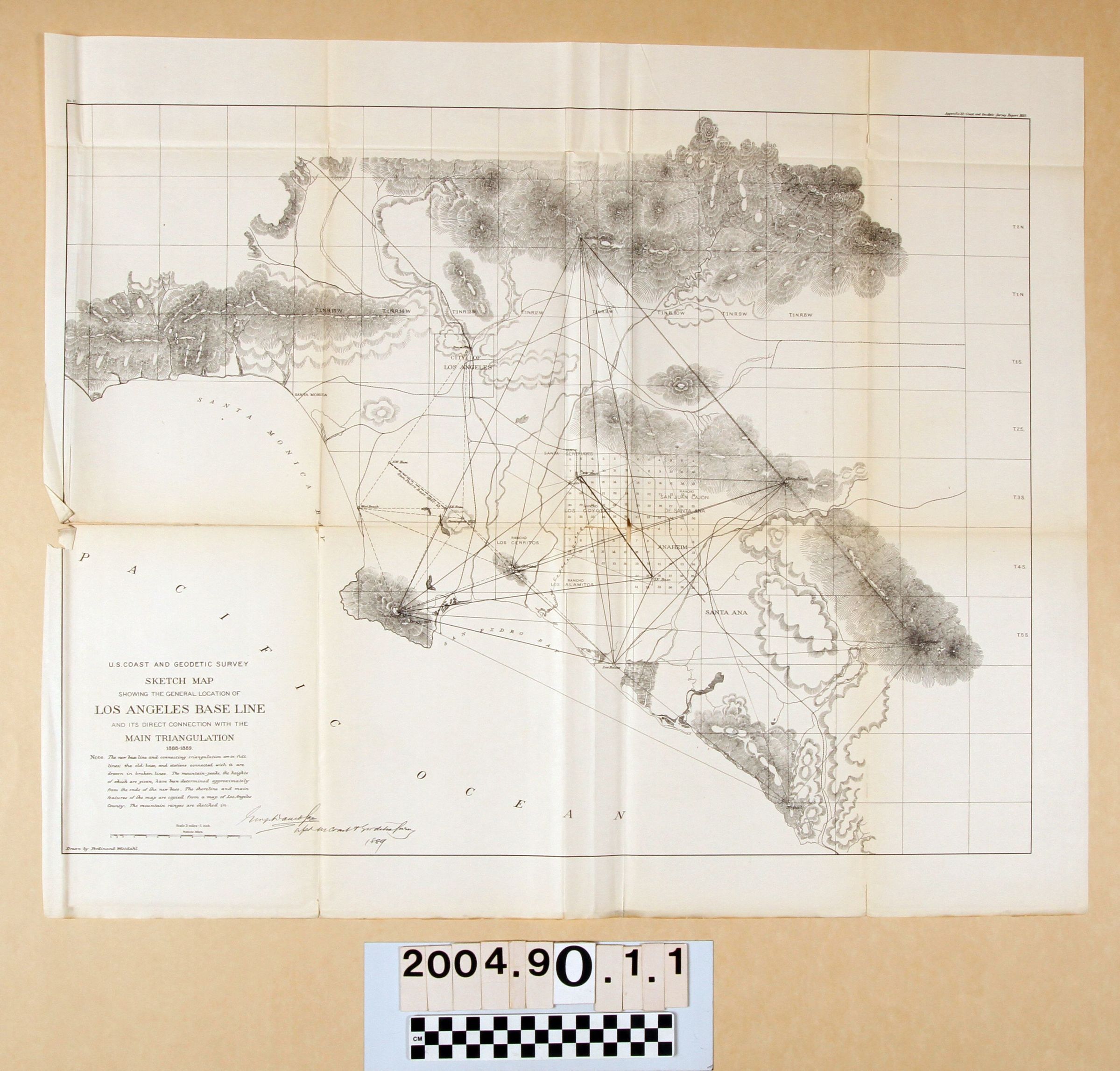
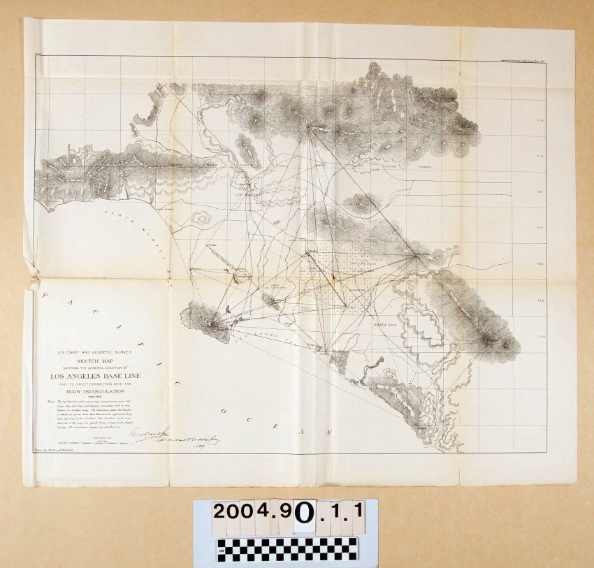
"U. S. COAST AND GEODETIC SURVEY SKETCH MAP SHOWING THE GENERAL LOCATION OF LOS ANGELES BASE LINE AND ITS DIRECT CONNECTION WITH THE MAIN TRIANEntry/Object ID
2004.90.1.1Description
"U. S. COAST AND GEODETIC SURVEY SKETCH MAP SHOWING THE GENERAL LOCATION OF LOS ANGELES BASE LINE AND ITS DIRECT CONNECTION WITH THE MAIN TRIAN
Color: Black; White
"U. S. Coast and Geodetic Survey Sketch Map Showing the General Location of Los Angeles Base Line and its Direct Connection with the Main Triangulation, 1888-1889," comprising appendix ten of the survey report for 1889. The map, drawn by Ferdiand Westdahl, shows the new triangulation running from San Pedro Hill on the Palos Verdes peninsula at the southwest, to Santa Anita hill in the San Gabriel Mountains above Pasadena on the north to Santiago hill in the Santa Ana Mountains on the southeast and to a point called Niguel near present Laguna Beach on the south. Other stations are at San Juan Hill in the Chino Hills, the Las Bolsas area of present Huntington Beach, Los Cerritos in today's Long Beach, and bases in present Santa Ana and Norwalk. In dotted lines is the 1852-53 triangulation conducted by the U. S. Coast Survey and comprising a much smaller area from downtown Los Angeles to Las Bolsas and San Pedro Hill, as well as a western point near present Redondo Beach and there are old stations as well. In the north Orange County area is a numbered grid that appears to be subdivisions of the larger township lines provided for in the general region. There are also rivers and creeks, railroad lines, the original city limits of Los Angeles, town or township names, hill and mountain ranges, and other delimiters of natural features. With brittleness; light creases; yellowing; minor soiling; flaking at the tears; original folds; and many tears especially at folds, some of which are significant, the general condition is poor.Lexicon
Nomenclature 4.0
Nomenclature Secondary Object Term
MapNomenclature Primary Object Term
CartographNomenclature Sub-Class
Graphic DocumentsNomenclature Class
Documentary ObjectsNomenclature Category
Category 08: Communication ObjectsSearch Terms
Two-dimensional, Map, Surveys--California, Southern, Geological surveys--California, Southern, Surveys--Plotting