Name/Title
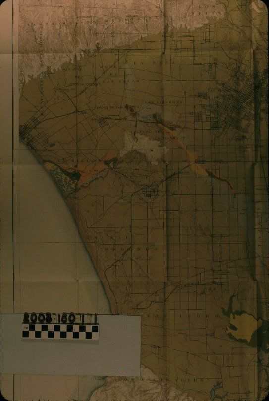
U. S. D. A. SOILS BUREAU ALKALI MAP OF THE LOS ANGELES AREA, 1903Entry/Object ID
2003.150.1.1Description
U. S. D. A. SOILS BUREAU ALKALI MAP OF THE LOS ANGELES AREA, 1903
Color: Black; Blue; Brown; Orange; White; Yellow
A U. S. D. A. Bureau of Soils alkali map of the Los Angeles area, 1903. The item shows an area ranging from the Santa Monica Mountains and Pacific Ocean on the west to Monrovia, Whittier, and Westminster on the east, and from Pasadena and Glendale on the north to the coastal areas along Palos Verdes, Long Beach, and near Huntington Beach on the south. A legend at the right is color-coded to areas on the map showing levels of alkali in the soil ranging from less than .2 to over 3 percent. There are many natural features including mountains, hills, rivers, marshes, and canyons. Cities, towns, railraods, roads, and other human features are also noted, as are the boundaries of Spanish and Mexican-era ranchos. A scale of one inch per mile is at the bottom. With many folds, some of which have tears along them, general brittleness, minor yellowing, and a few stains on the back, the overall condition is fair.Lexicon
Search Terms
Two-dimensional, Maps, United States Department of Agriculture. Bureau of Soils, Agriculture--Maps--Los Angeles County (Calif.), Soils--Maps--Los Angeles County (Calif.), Soil mapping, Alkali