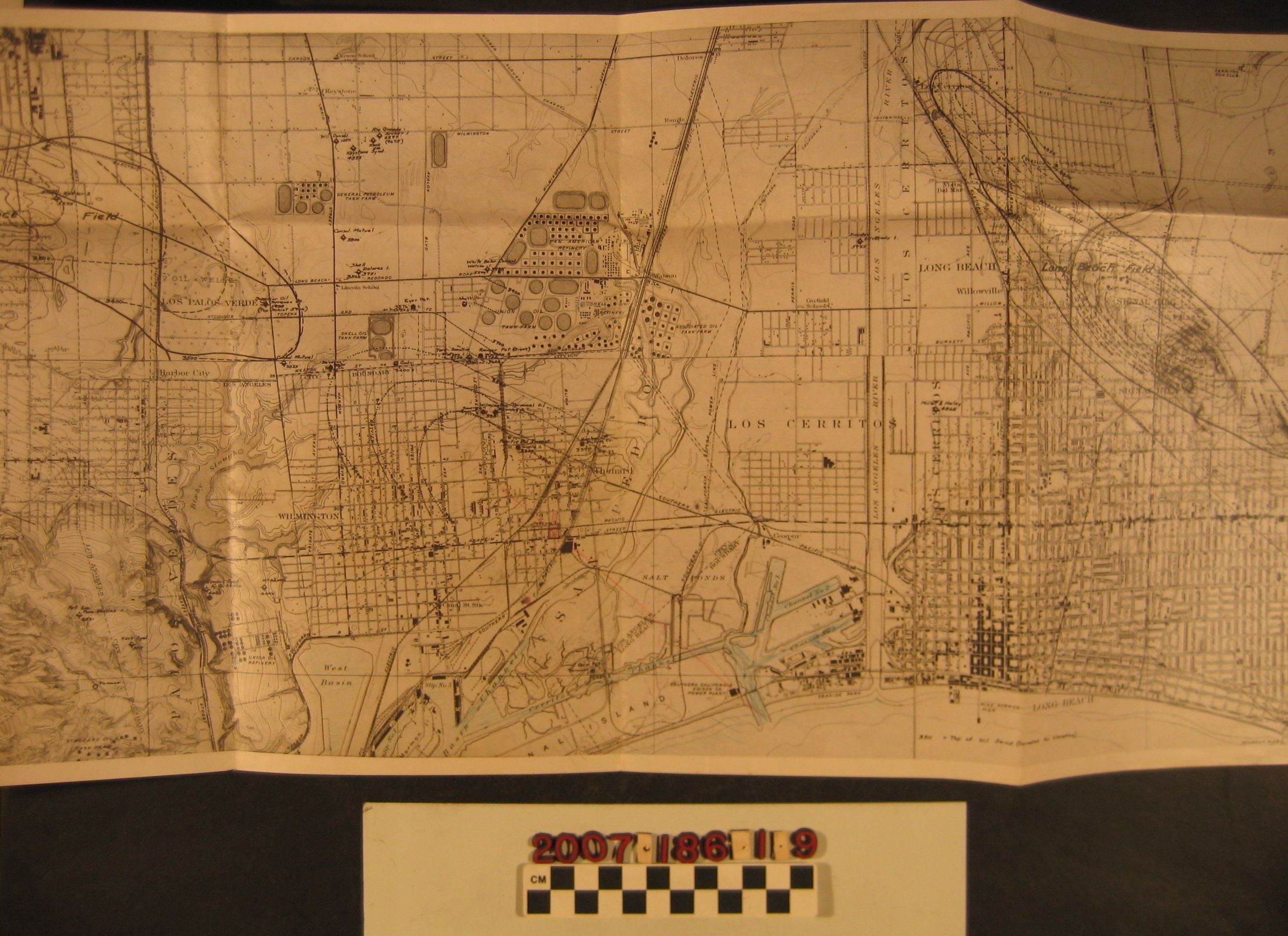
U. S. G. S. topographical map of Long Beach and Wilmington areas with oil industry-related inscriptions
Entry/Object ID
2007.186.1.9
Description
A U. S. G. S. topographical map of Long Beach and Wilmington areas with oil industry-related inscriptions, ca. 1920s. The map has the hallmarks of a U.S.G.S. map, but there are ink inscriptions for the Long Beach oil field at the right and part of the Torrance field at the left, as well as markings around the several oil refineries above Wilmington in the Carson area. Many of these markings show geographic contours, faults, and the like. Portions of the channels at Los Angeles Harbor are colored in blue pencil, as well. With flds and some soiling and browning, the condition is good.
Lexicon
Search Terms
Oil fields--California--Los Angeles County, Petroleum prospecting--California--Los Angeles