Name/Title
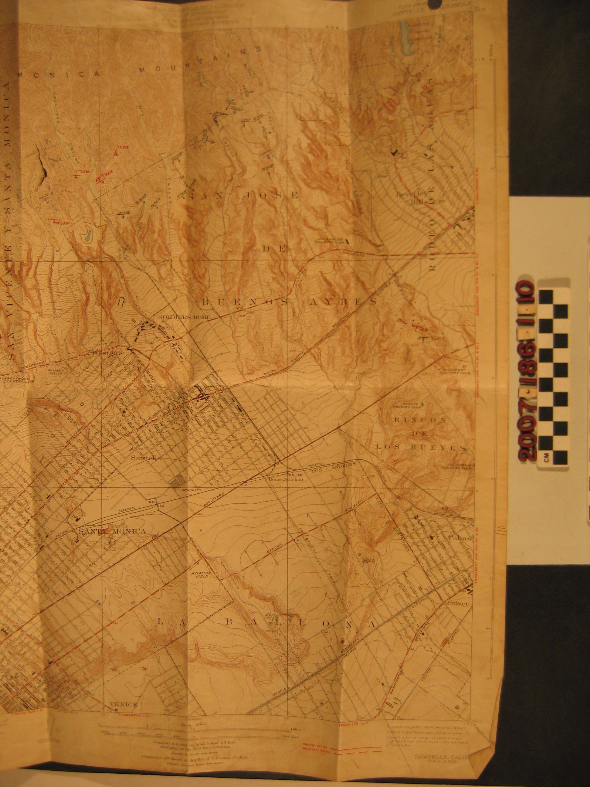
U. S. G. S. topographical map of Sawtelle, CaliforniaEntry/Object ID
2007.186.1.10Description
A U. S. G. S. topographical map of Sawtelle, Calif., edition of 1925 from a 1923 survey. The map covers the area from the Santa Monica Mountains on the north to Venice on the south and Santa Monica on the west to Beverly Hills on the east. Roads, streetcar and rail lines, locations of structures and densely-developed areas, community and city names, rancho names and boundaries, prominent sites (such as the Soldiers Home, now the Veterans Affairs complex) are noted. There are some pencil and ink inscriptions, including one for oil well locations at the right. With heavy soiling, folds, creases, edge and fold tears, torn hole punches at the top, and other wear, the condition is fair.Lexicon
Search Terms
Oil fields--California--Los Angeles County, Petroleum prospecting--California--Los Angeles, Los Angeles (Calif.)--Description and travel