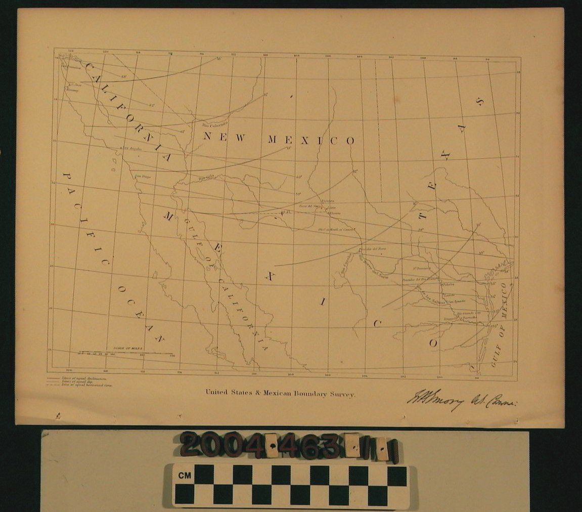
U.S.-MEXICAN BOUNDARY SURVEY, 1857.
Color: White, black
A United States and Mexican boundary survey map which shows specifically Southern California, New Mexico, portions of Texas and Mexico as well as portions of the Pacific Ocean, Gulf of Mexico and Gulf of California. There is a scale of miles and a key indicating lines of equal declination, equal dip and horizontal force. The map is in good condition with only minor damage apparent.
Lexicon
LOC Thesaurus for Graphic Materials
Surveying
Search Terms
Mexiccan-American Border Region, United States--Boundaries--Mexico