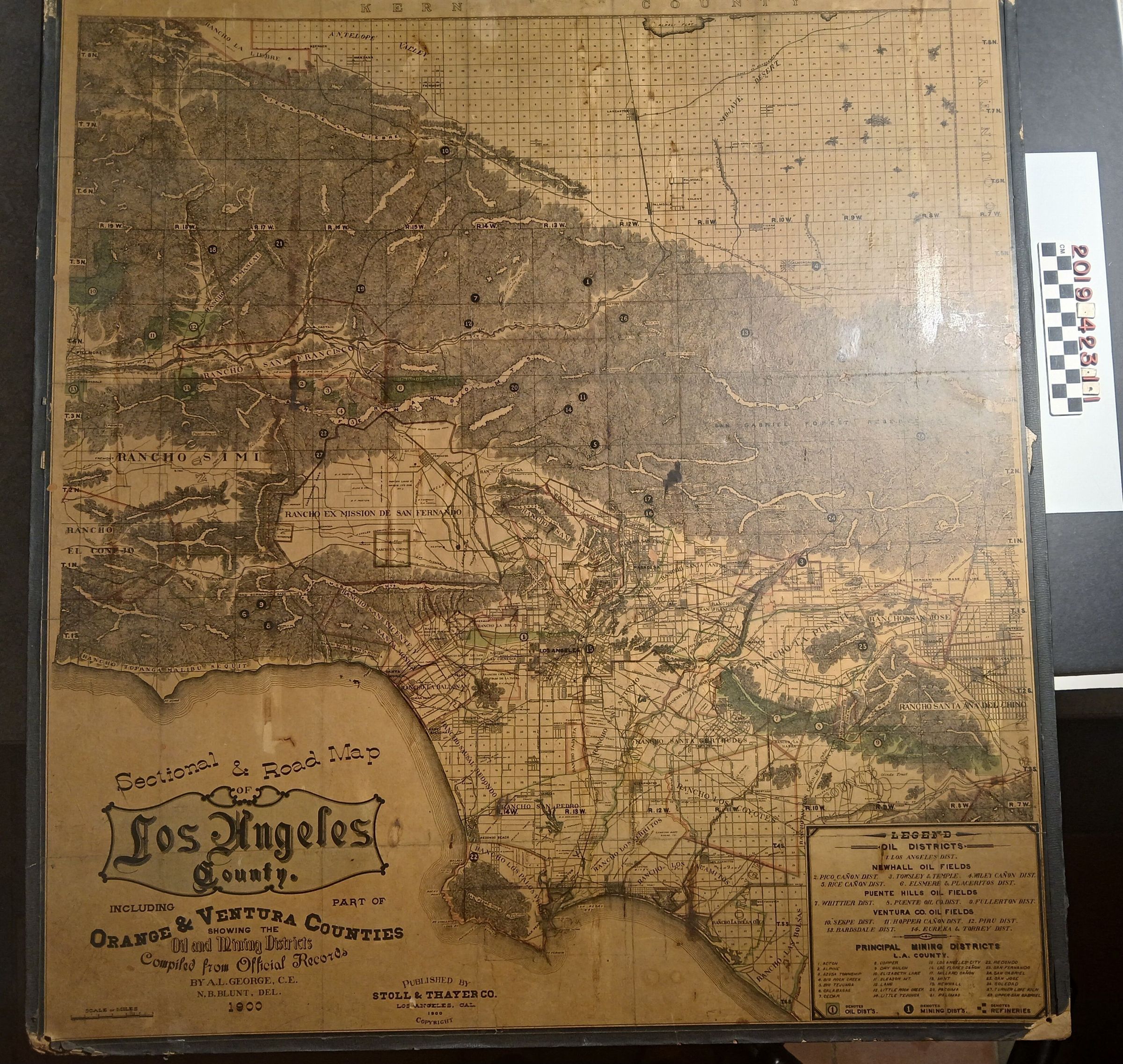
Wall Map, "Sectional and Road Map of Los Angeles County Including Part of Orange & Venture Counties Showing the Oil and Mining Districts." 1900.
Entry/Object ID
2019.423.1.1
Description
Wall Map, "Sectional and Road Map of Los Angeles County Including Part of Orange & Venture Counties Showing the Oil and Mining Districts" 1900. The very large wall map includes Rancho La Merced, Rancho La Puente and many other ranchos, starting from the Antelope Valley and Mohave Desert all the way down to San Pedro and Santa Monica down to Rancho Las Bolsas and much more. At the bottom right is a legend with information on the oil districts highlighted on the map. There is an abundance of topographical details and information. On the reverse at the top is a stamp of "Duncan Vail Co." The map has pin holes on all four corners from being placed on a wall. Other damage includes moderate browning of the map, gouges, heavy abrasions along the edges, moderate warping, it is in fair to poor condition.