Name/Title
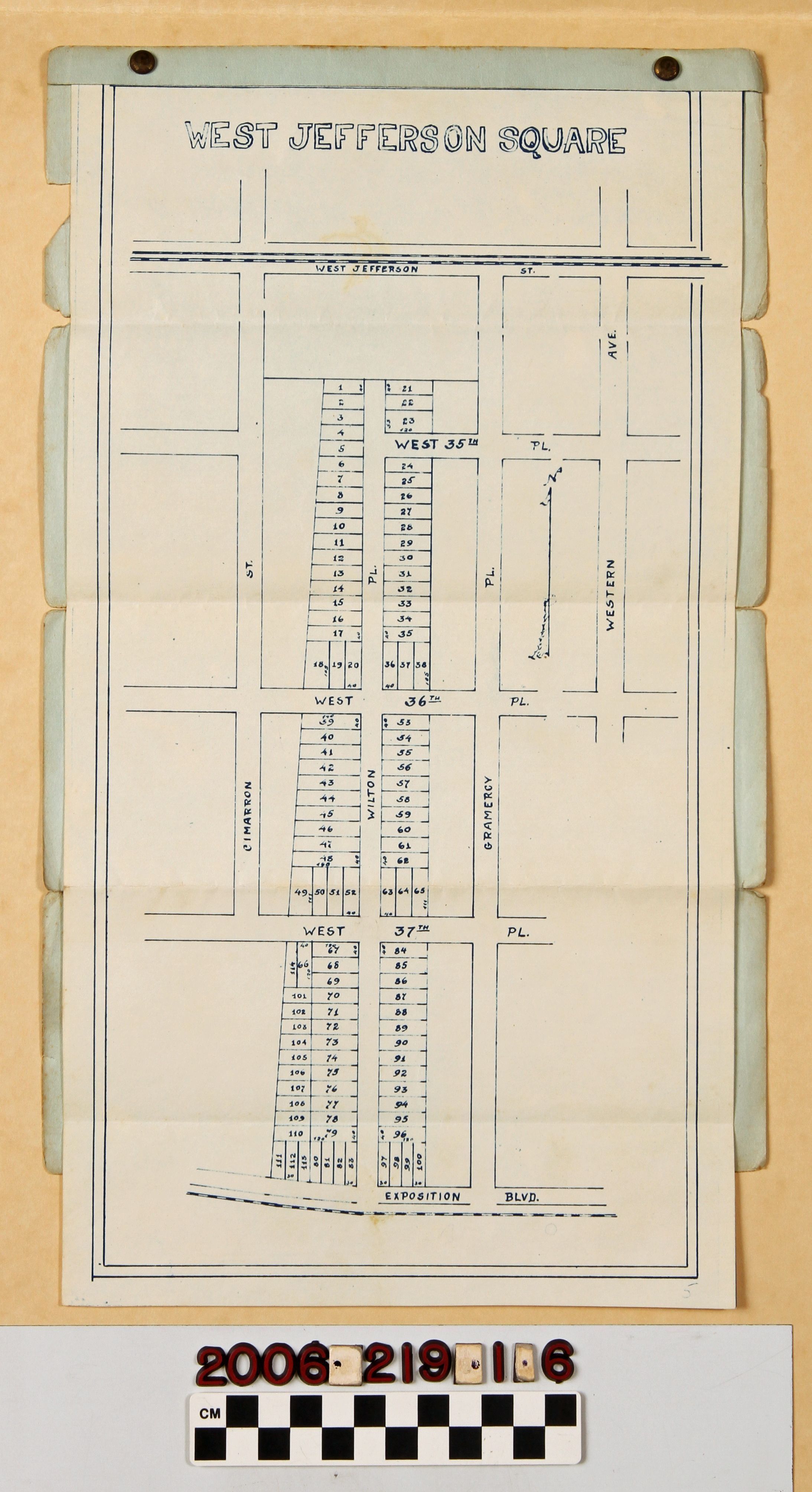
"West Jefferson Square" tract mapEntry/Object ID
2006.219.1.6Description
A tract map for "West Jefferson Square" subdivision, Los Angeles, 1920s. The map shows the 114 lots in the subdivision between Jefferson Street on the north, Exposition Boulevard on the south, Cimarron Street on the west, and Gramercy Place on the east with representative lots having measurements. The map is pinned onto a green portfolio folder. With folds, some soiling, and creases, whereas the portfolio is heavily soiled, foxed, has edge tears and stains, the overall condition is fair.Lexicon
Search Terms
Housing development--Los Angeles (Calif.), Neighborhoods--Los Angeles (Calif.), Real estate business--Los Angeles (Calif.)