Local Area Topography West Side Given Road North of Country Day School
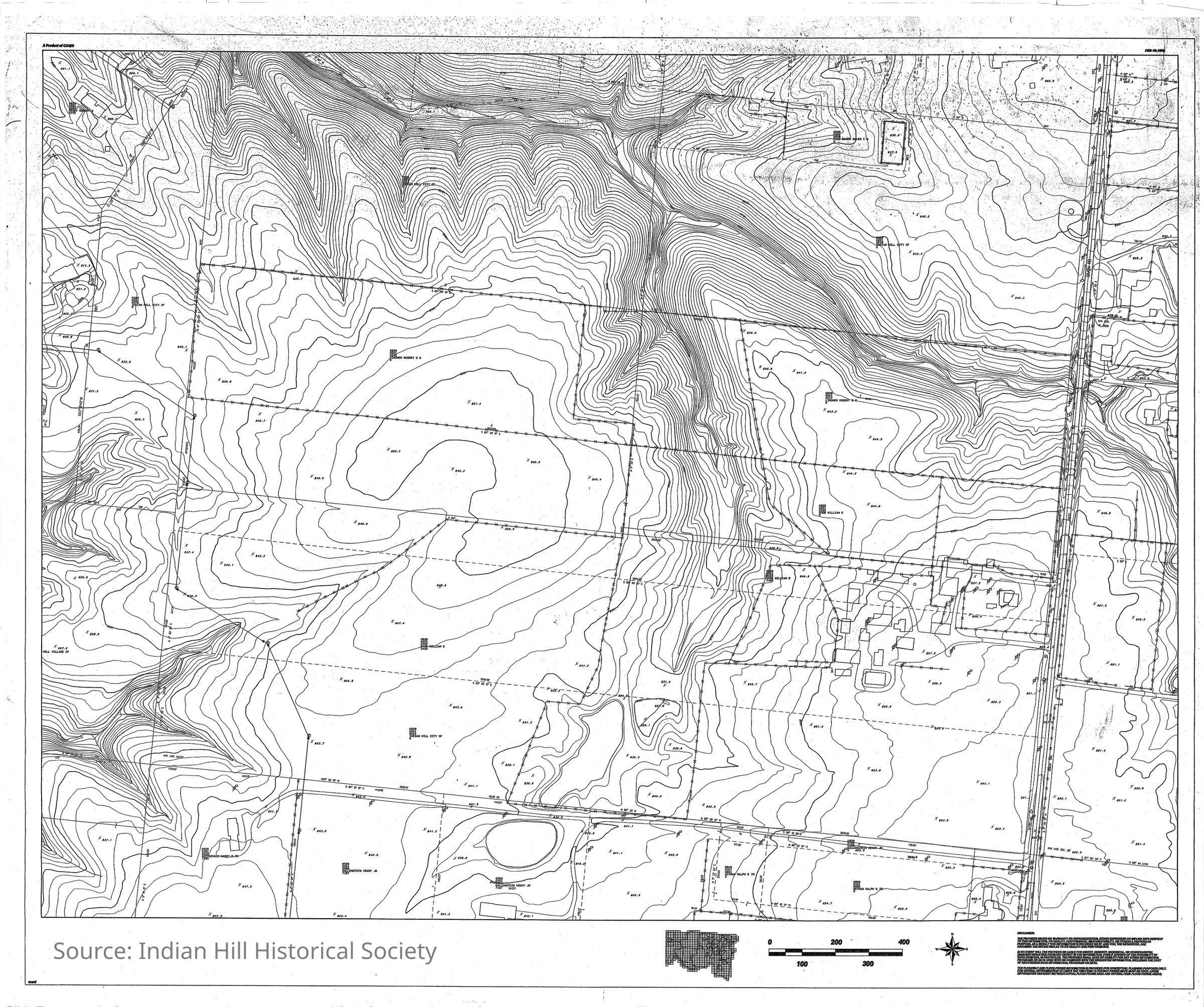
Local Area Topography Map of W Side Given just N of Country Day School
Description
Local Area Topography Map of W Side Given just N of Country Day School indicates landowner of record and elevation 2024-2025 was used to study elevation for purpose of deciding possible locations for a new IH Village water tower condition "Good"Collection
Indian Hill Historical Society - MapsCategory
Map
Indian Hill Historical Society - Maps