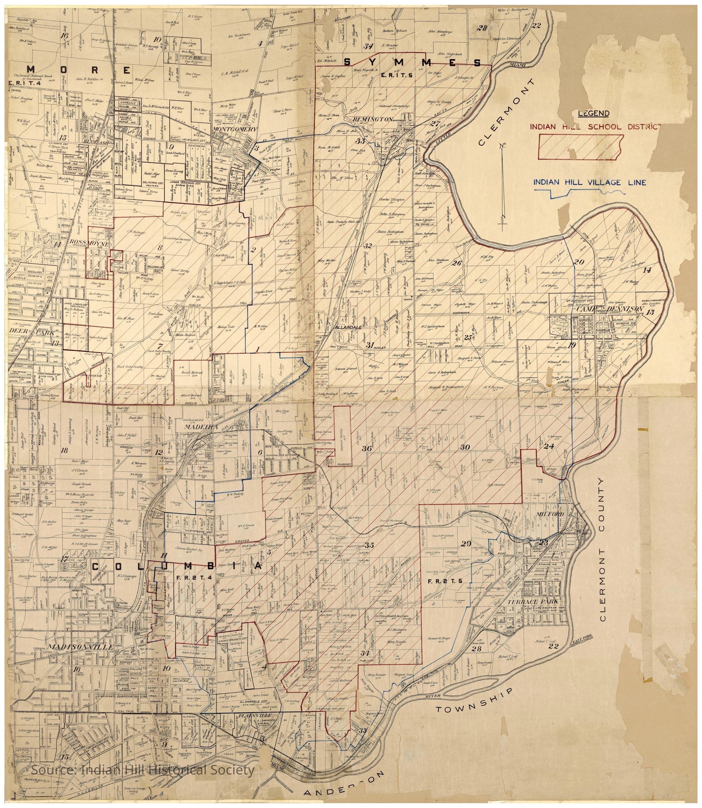
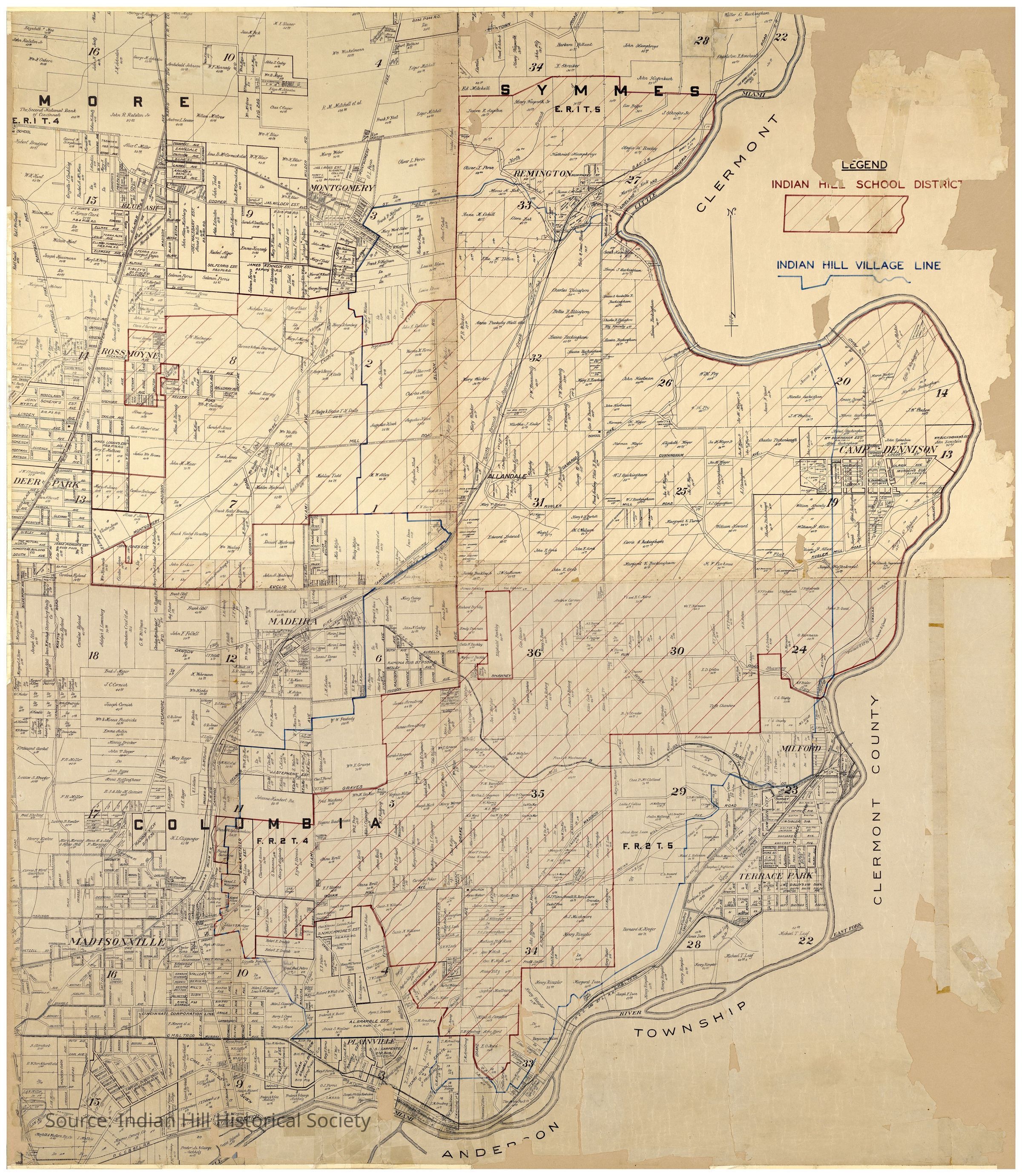
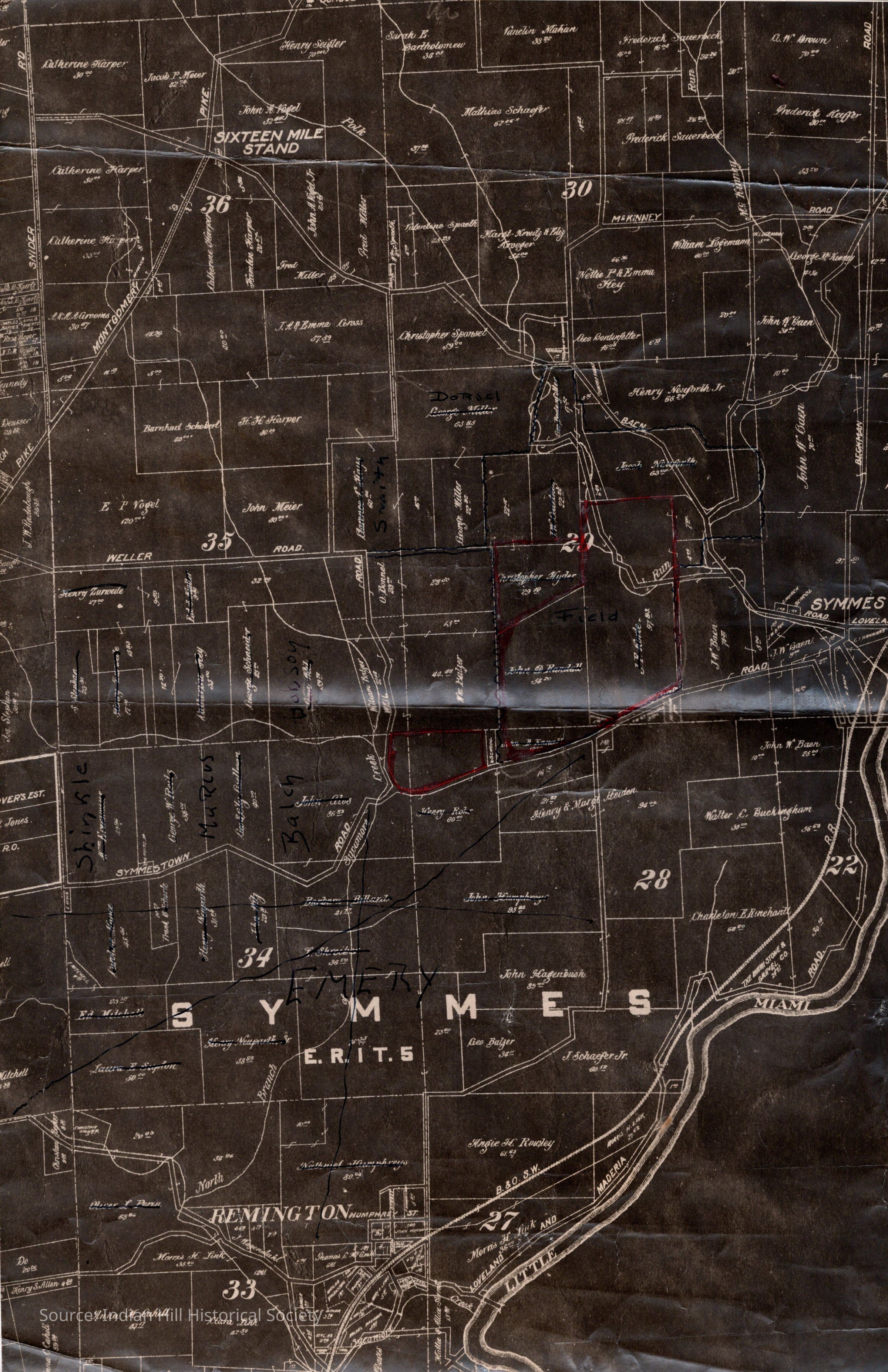
Map of Indian Hill Restored & Framed 9-2020
pdf image

![Document dating the map to 1912-1913 [circa 1914]; 9550 Shawnee Run ownership deed trail](https://d3f1jyudfg58oi.cloudfront.net/9143/image/542a6d10-b679-11f0-a3c1-2bdad13583a3-v1eWCWI.tn@2x.jpg)
Description
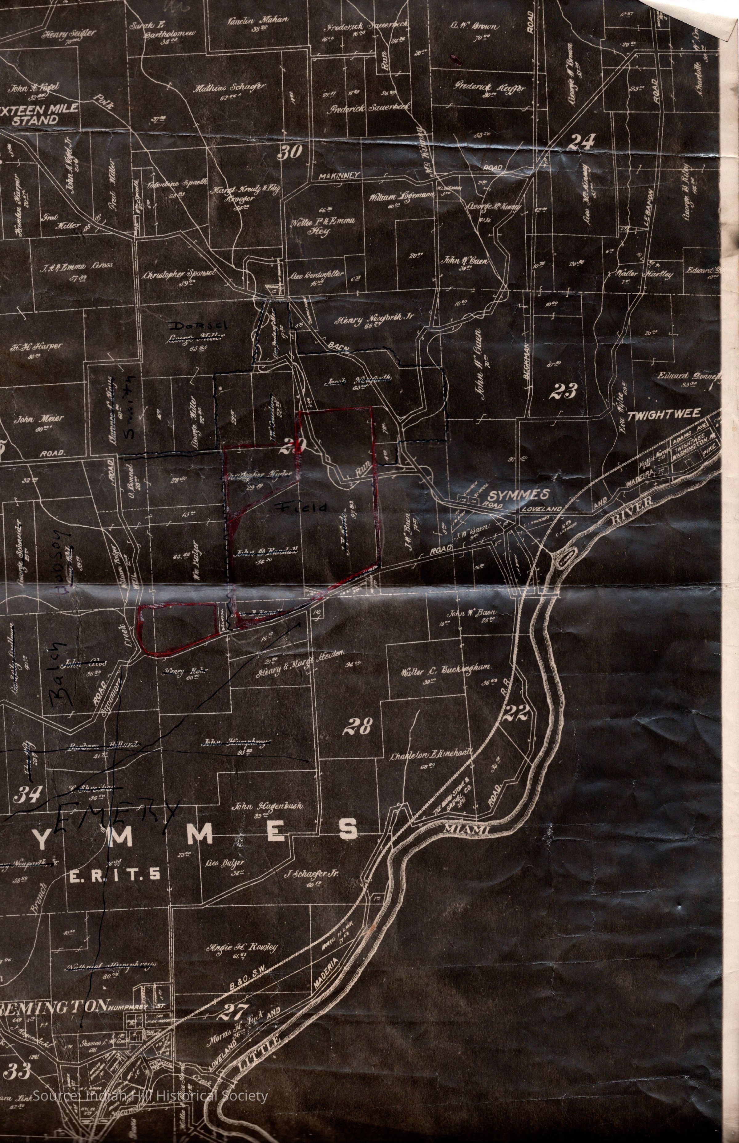
copy of Map of Indian Hill showing landowners; Symmes Township portion of the map is at the northern edge of Indian Hill -circa 1914 -School District Line drawn in red -Village of Indian Hill Line drawn in blue -the Symmes Township portion of the map is stored in Map Drawer #5 [Marked up with names Emery, Balch, Shinkle to show their land] -9-2020, See Object File#: 2025-0728-0269 for Framed Map/Restored by Old World Restorations; hanging in the parlor of Buckingham Lodge; scanned by Robin Imaging -10-31-2020, found Deed History in File of 9550 Shawnee Run Road, details when A. O. Johnson owned this land from 1912 to 1913Collection
Indian Hill Historical Society - MapsCategory
Map
Indian Hill Historical Society - Maps