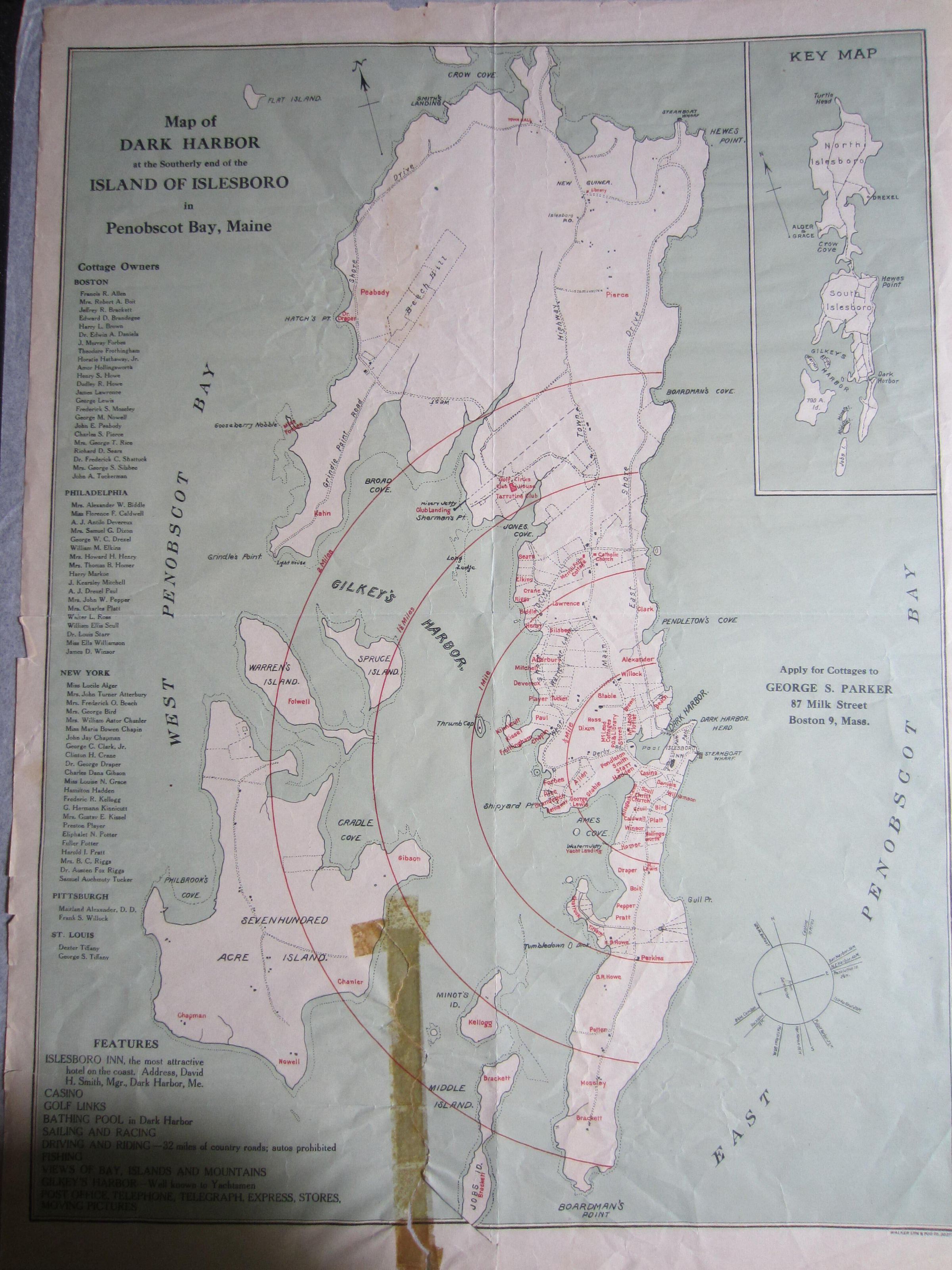
Name/Title
Map of Dark Harbor at the Southerly end of the Island of Islesboro to Penobscot Bay, MaineEntry/Object ID
1111.760.0019Description
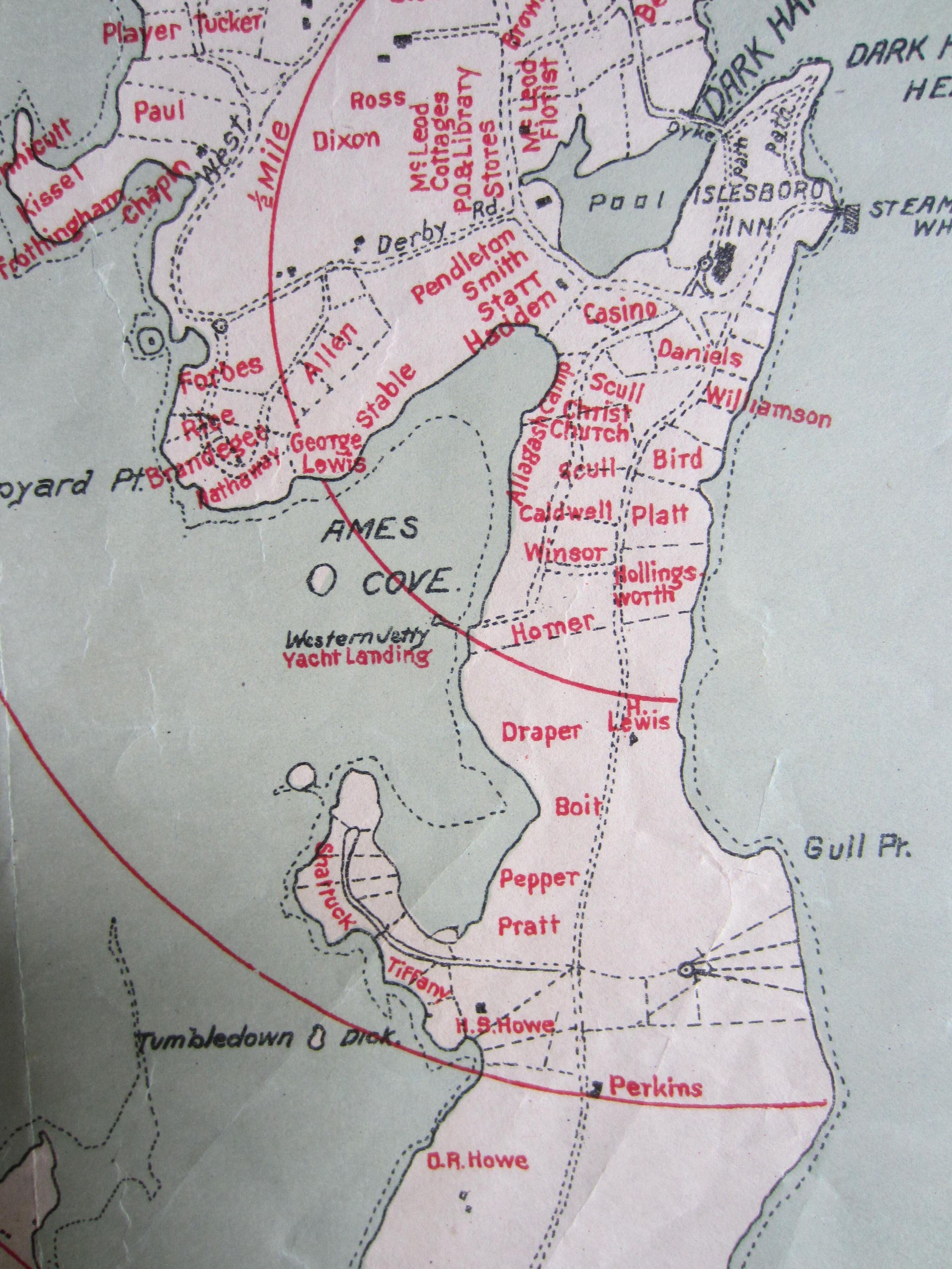
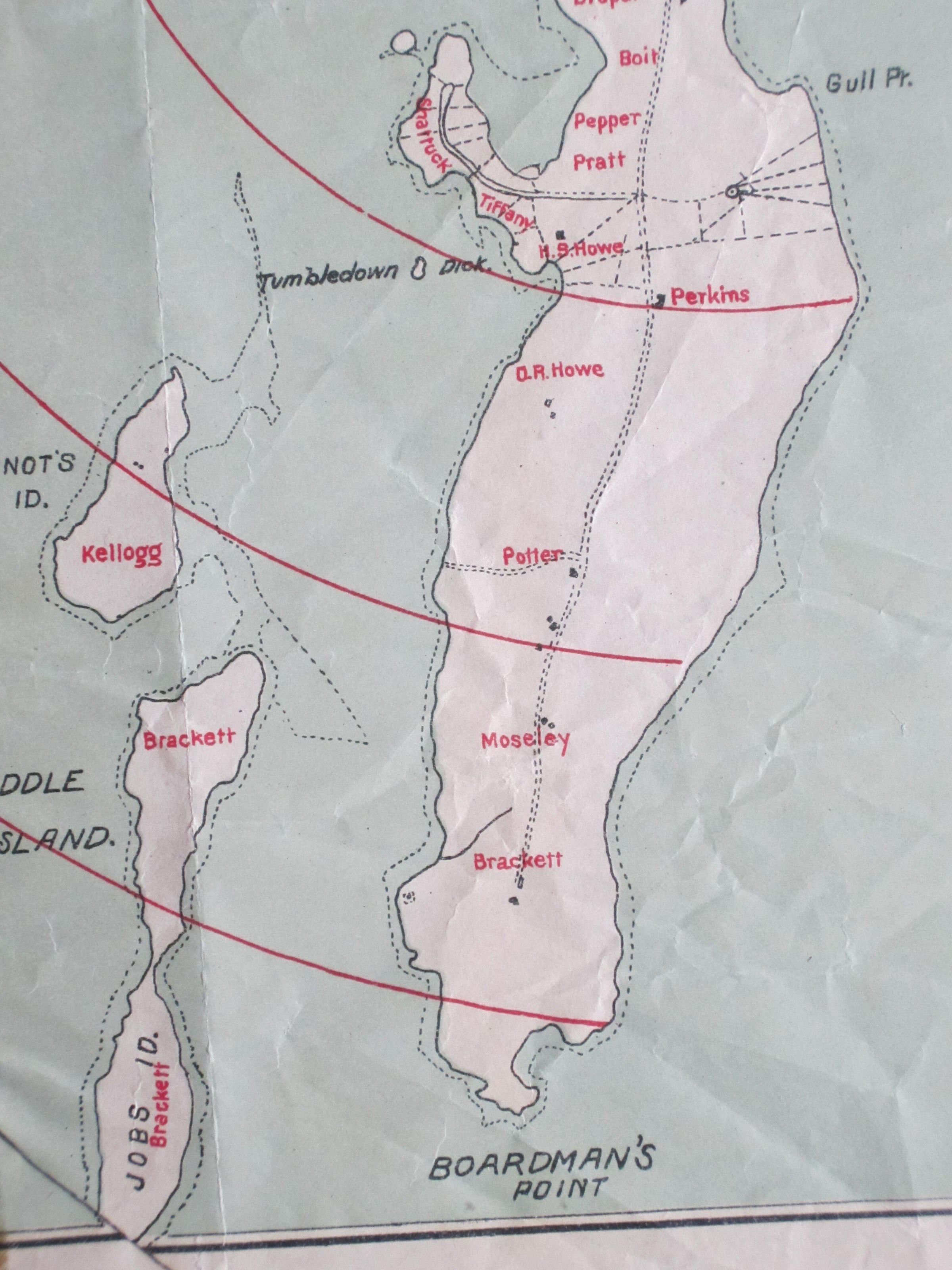
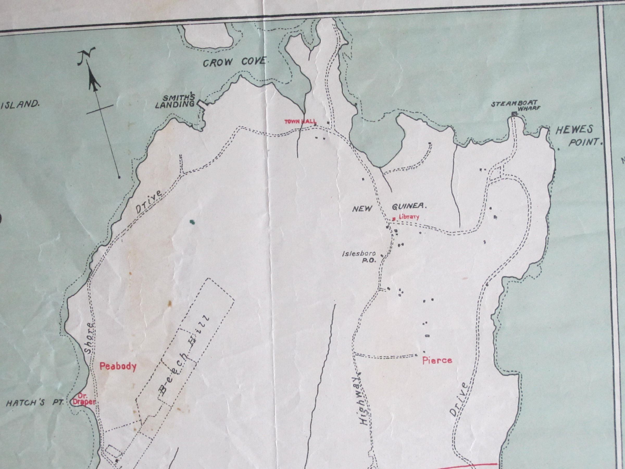
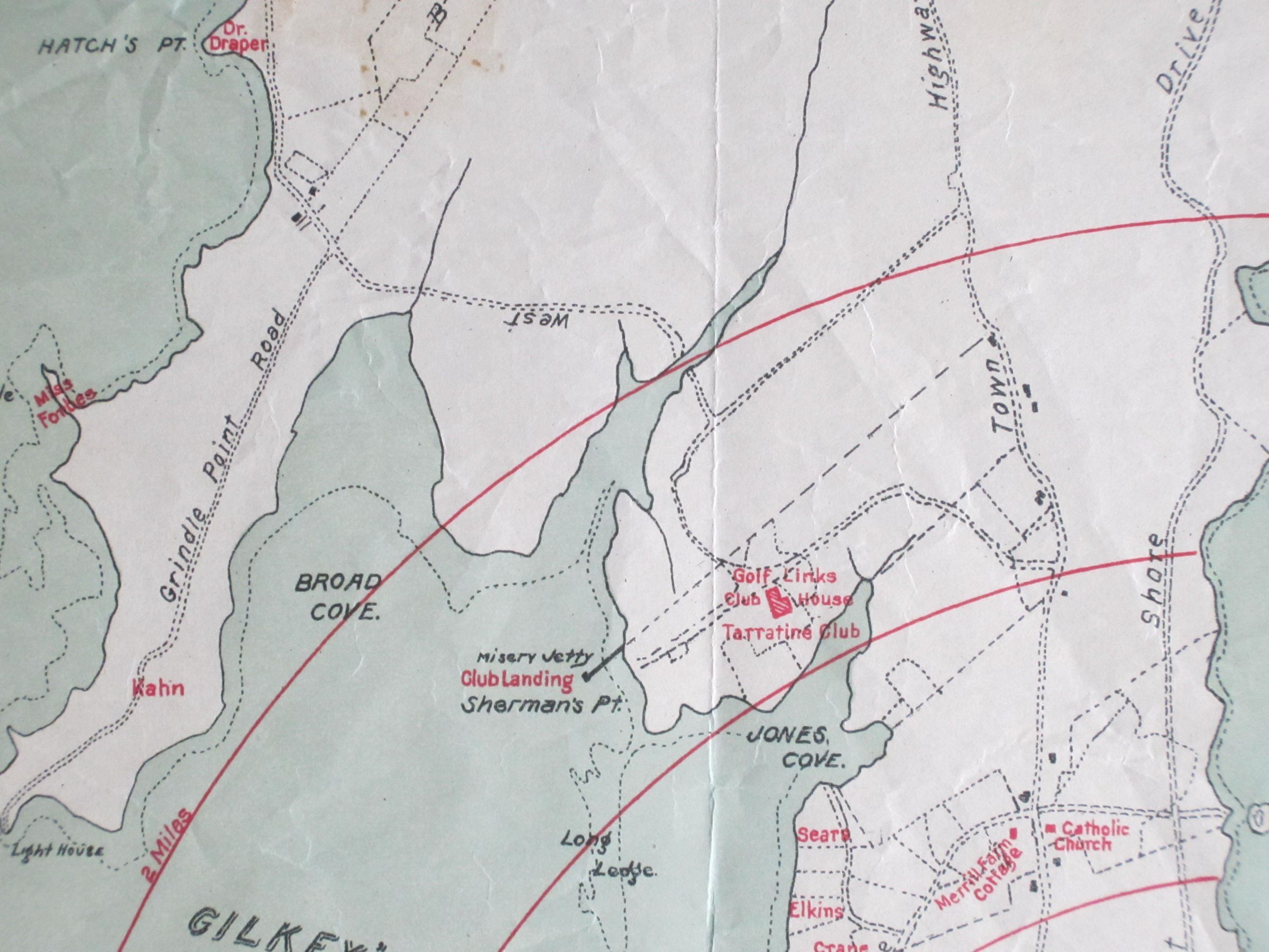
Map shows Islesboro from Crow Cove to Boardman's Point and islands.
Lists Dark Harbor cottage owners and features of Islesboro.
The following is printed on map:
"Apply for Cottages to
George S. Parker
87 Milk Street
Boston 9, Mass.
Map measures 15 1/4 inches x 20 1/2 inches.
There is a Key Map of the entire island in upper right-hand corner.
Written in red ink on the back of the map "Land Co. Map 1900 D.H."
An identical map in good condition is framed and at present is hanging on the south wall of the second floor hallway. It is accession no. 1111.789.