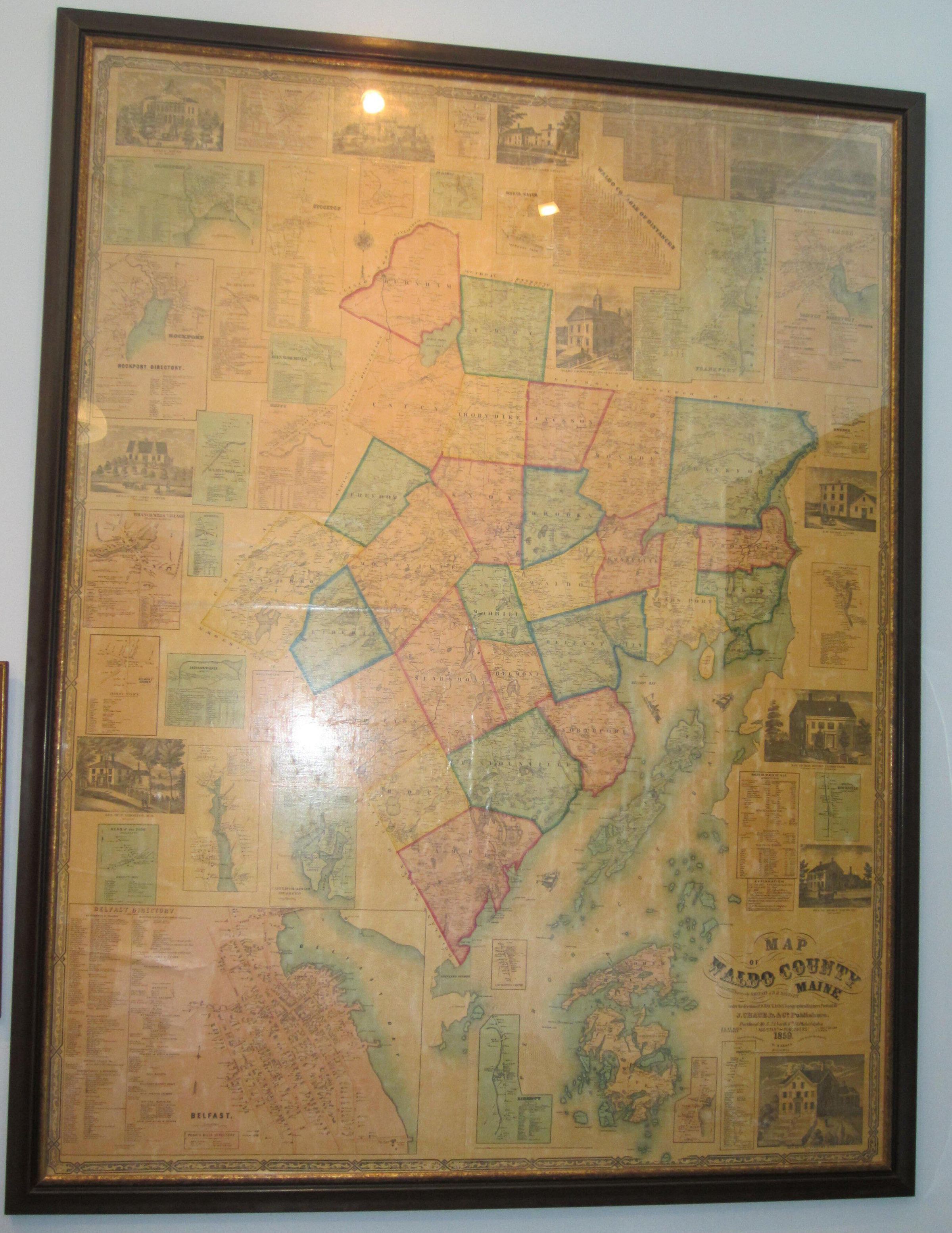
Name/Title
MapEntry/Object ID
2010.049.0001Scope and Content
1859 wall map of Waldo County c. 4x6' with hanging rod. A similar map dated 1850 is 1111.764.0001 which is being used to restore this copy. Bud Mitchell, donor, found this map in the attic of his home in Dark Harbor, Derby Road, and presumes the house and the map were property of Capt. Oliver Brown, the original owner/builder of the house. Another copy is in the Registry of Deeds office in Belfast, and yet another copy, framed, hangs in the foyer of a restaurant in Belfast.