Name/Title
MapEntry/Object ID
2014.020.001Scope and Content
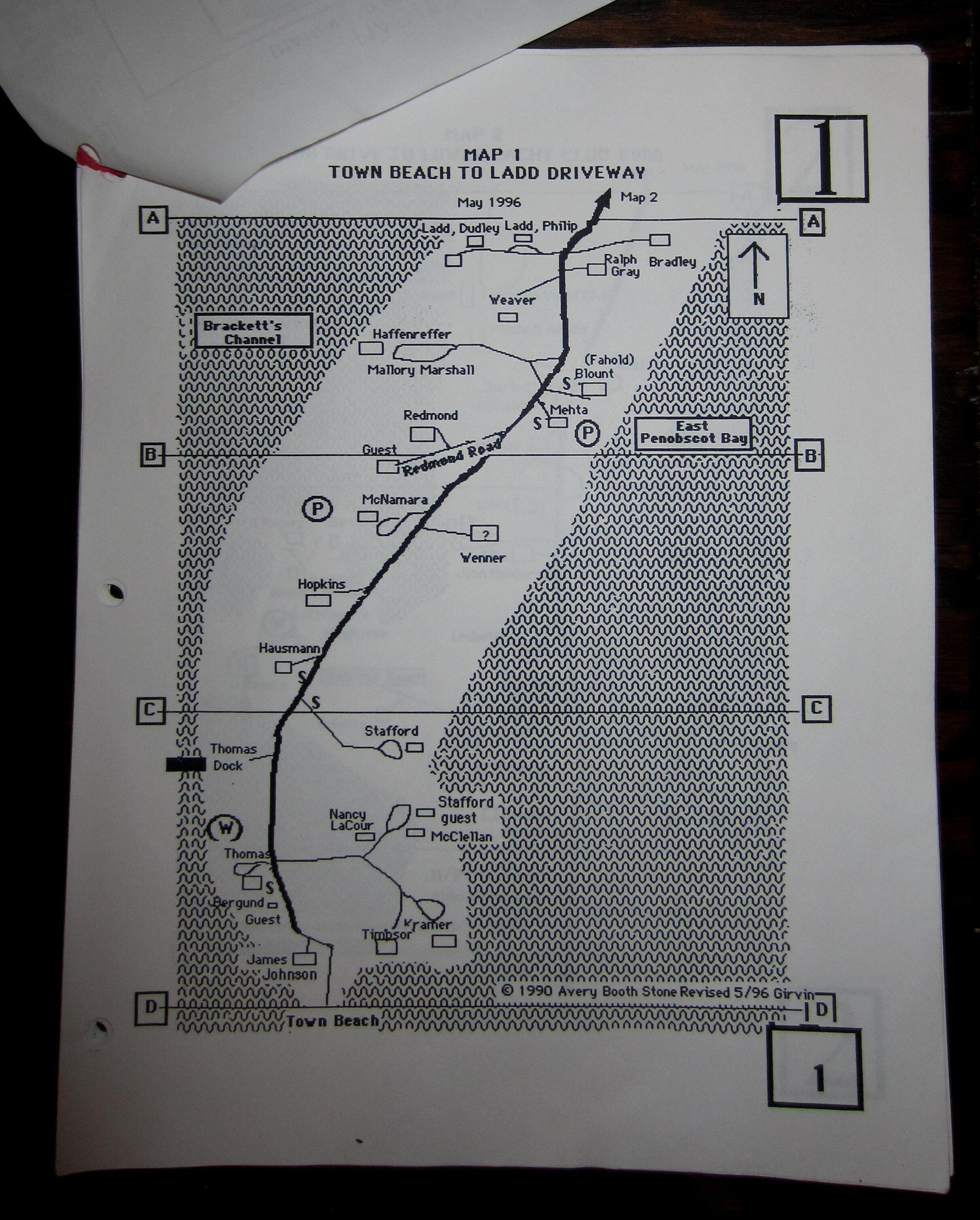
Roads and residents on Islesboro in the 1990s, 20 pages of maps of roads and residences generated for the Ambulance Assoc to assist in finding persons in emergency situations. This was drawn up before the 911 system with its official road names, house numbers and required signage. Computer-generated by Ed & Alice Girvin, with indicators concerning access by the ambulance. An absolute necessity for drivers, PAs, EMTs et al., especially those new to the island.