Name/Title
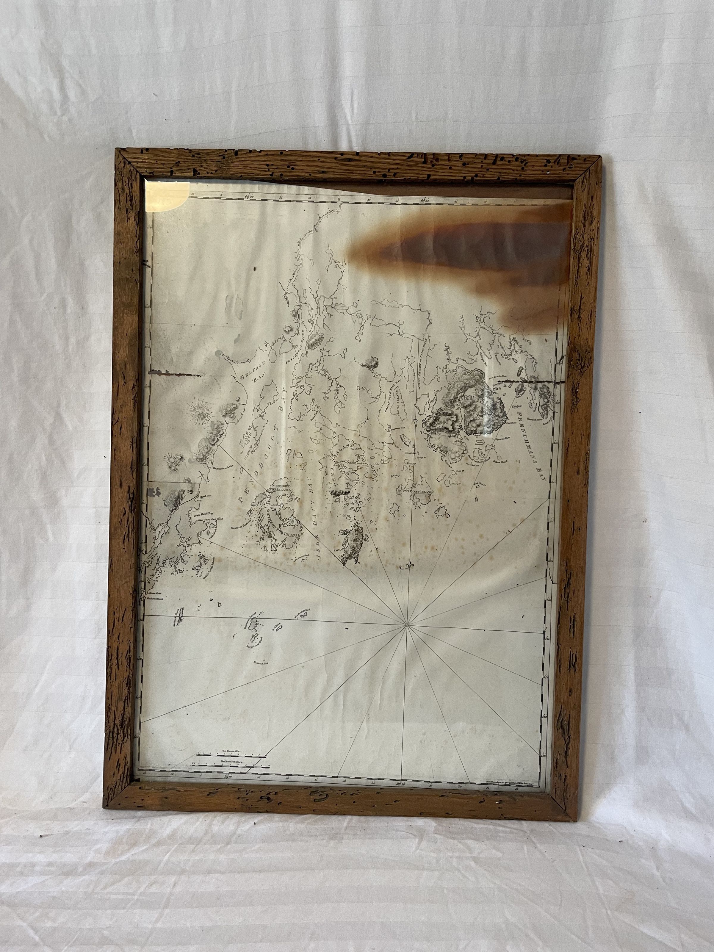
Framed Map of Penobscot Bay, LFW Des BarresEntry/Object ID
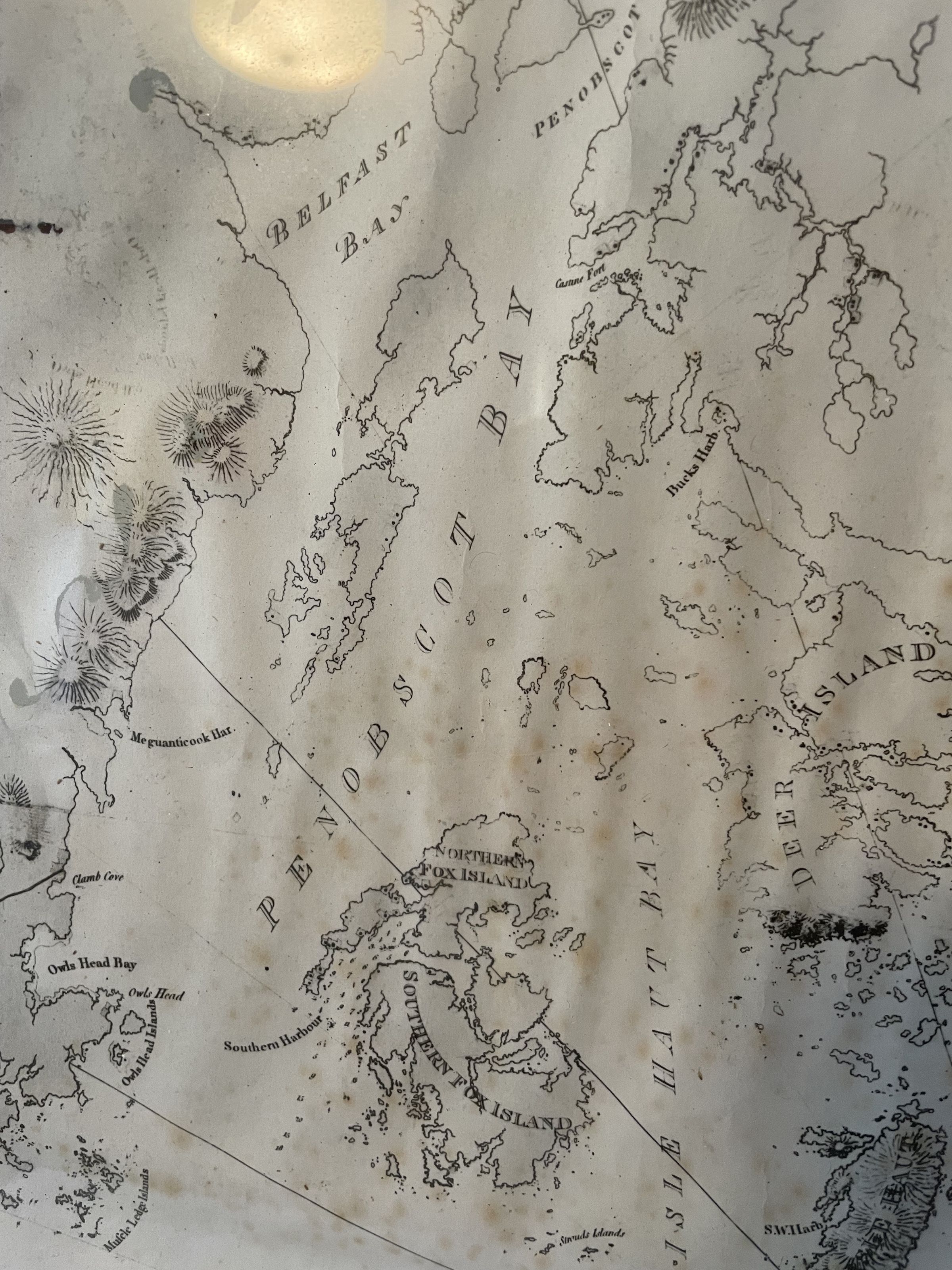
LH.2022.001.141Description
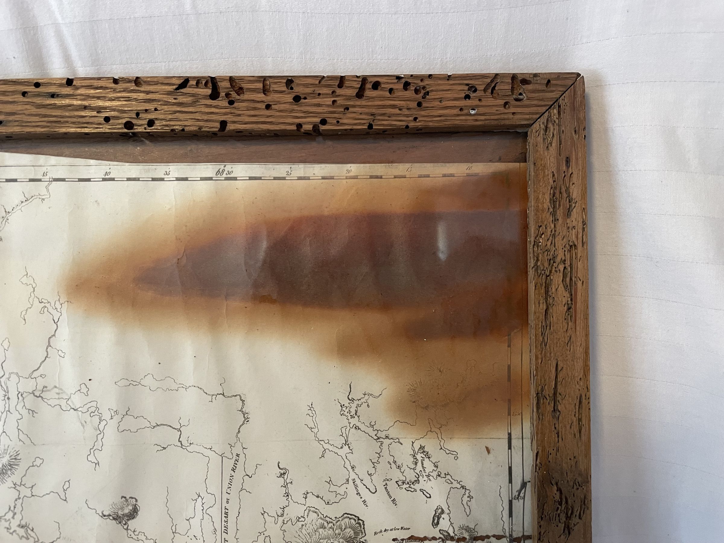
A framed black and white map of penobscot bay, including Islesboro Island. The map has significant staining in the upper right corner, and is extremely faded.
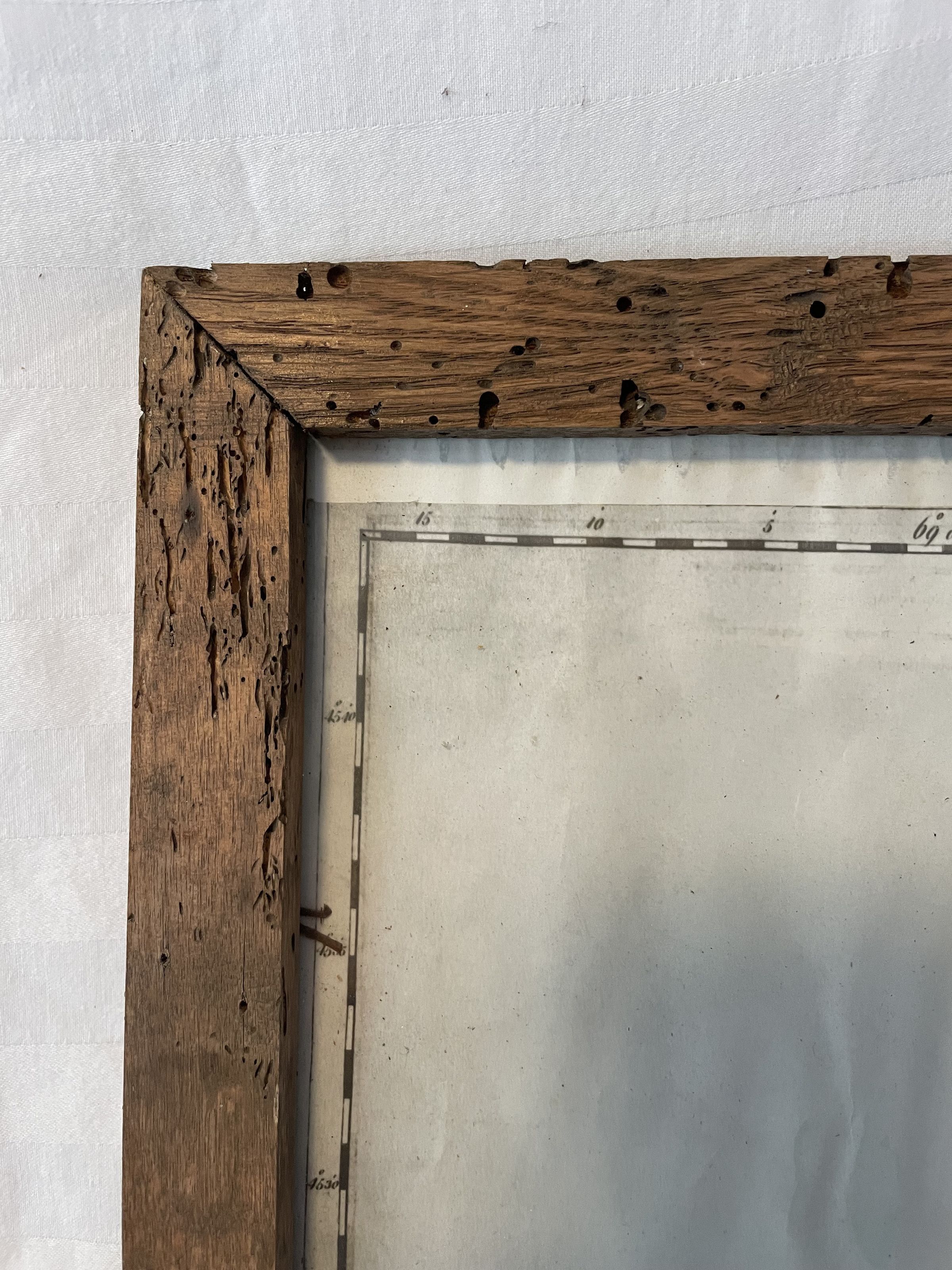
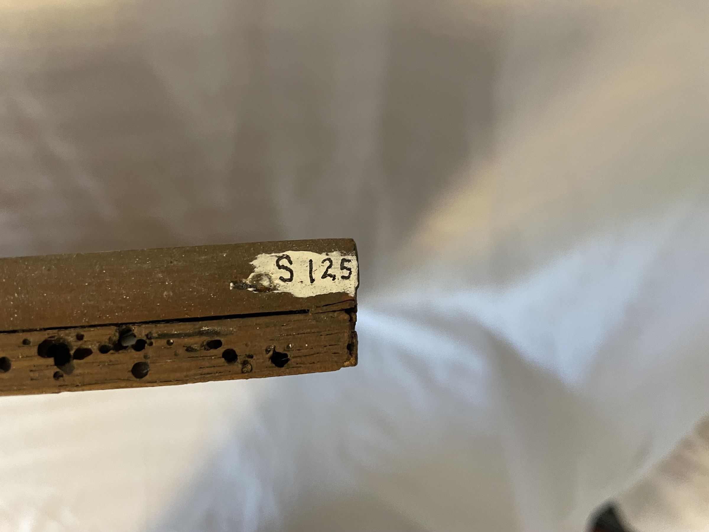
The frame is wood with many holes and markings.
The map was potentially made by Joseph Frederick Wallet Des Barres: Labeled in the Marcy Ledger as LFW Des Barrgs.