Name/Title
Aerial photo of Harpers Ferry areaEntry/Object ID
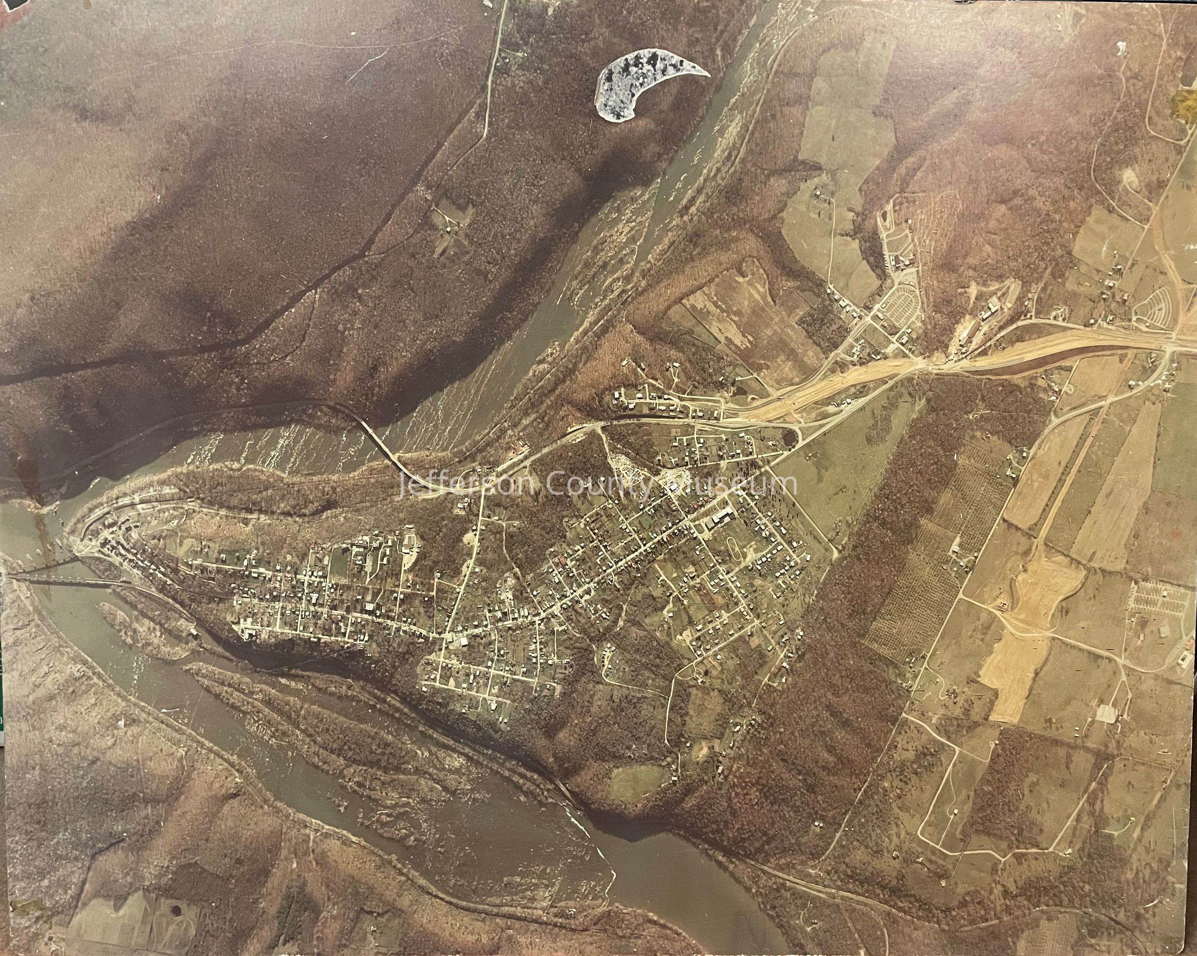
IMG3858Description
Aerial color photo of Harpers Ferry area from the confluence of Shenandoah and Potomac Rivers west to intersection of Bakerton and Millville Roads, ca. 1971-1972, photographer unknown. Shows construction of new Route 340. Photo affixed to board and wire attached for hanging.Acquisition
Accession
474Source or Donor
Carroll, JayAcquisition Method
GiftMade/Created
Date made
1971 - 1972Place
* Untyped Place
Harpers Ferry, West Virginia