Name/Title
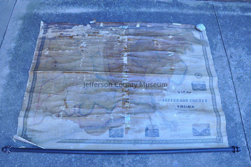
Map of Jefferson County Virginia by S. Howell Brown from Actual Survey with the farm limits.Entry/Object ID
ARC686Scope and Content
1852 map of Jefferson County, VIrginia, by S. Howell Brown showing farms and the owners' names. Includes population table and table of the fall in the Shenandoah River. Insets include views of Charles Town, Sheperdstown, Harpers Ferry, and Shannondale Springs. Wooden roller along one end, missing wooden stretcher along opposite end. Size does not include roller.
Handwritten at bottom right is Property of Jefferson County Historical Society 1944.Acquisition
Accession
00Source or Donor
Found in collectionAcquisition Method
Gift