Name/Title
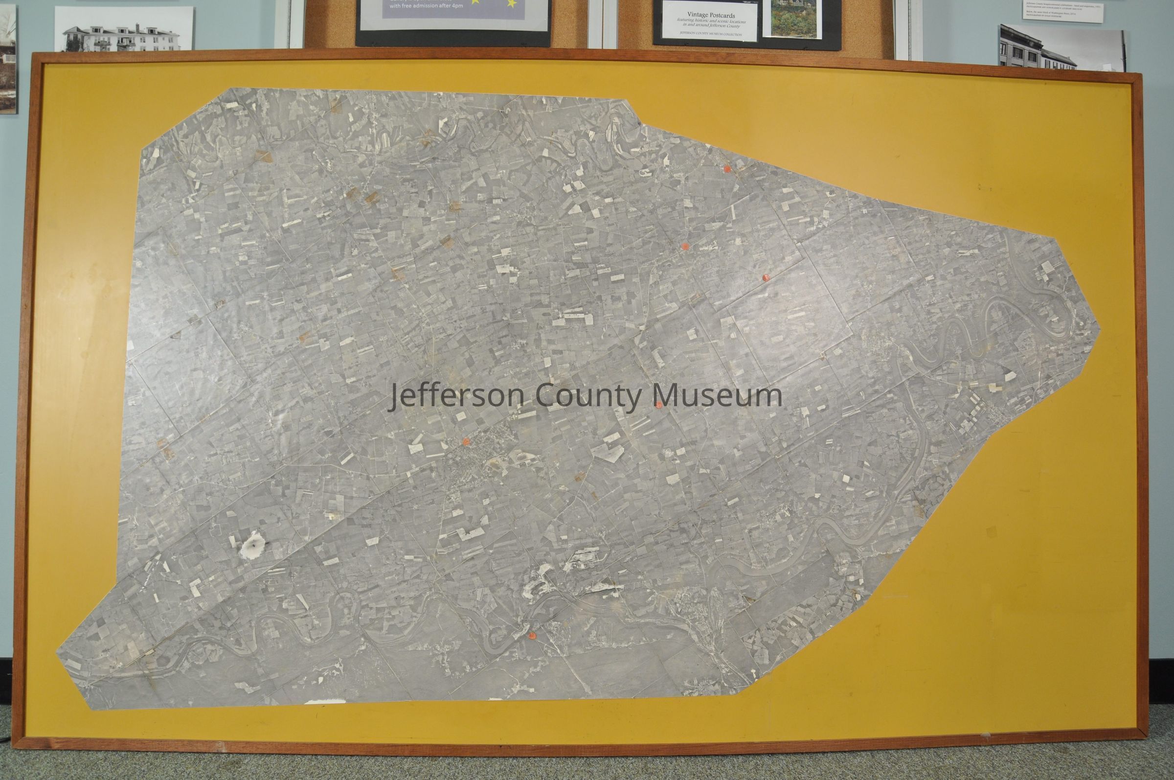
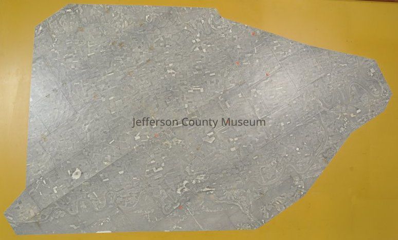
Aerial photograph of Jefferson County, West Virginia - mounted and framedEntry/Object ID
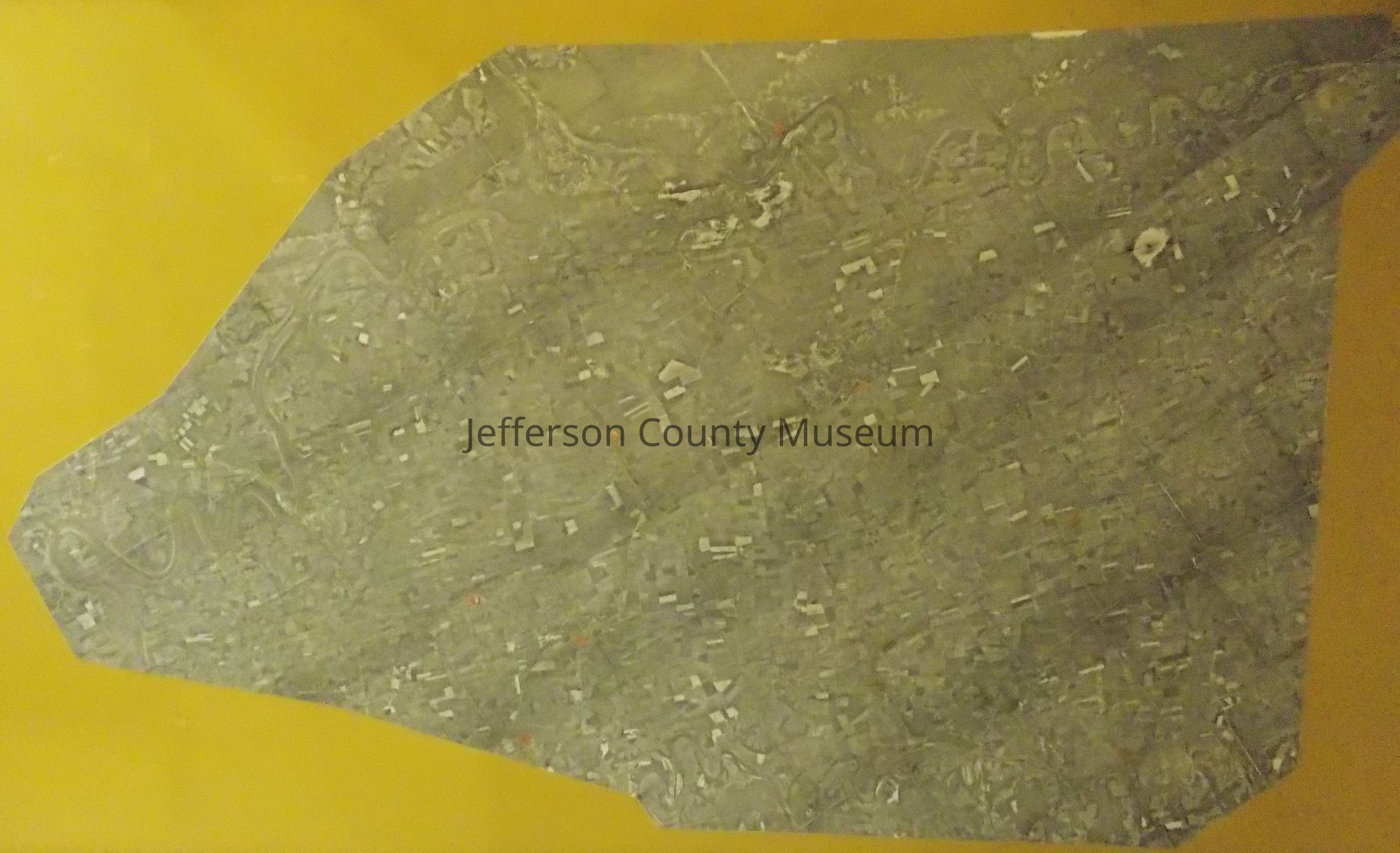
ARC12Description
Dozens of individual photographs are cut, fitted together, and pasted onto the board. Photographs were taken between 1965 and 1968, probably in 1966 or 1967, based on following analysis by Doug Perks and Jim Glymph:
--1965--Roads had been constructed in Riverside development by Glymph's father (Roads can be seen in the development, which is adjacent to the Shenandoah River, on the east side of the river at the last bend in the river before it enters Clarke County, Va.)
--1968--Roads were constructed in Avon Bend development by Glymph's father. This map shows no roads in Avon Bend, which at the time the photographs were taken was a farm west of the river in the large bend in the river across from the Shannondale development on the mountain.)
--1968--The John Brown Fort was moved from Storer College campus to lower Harpers Ferry. In this aerial map, the fort is on the Storer campus.Acquisition
Accession
00Source or Donor
Found in collectionAcquisition Method
GiftMap Details
Area or Region
* Untyped Area or Region
Jefferson County, West VirginiaDate Published
1965 - 1968