Name/Title
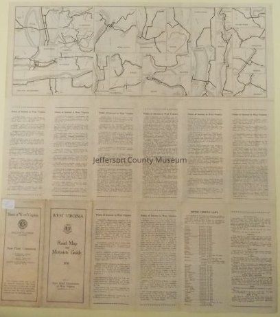
West Virginia Road Map and Motorists' GuideEntry/Object ID
ARC70Description
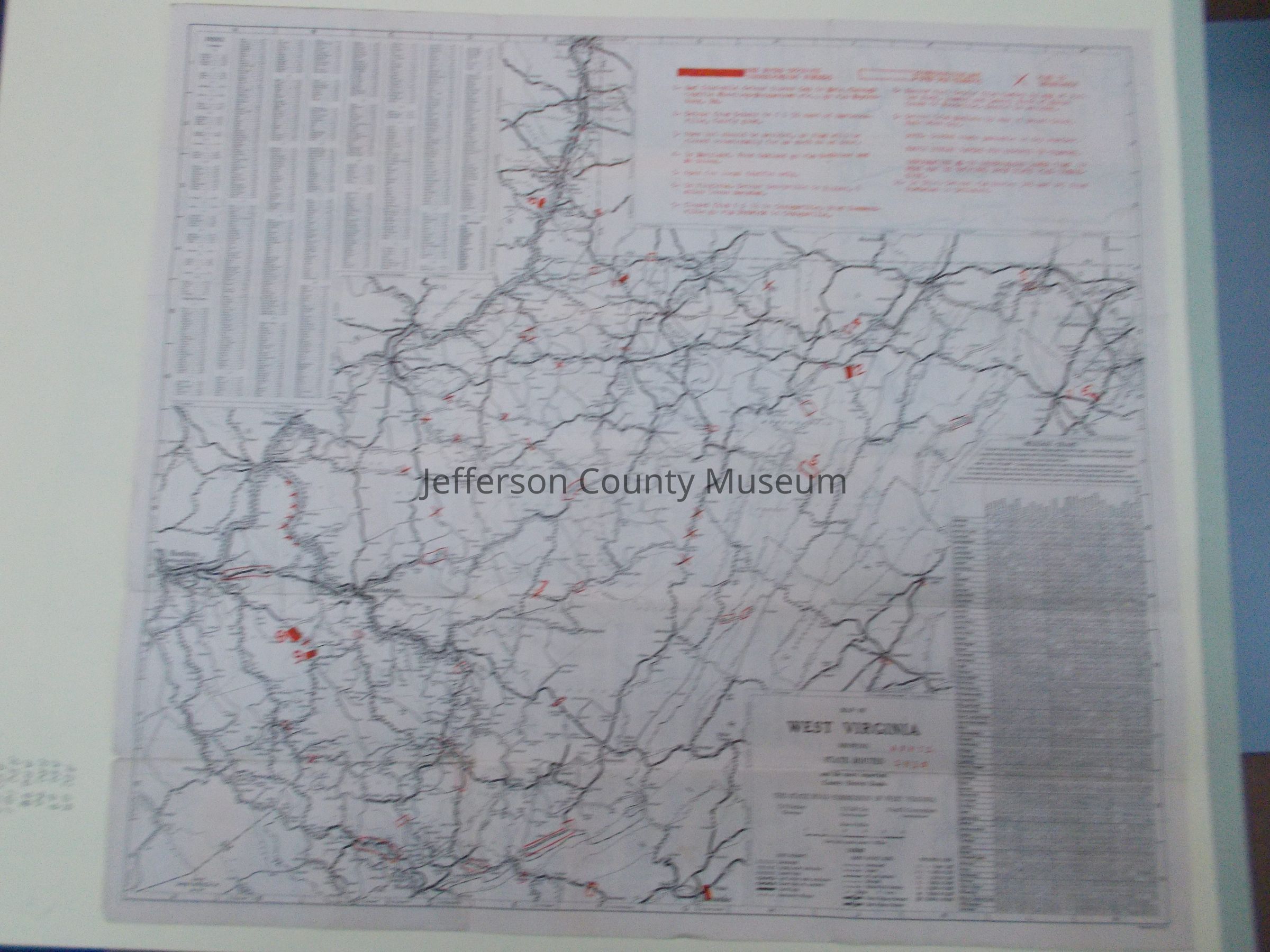
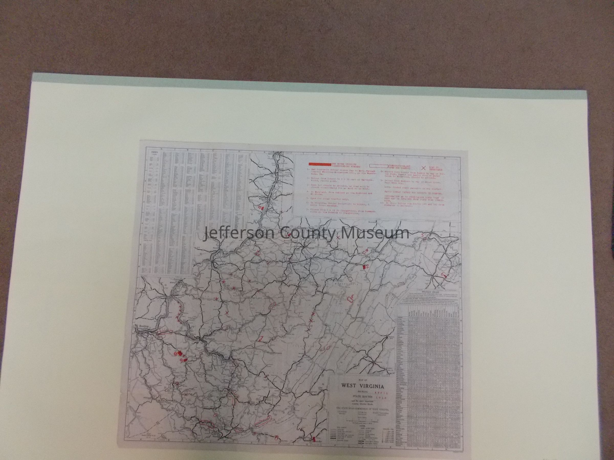
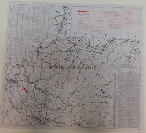
Map of West Virginia showing state routes and the more important county - district roads. According to Doug Perks, JCM historian, the map coincides with a time when the state was constructing new roads and repairing existing roads; hence there is a legend showing roads that are impassable, roads that are open for traffic, etc.
Insets: Beckley, Bluefield, Buckhannon, Charleston, Clarksburg, Elkins, Fairmont, Grafton, Hinton, Greater Huntington, Logan, Martinsburg, Morgantown, Moundsville, Parkersburg, Point Pleasant, Princeton, Sistersville, Welch, Wellsburg, Weston, Wheeling, and Williamson; also and index, mileage chart, points of interest, and motor vehicle laws.Acquisition
Accession
530Source or Donor
Smith, JohnAcquisition Method
GiftMap Details
Scale
1 inch to 11 milesArea or Region
State/Province
West VirginiaCountry
United States of AmericaContinent
North AmericaProjection
unknownPublisher
West Virginia State Road CommissionPlace Published
* Untyped Place Published
Charleston, WVDate Published
1930Medium
PaperPublication Language
English