Name/Title
Jefferson County, West Virginia, Explore MapsEntry/Object ID
ARC165Description
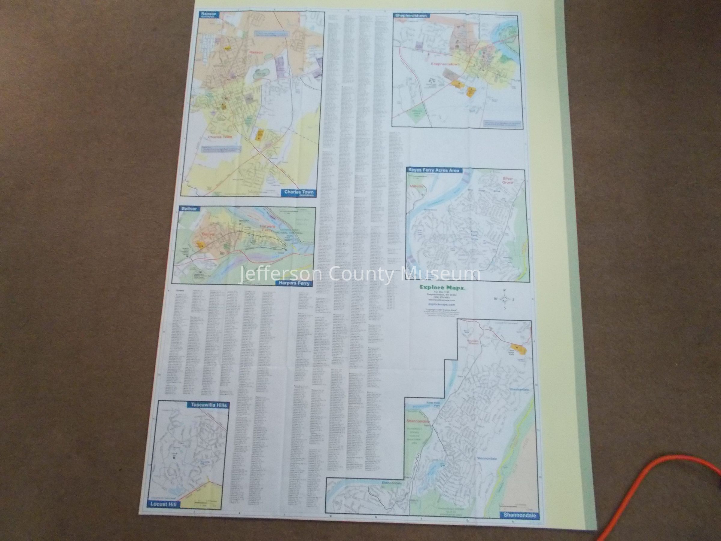
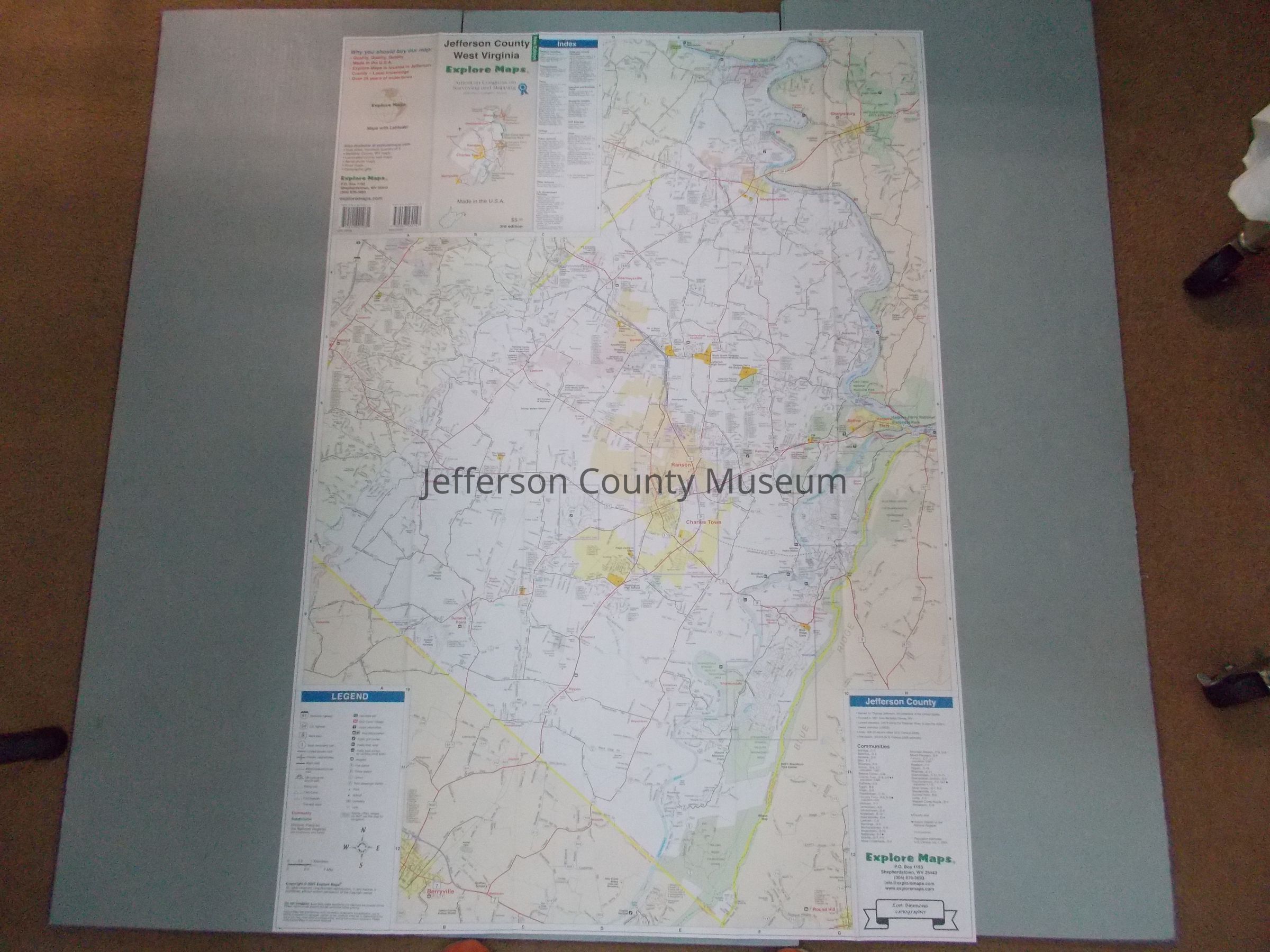
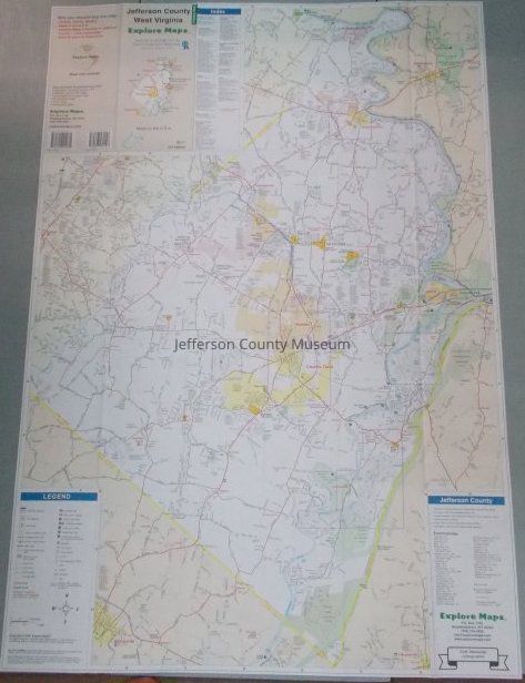
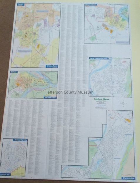
Lori Simmons, cartographer. Detailed color map of Jefferson County. Population estimates from July 1, 2006 census. Provides boundaries of Appalachian Trail, Harpers Ferry National Historical Park, Antietam National Battlefield, Shannondale Springs Wildlife Management Area, Rolling Ridge Foundation, Sam Michael's Park, and other points of interest.
Insets: Charles Town/Ranson, Bolivar/Harpers Ferry, Tuscawilla Hills/Locust Hill, Shannondale, Keyes Ferry Acres Area, and Shepherdstown and street indices.Acquisition
Accession
62Source or Donor
Jefferson County MuseumAcquisition Method
PurchaseMap Details
Scale
1.5" = 1 milesArea or Region
* Untyped Area or Region
Jefferson County, WVProjection
unknownEdition
3rd editionPublisher
Explore MapsPlace Published
* Untyped Place Published
Shepherdstown, WVDate Published
2007Medium
PaperPublication Language
English