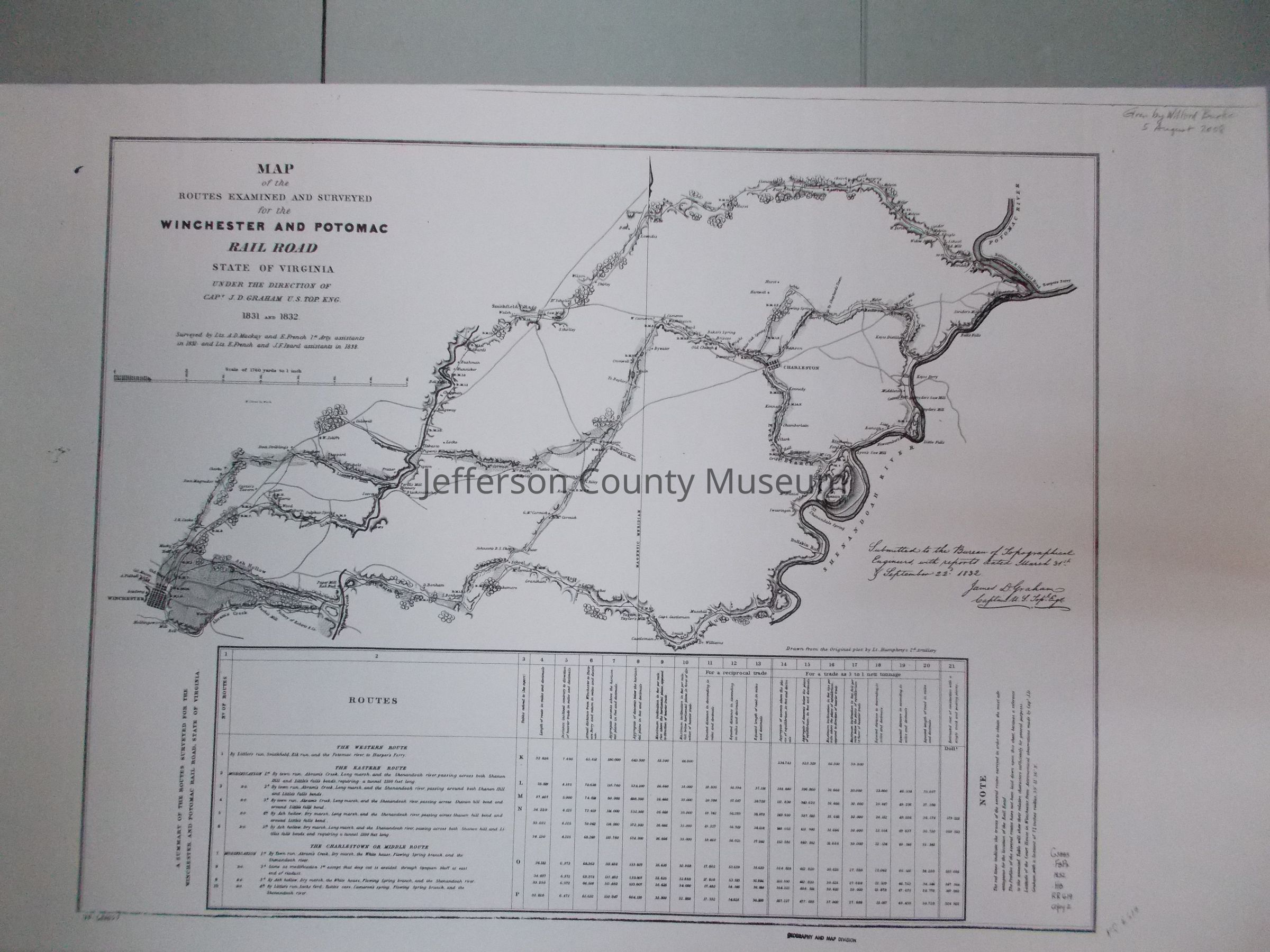
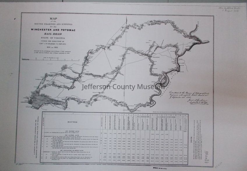
Name/Title
Map of the Routes Surveyed and Examined for the Winchester and Potomac Railroad.Entry/Object ID
ARC167Description
Two black & white reproductions (ARC167a and 167b) of original map, showing the Eastern Route, the Western Route, and the Charlestown or Middle Route of the Winchester and Potomac Railroad. .
Insets: RoutesAcquisition
Accession
458Source or Donor
Burke, WilfordAcquisition Method
GiftMap Details
Scale
1" = 1760 yardsArea or Region
* Untyped Area or Region
from Winchester, VA to Harpers Ferry, VA (now WV).Projection
unknownPublisher
UnknownPlace Published
* Untyped Place Published
unknownDate Published
1831 - 1832Medium
PaperPublication Language
EnglishMap Notes
Date(s): 1832