Name/Title
Shepherdstown Quadrangle--USGS mapEntry/Object ID
ARC196Description
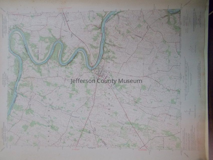
Color-coded map of Shepherdstown, WV area, including small portion of Berkeley County, WV and small portion of Maryland east of Potomac River. Mapped by U.S. Army Corps of Engineers. Topography by Soil Conservation Service. 1953 map was photorevised in 1971: revisions shown in purple compiled by the U. S. Geological Survey from aerial photographs taken 1971.Acquisition
Accession
00Source or Donor
Found in collectionAcquisition Method
GiftMap Details
Scale
1:24000Area or Region
* Untyped Area or Region
Part of West Virginia and MarylandProjection
Polyconic ProjectionPublisher
U.S. Geological SurveyPlace Published
* Untyped Place Published
Washington, DCDate Published
1972Medium
PaperPublication Language
EnglishMap Notes
Date(s): 1972