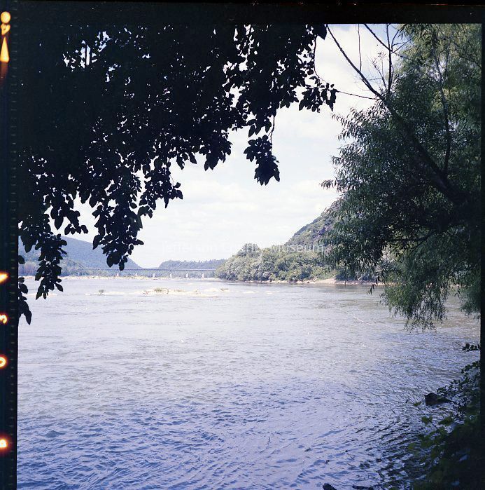
The Point. Several images of The Point - the confluence of the Shenandoah and Potomac Rivers at Harpers Ferry - the lowest point in West Virginia (489 feet).
IMG1765-1: View from The Point looking into the Harpers Ferry Gap. Maryland Heights on the left and Loudoun Heights on the right. In the distance is the Route 340 bridge over the Potomac River.
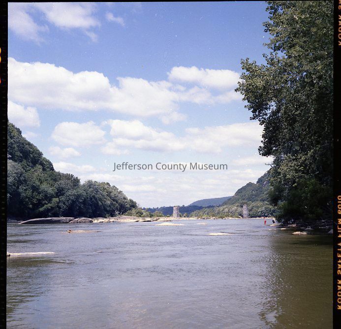
IMG1765-2: View upstream of The Point on the Shenandoah looking into The Gap. The stone piers of the Shenandoah River Bridge built in 1882 and destroyed in the 1936 flood are visible in the distance.
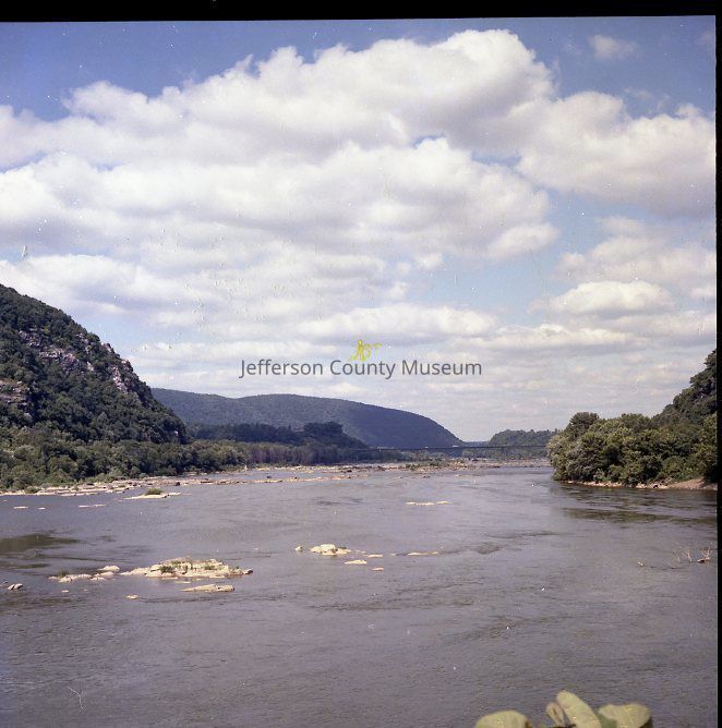
IMG1765-3: View of the Harpers Ferry Gap, Maryland Heights (left), White Horse Rapids (center), and Loudoun Heights (right). The Route 340 bridge across the Potomac River is visible in the distance.
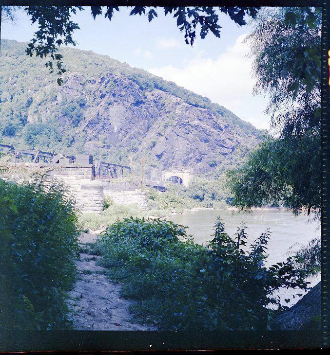
IMG1765-4: Original stone piers for the B & O Railroad bridge at Harpers Ferry; this railroad bridge was replaced in 1894 when the B & O tunneled through Maryland Heights and moved the mainline further up the Potomac River.
Acquisition
Accession
358
Source or Donor
Fitzpatrick, Edwin A., III
Acquisition Method
Donation
Credit Line
From the Edwin A. Fitzpatrick, Jr., Collection
Made/Created
Artist
Fitzpatrick, Edwin A.
Studio
Edwin A. Fitzpatrick, 627 Jefferson Avenue, Charles Town, WV