Name/Title
Map of Jefferson County Virginia by S. Howell BrownEntry/Object ID
ARC575Description
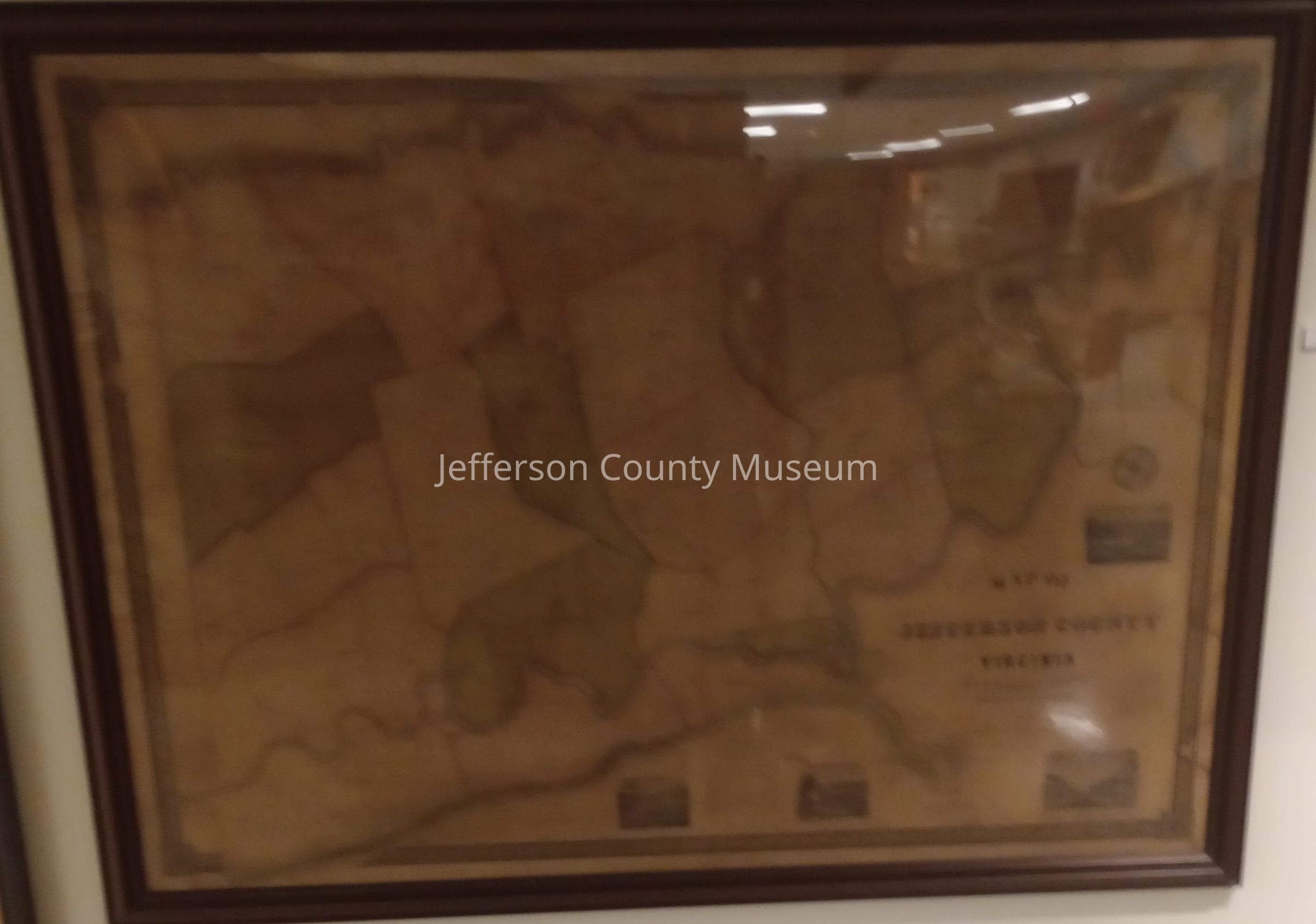
Framed map of Jefferson County, 1852 by S. Howell Brown. 27 district are shown and delineated. Four engraved scenes of Jefferson County are shown. Legend in right corner "MAP OF JEFFERSON COUNTY VIRGINIA BY S. HOWELL BROWN".Acquisition
Accession
222Source or Donor
Knotts, Alida PennieAcquisition Method
GiftMap Details
Maker or Creator
Brown, Samuel HowellArea or Region
* Untyped Area or Region
Jefferson County, West VirginiaDate Published
1852Medium
PaperPublication Language
EnglishMap Notes
Date(s): 1852 circa