Name/Title
Map of VirginiaEntry/Object ID
ARC581Description
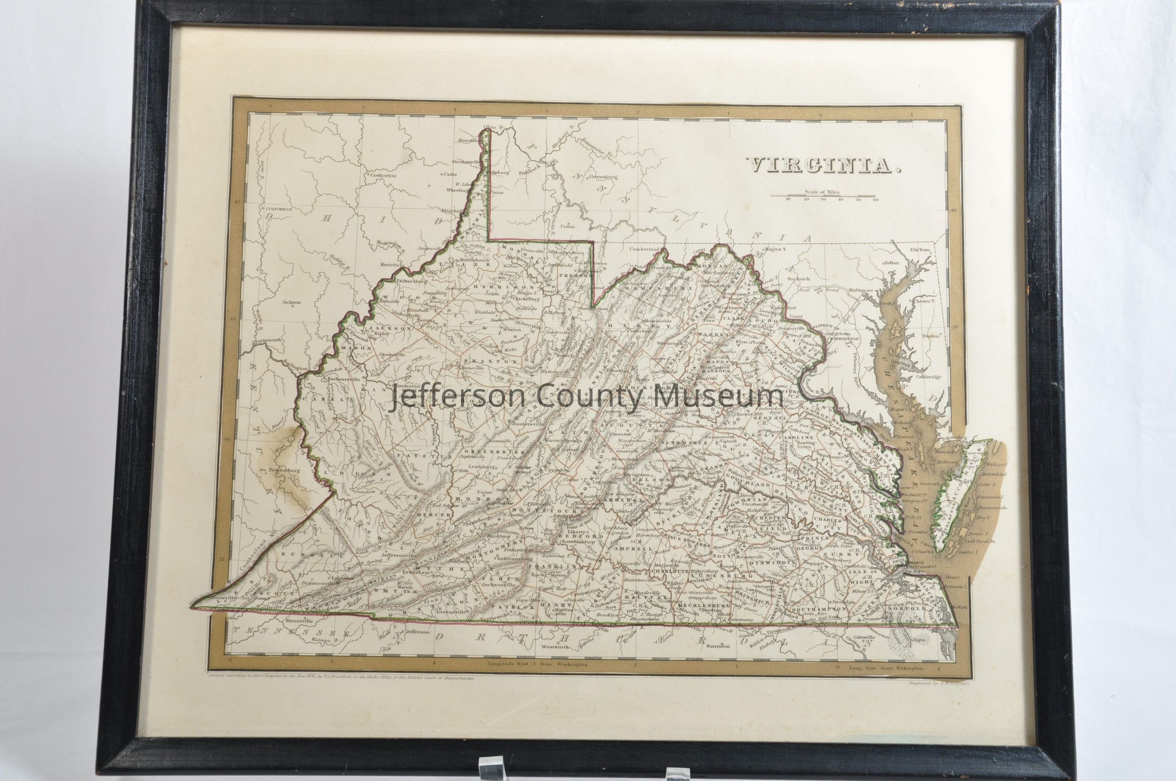
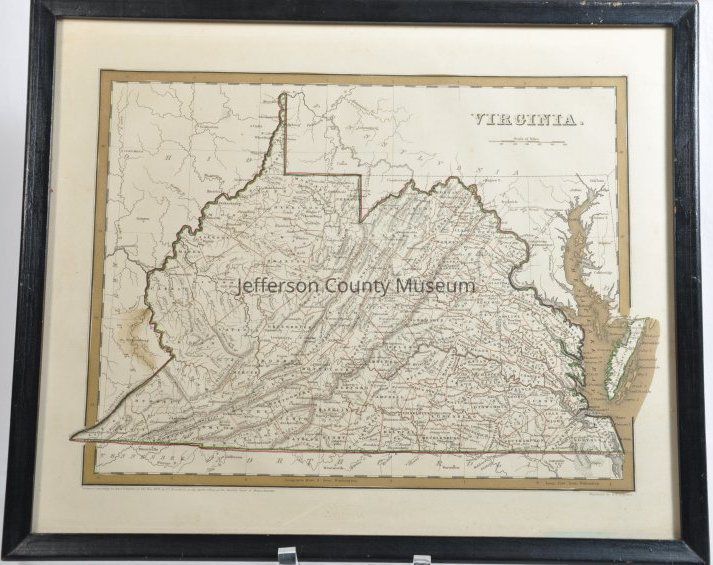
Map of Virginia showing all of present day West Virginia. Map is tan and hand colored around border, the Chesapeake Bay and a red and green line around state boundary. In top right corner "VIRGINIA.". Below that is "Scale of Miles" from 10 to 60. In lower left corner "Entered according to Act of Congress, in the Year 1838, by T. G. Bradford, in the Clerk's Office, of the District Court of Massachusetts". In lower right corner "Engraved by G. W. Boynton." Framed.Acquisition
Accession
244Source or Donor
O'Brien, John & SylvieAcquisition Method
GiftMap Details
Area or Region
* Untyped Area or Region
Virginia (including present day WV), and small parts of surrounding statesPublisher
T. G. BradfordPlace Published
* Untyped Place Published
MassachusettsDate Published
1838