Name/Title
Map of Jefferson County West Virginia Also known as Shaw-Whitmer map of Jefferson CountyEntry/Object ID
ARC632Description
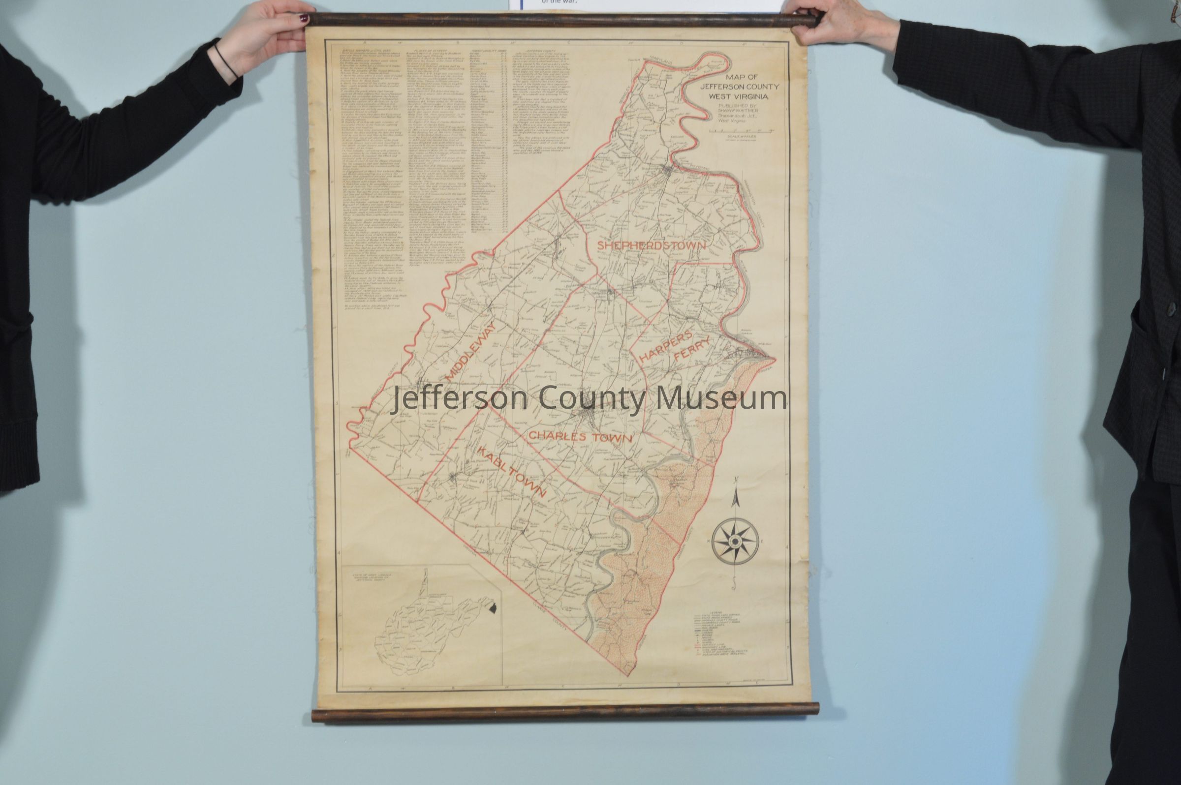
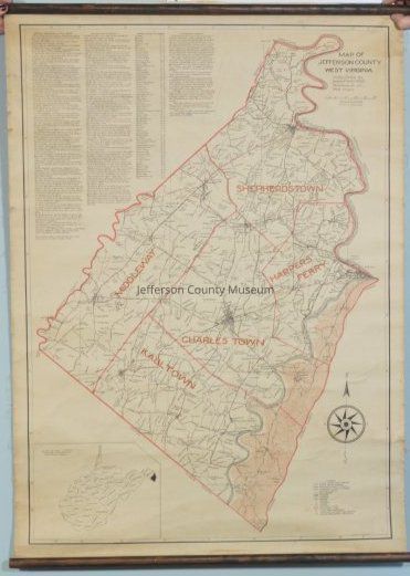
Map of Jefferson County, West Virginia, drawn by W. C. Whitmer. Shows the magisterial districts of Shepherdstown, Middleway, Kabletown (misspelled as Kabltown), Charles Town, and Harpers Ferry. Also shows farms and their names. In the upper left corner are the following lists: Battle Markers of the Civil War; Places of Interest; and Towns & Locality Names. Population taken from the 1920 census. Wooden rollers at each end; dimensions do not include the wooden rollers.
Insets: Outline map of West Virginia with counties and their names and showing location of Jefferson County in lower left corner; legend in lower right corner.Acquisition
Accession
79Source or Donor
Read, Eleanor PerryAcquisition Method
GiftMap Details
Area or Region
* Untyped Area or Region
Jefferson County, West VirginiaPublisher
Shaw and WhitmerPlace Published
* Untyped Place Published
Shenandoah Junction, WVMedium
Paper on fabric backingPublication Language
EnglishMap Notes
Date(s): 1920 circa